512 Jasper Cir Unit (Lot 15) Flowood, MS 39232
Estimated Value: $457,000 - $525,633
4
Beds
4
Baths
2,678
Sq Ft
$186/Sq Ft
Est. Value
About This Home
This home is located at 512 Jasper Cir Unit (Lot 15), Flowood, MS 39232 and is currently estimated at $496,908, approximately $185 per square foot. 512 Jasper Cir Unit (Lot 15) is a home located in Rankin County with nearby schools including Northwest Rankin Elementary School, Northwest Rankin Middle School, and Northwest Rankin High School.
Ownership History
Date
Name
Owned For
Owner Type
Purchase Details
Closed on
Dec 22, 2017
Sold by
Herrin William Harold and Herrin Lee Tucker
Bought by
Mckenna Theresa and Baxter John
Current Estimated Value
Home Financials for this Owner
Home Financials are based on the most recent Mortgage that was taken out on this home.
Original Mortgage
$288,000
Outstanding Balance
$242,345
Interest Rate
3.92%
Mortgage Type
New Conventional
Estimated Equity
$254,563
Purchase Details
Closed on
Aug 15, 2008
Sold by
Property Resources Inc
Bought by
Herrin William Harold and Herrin Lee Tucker
Home Financials for this Owner
Home Financials are based on the most recent Mortgage that was taken out on this home.
Original Mortgage
$288,800
Interest Rate
6.21%
Create a Home Valuation Report for This Property
The Home Valuation Report is an in-depth analysis detailing your home's value as well as a comparison with similar homes in the area
Home Values in the Area
Average Home Value in this Area
Purchase History
| Date | Buyer | Sale Price | Title Company |
|---|---|---|---|
| Mckenna Theresa | -- | None Available | |
| Herrin William Harold | -- | -- |
Source: Public Records
Mortgage History
| Date | Status | Borrower | Loan Amount |
|---|---|---|---|
| Open | Mckenna Theresa | $288,000 | |
| Previous Owner | Herrin William Harold | $288,800 |
Source: Public Records
Tax History Compared to Growth
Tax History
| Year | Tax Paid | Tax Assessment Tax Assessment Total Assessment is a certain percentage of the fair market value that is determined by local assessors to be the total taxable value of land and additions on the property. | Land | Improvement |
|---|---|---|---|---|
| 2024 | $4,244 | $38,667 | $0 | $0 |
| 2023 | $3,071 | $37,701 | $0 | $0 |
| 2022 | $3,032 | $37,701 | $0 | $0 |
| 2021 | $3,032 | $37,701 | $0 | $0 |
| 2020 | $3,032 | $37,701 | $0 | $0 |
| 2019 | $3,104 | $33,631 | $0 | $0 |
| 2018 | $3,052 | $33,631 | $0 | $0 |
| 2017 | $3,628 | $33,631 | $0 | $0 |
| 2016 | $3,386 | $32,971 | $0 | $0 |
| 2015 | $3,386 | $32,971 | $0 | $0 |
| 2014 | $3,316 | $32,971 | $0 | $0 |
| 2013 | -- | $32,971 | $0 | $0 |
Source: Public Records
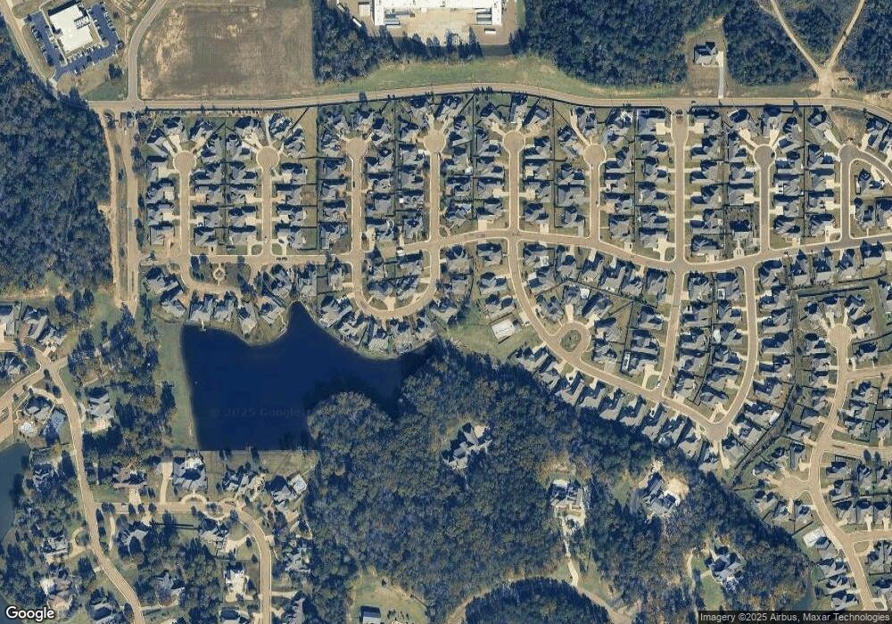
Map
Nearby Homes
- 156 Latter Rayne Dr
- 1004 Sapphire Crossing
- 910 Abundance Crossing
- 517 Central Cir
- 504 Central Cir
- 509 Central Cir
- 704 Prosperity Crossing
- 600 Ponderosa Dr
- 193 Grace Dr
- 609 Big Valley Loop
- 625 Big Valley Loop
- 620 Big Valley Loop
- 638 Big Valley Loop
- 636 Big Valley Loop
- 0 Big Valley Loop
- 125 Leslie Dr
- 129 Leslie Dr
- 113 Leslie Dr
- 117 Leslie Dr
- 121 Leslie Dr
- 512 Jasper Cir
- 514 Jasper Cir
- 510 Jasper Cir
- 511 Jasper Cir
- 13 Jasper Cir Unit 13
- 13 Jasper Cir
- 508 Jasper Cir
- 1404 Ruby Point
- 126 Latter Rayne Dr
- 1402 Ruby Point
- 505 Jasper Cir
- 0 Scarlet Cove Unit 42 212602
- 0 Scarlet Cove Unit 42 228988
- 0 Scarlet Cove Unit lot 37 1179560
- 0 Scarlet Cove Unit Lot 35 1179561
- 0 Scarlet Cove Unit lot 36 1179563
- 0 Scarlet Cove Unit 42 1212602
- 0 Scarlet Cove Unit 42 1228988
- 1400 Ruby Point
- 506 Jasper Cir