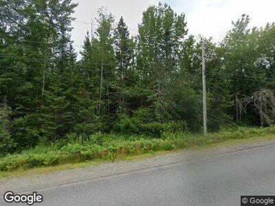
512 Lagrange Rd Bradford, ME 04410
Estimated Value: $118,060 - $285,000
--
Bed
--
Bath
1,115
Sq Ft
$157/Sq Ft
Est. Value
About This Home
This home is located at 512 Lagrange Rd, Bradford, ME 04410 and is currently estimated at $174,515, approximately $156 per square foot. 512 Lagrange Rd is a home with nearby schools including Central Community Elementary School and Central High School.
Create a Home Valuation Report for This Property
The Home Valuation Report is an in-depth analysis detailing your home's value as well as a comparison with similar homes in the area
Home Values in the Area
Average Home Value in this Area
Mortgage History
| Date | Status | Borrower | Loan Amount |
|---|---|---|---|
| Closed | Hall Dale R | $50,000 |
Source: Public Records
Tax History Compared to Growth
Tax History
| Year | Tax Paid | Tax Assessment Tax Assessment Total Assessment is a certain percentage of the fair market value that is determined by local assessors to be the total taxable value of land and additions on the property. | Land | Improvement |
|---|---|---|---|---|
| 2024 | $1,404 | $84,000 | $26,400 | $57,600 |
| 2023 | $1,361 | $84,000 | $26,400 | $57,600 |
| 2022 | $1,327 | $66,700 | $20,300 | $46,400 |
| 2021 | $1,434 | $66,700 | $20,300 | $46,400 |
| 2020 | $1,487 | $66,700 | $20,300 | $46,400 |
| 2019 | $1,464 | $66,700 | $20,300 | $46,400 |
| 2018 | $1,598 | $70,400 | $20,300 | $50,100 |
| 2016 | $1,373 | $65,700 | $20,300 | $45,400 |
| 2015 | $1,340 | $65,700 | $20,300 | $45,400 |
| 2014 | $1,239 | $65,200 | $20,300 | $44,900 |
| 2013 | $1,229 | $65,700 | $20,300 | $45,400 |
Source: Public Records
Map
Nearby Homes
- L8M37-01 Storer Rd
- 1036 Main Rd
- 38 Ridge Rd
- 199 Middle Rd
- TBD Ridge Rd Unit Lot 1
- 303 Williams Rd
- 71 Loon Island Blueberry Island
- 0 Gravy Ln Unit 1577467
- lot # 000 Mill St
- 127 East Rd
- 5-27 Cooks Island
- 585 Charleston Rd
- Lot 25.1 Pleasant Pond Rd
- 1598 Elm St
- M1L75A S Lagrange Rd
- 394 Main Rd
- 329 Main Rd
- TBD Upper-Charleston Rd
- 265 Main Rd
- TBD Gravy Ln
