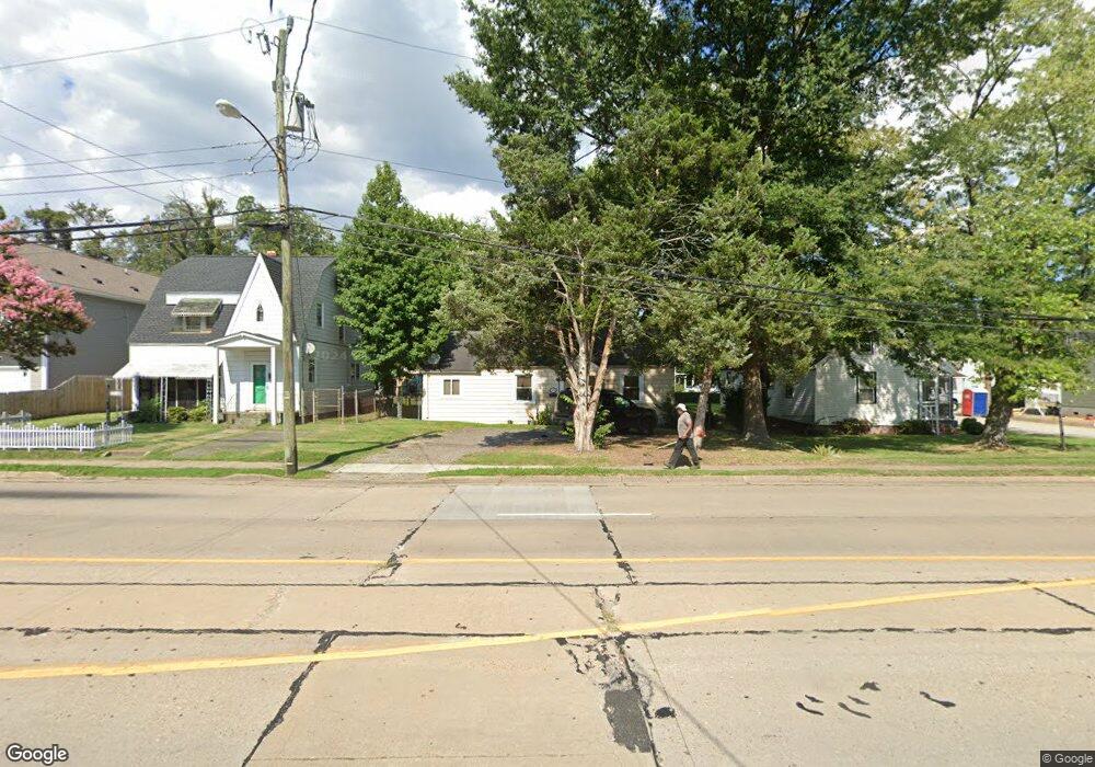
512 Lasalle Ave Hampton, VA 23661
Westhampton NeighborhoodEstimated Value: $143,000 - $199,000
2
Beds
1
Bath
1,136
Sq Ft
$159/Sq Ft
Est. Value
About This Home
This home is located at 512 Lasalle Ave, Hampton, VA 23661 and is currently estimated at $180,084, approximately $158 per square foot. 512 Lasalle Ave is a home located in Hampton City with nearby schools including Hunter B. Andrews PK-8 School, C. Alton Lindsay Middle School, and Hampton High School.
Ownership History
Date
Name
Owned For
Owner Type
Purchase Details
Closed on
Oct 20, 2016
Sold by
Wells Fargo Bank Na
Bought by
J & M Real Estate Investments Llc
Current Estimated Value
Purchase Details
Closed on
Mar 2, 2016
Sold by
Professional Foreclosure Corporation Of
Bought by
Wells Fargo Bank Na
Purchase Details
Closed on
Sep 18, 2008
Sold by
Narcavage Timothy M
Bought by
Hess Clinton C
Home Financials for this Owner
Home Financials are based on the most recent Mortgage that was taken out on this home.
Original Mortgage
$118,338
Interest Rate
6.54%
Mortgage Type
FHA
Purchase Details
Closed on
Feb 21, 2003
Sold by
First Capital Invst Grp I
Bought by
Cooper Patricia Lynn
Home Financials for this Owner
Home Financials are based on the most recent Mortgage that was taken out on this home.
Original Mortgage
$63,650
Interest Rate
5.98%
Mortgage Type
New Conventional
Create a Home Valuation Report for This Property
The Home Valuation Report is an in-depth analysis detailing your home's value as well as a comparison with similar homes in the area
Home Values in the Area
Average Home Value in this Area
Purchase History
| Date | Buyer | Sale Price | Title Company |
|---|---|---|---|
| J & M Real Estate Investments Llc | $18,250 | Attorney | |
| Wells Fargo Bank Na | $73,950 | None Available | |
| Hess Clinton C | $119,900 | -- | |
| Cooper Patricia Lynn | $67,000 | -- |
Source: Public Records
Mortgage History
| Date | Status | Borrower | Loan Amount |
|---|---|---|---|
| Previous Owner | Hess Clinton C | $118,338 | |
| Previous Owner | Cooper Patricia Lynn | $63,650 |
Source: Public Records
Tax History Compared to Growth
Tax History
| Year | Tax Paid | Tax Assessment Tax Assessment Total Assessment is a certain percentage of the fair market value that is determined by local assessors to be the total taxable value of land and additions on the property. | Land | Improvement |
|---|---|---|---|---|
| 2025 | $1,680 | $159,800 | $45,000 | $114,800 |
| 2024 | $1,680 | $146,100 | $45,000 | $101,100 |
| 2023 | $1,514 | $130,500 | $45,000 | $85,500 |
| 2022 | $1,457 | $123,500 | $40,000 | $83,500 |
| 2021 | $1,530 | $112,900 | $34,000 | $78,900 |
| 2020 | $1,333 | $107,500 | $32,000 | $75,500 |
| 2019 | $1,295 | $104,400 | $26,100 | $78,300 |
| 2018 | $1,389 | $104,400 | $26,100 | $78,300 |
| 2017 | $1,389 | $0 | $0 | $0 |
| 2016 | $1,389 | $104,400 | $0 | $0 |
| 2015 | $1,389 | $0 | $0 | $0 |
| 2014 | $1,378 | $104,400 | $26,100 | $78,300 |
Source: Public Records
Map
Nearby Homes
- 3608 Shell Rd
- 514 Homestead Ave
- 3609 Victoria Blvd
- 3605 Shell Rd
- 703 Augusta St
- 502 Homestead Ave
- 3505 Shell Rd
- 17 Palmerston Dr
- 422 Homestead Ave
- 3822 Victoria Blvd
- 613 Fairland Ave
- 621 Fairland Ave
- 703 S Fallon Ct
- 637 Ridgeway Ave
- 32 W Sunset Rd
- 722 Ridgeway Ave
- 457 Algonquin Rd
- 15 Victor St
- 812 Fairland Ave
- 3207 Shell Rd
- 514 Lasalle Ave
- 510 Lasalle Ave
- 516 Lasalle Ave
- 3715 Ervin St
- 520 Lasalle Ave
- 422 Lasalle Ave
- 3717 Ervin St
- 3721 Ervin St
- 522 Lasalle Ave
- 3716 Moore St
- 501 Lasalle Ave
- 418 Lasalle Ave
- 515 Lasalle Ave
- 3718 Moore St
- 519 Lasalle Ave
- 3722 Moore St
- 3714 Ervin St
- 3723 Ervin St
- 414 Lasalle Ave
- 3716 Ervin St