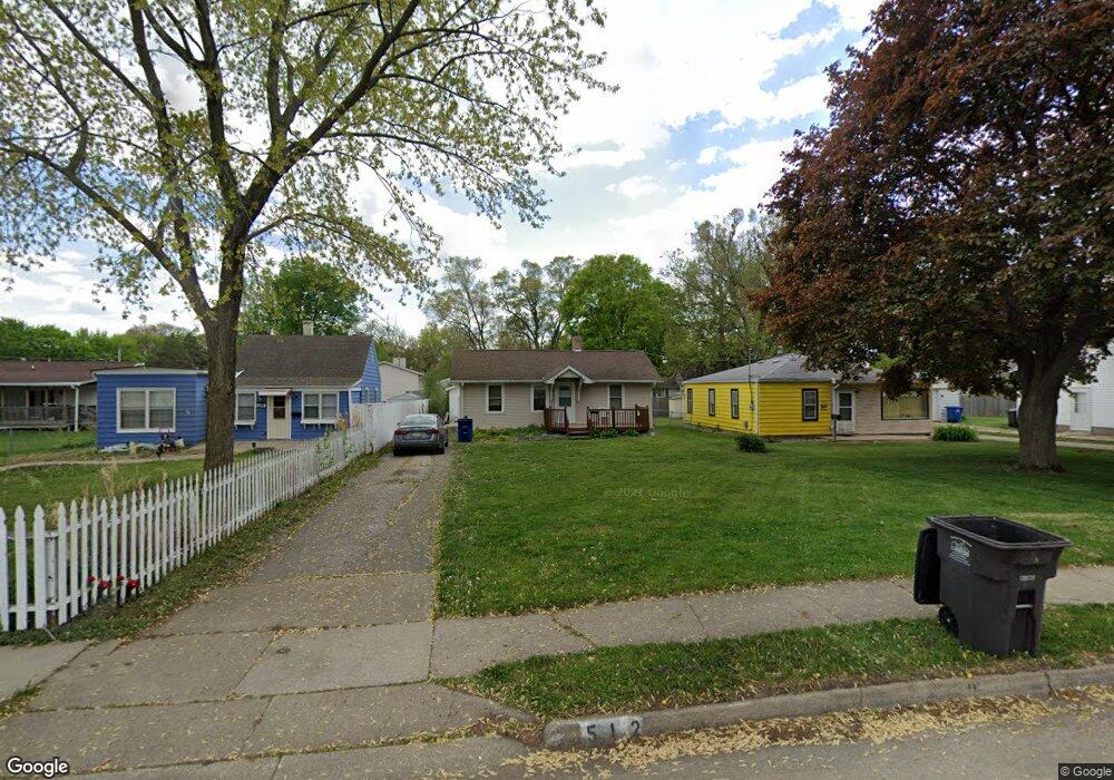
512 Leach Ave Des Moines, IA 50315
Watrous Heights NeighborhoodEstimated Value: $136,000 - $179,000
2
Beds
1
Bath
819
Sq Ft
$190/Sq Ft
Est. Value
About This Home
This home is located at 512 Leach Ave, Des Moines, IA 50315 and is currently estimated at $155,570, approximately $189 per square foot. 512 Leach Ave is a home located in Polk County with nearby schools including South Union Elementary School, Brody Middle School, and Lincoln High School.
Ownership History
Date
Name
Owned For
Owner Type
Purchase Details
Closed on
Mar 25, 2024
Sold by
Ladell A Lybarger Revocable Trust and Hartzer Mark C
Bought by
Mitchell Cory L
Current Estimated Value
Purchase Details
Closed on
Aug 30, 2010
Sold by
Lybarger Ladell A and Lybarger David K
Bought by
Lybarger Ladell A and Ladell A Lybarger Revocable Tr
Purchase Details
Closed on
Mar 12, 2007
Sold by
Anderson Melanie A and Hartzer Melanie A
Bought by
Lybarger Ladell A
Create a Home Valuation Report for This Property
The Home Valuation Report is an in-depth analysis detailing your home's value as well as a comparison with similar homes in the area
Home Values in the Area
Average Home Value in this Area
Purchase History
| Date | Buyer | Sale Price | Title Company |
|---|---|---|---|
| Mitchell Cory L | -- | None Listed On Document | |
| Lybarger Ladell A | -- | None Available | |
| Lybarger Ladell A | -- | None Available |
Source: Public Records
Tax History Compared to Growth
Tax History
| Year | Tax Paid | Tax Assessment Tax Assessment Total Assessment is a certain percentage of the fair market value that is determined by local assessors to be the total taxable value of land and additions on the property. | Land | Improvement |
|---|---|---|---|---|
| 2025 | $2,442 | $140,200 | $33,300 | $106,900 |
| 2024 | $2,442 | $124,100 | $29,100 | $95,000 |
| 2023 | $2,322 | $124,100 | $29,100 | $95,000 |
| 2022 | $2,304 | $98,500 | $23,900 | $74,600 |
| 2021 | $2,310 | $98,500 | $23,900 | $74,600 |
| 2020 | $2,400 | $92,600 | $22,400 | $70,200 |
| 2019 | $2,236 | $92,600 | $22,400 | $70,200 |
| 2018 | $2,214 | $83,200 | $19,600 | $63,600 |
| 2017 | $2,118 | $83,200 | $19,600 | $63,600 |
| 2016 | $2,064 | $78,300 | $18,100 | $60,200 |
| 2015 | $2,064 | $78,300 | $18,100 | $60,200 |
| 2014 | $2,130 | $80,200 | $18,100 | $62,100 |
Source: Public Records
Map
Nearby Homes
- 606 Marion St
- 4204 SW 7th St
- 518 Maxwelton Dr
- 515 Emma Ave
- 612 Emma Ave
- 3903 SW 9th St
- 304 Herold Ave
- . Herold Ave
- 3634 SW 4th St
- 410 Thornton Ave
- 930 Emma Ave
- 108 E Philip St
- 115 Mckinley Ave
- 117 E Watrous Ave
- 3618 SW 9th St
- 3605 SW 9th St
- 102 E Emma Ave
- 915 Wolcott Ave
- 126 E Maxwelton Dr
- 117 E Rose Ave
- 510 Leach Ave
- 514 Leach Ave
- 516 Leach Ave
- 908 Leach Ave
- 600 Leach Ave
- 515 Trowbridge St
- 4200 SW 5th St
- 4204 SW 5th St
- 509 Trowbridge St
- 519 Trowbridge St
- 507 Leach Ave
- 503 Leach Ave
- 511 Leach Ave
- 4110 SW 5th St
- 4208 SW 5th St
- 515 Leach Ave
- 608 Leach Ave
- 601 Trowbridge St
- 4108 SW 5th St
- 521 Leach Ave