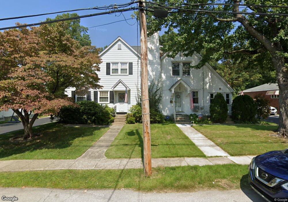
512 Lehann Cir Springfield, PA 19064
Estimated Value: $389,000 - $462,000
3
Beds
3
Baths
1,479
Sq Ft
$287/Sq Ft
Est. Value
About This Home
This home is located at 512 Lehann Cir, Springfield, PA 19064 and is currently estimated at $425,210, approximately $287 per square foot. 512 Lehann Cir is a home located in Delaware County with nearby schools including Springfield High School, St Francis Of Assisi School, and Holy Cross School.
Ownership History
Date
Name
Owned For
Owner Type
Purchase Details
Closed on
Jun 30, 2008
Sold by
Krobath Robert D and Krobath Marcia T
Bought by
Lyman Shawn
Current Estimated Value
Home Financials for this Owner
Home Financials are based on the most recent Mortgage that was taken out on this home.
Original Mortgage
$225,000
Outstanding Balance
$144,712
Interest Rate
6.01%
Mortgage Type
Purchase Money Mortgage
Estimated Equity
$280,498
Create a Home Valuation Report for This Property
The Home Valuation Report is an in-depth analysis detailing your home's value as well as a comparison with similar homes in the area
Home Values in the Area
Average Home Value in this Area
Purchase History
| Date | Buyer | Sale Price | Title Company |
|---|---|---|---|
| Lyman Shawn | $250,000 | None Available |
Source: Public Records
Mortgage History
| Date | Status | Borrower | Loan Amount |
|---|---|---|---|
| Open | Lyman Shawn | $225,000 |
Source: Public Records
Tax History Compared to Growth
Tax History
| Year | Tax Paid | Tax Assessment Tax Assessment Total Assessment is a certain percentage of the fair market value that is determined by local assessors to be the total taxable value of land and additions on the property. | Land | Improvement |
|---|---|---|---|---|
| 2025 | $6,485 | $230,740 | $106,610 | $124,130 |
| 2024 | $6,485 | $230,740 | $106,610 | $124,130 |
| 2023 | $6,245 | $230,740 | $106,610 | $124,130 |
| 2022 | $6,110 | $230,740 | $106,610 | $124,130 |
| 2021 | $9,462 | $230,740 | $106,610 | $124,130 |
| 2020 | $5,817 | $128,380 | $51,250 | $77,130 |
| 2019 | $5,681 | $128,380 | $51,250 | $77,130 |
| 2018 | $5,600 | $128,380 | $0 | $0 |
| 2017 | $5,470 | $128,380 | $0 | $0 |
| 2016 | $705 | $128,380 | $0 | $0 |
| 2015 | $719 | $128,380 | $0 | $0 |
| 2014 | $705 | $128,380 | $0 | $0 |
Source: Public Records
Map
Nearby Homes
- 243 Rambling Way
- 332 Franklin Ave
- 979 Edgewood Dr
- 240 Beechwood Rd
- 268 Beechwood Rd
- 1045 West Ave
- 142 Rambling Way
- 304 Providence Rd
- 225 Lynbrooke Rd
- 214 Lynbrooke Rd
- 251 Powell Rd
- 230 Ridgewood Rd
- 342 E Springfield Rd
- 306 E Springfield Rd
- 224 Ballymore Rd
- 326 Powell Rd
- 624 Country Ln
- 223 Harding Ave
- 306 School St
- 511 Rodney Ln