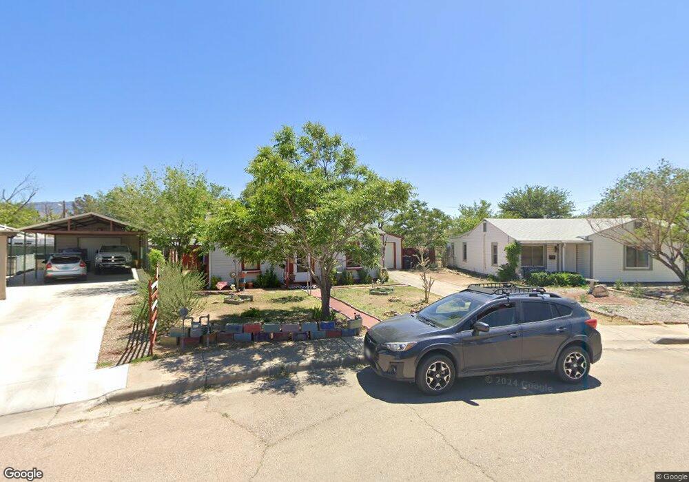
512 Linda Vista Dr Alamogordo, NM 88310
Estimated Value: $134,335 - $189,000
3
Beds
2
Baths
1,472
Sq Ft
$111/Sq Ft
Est. Value
About This Home
This home is located at 512 Linda Vista Dr, Alamogordo, NM 88310 and is currently estimated at $163,334, approximately $110 per square foot. 512 Linda Vista Dr is a home located in Otero County with nearby schools including North Elementary School, Yucca Elementary School, and Chaparral Middle School.
Ownership History
Date
Name
Owned For
Owner Type
Purchase Details
Closed on
Nov 16, 2022
Sold by
Lasalle Theodore J and Lasalle Duwanna
Bought by
Lasalle Theodore J and Lasalle Duwana
Current Estimated Value
Home Financials for this Owner
Home Financials are based on the most recent Mortgage that was taken out on this home.
Original Mortgage
$78,000
Outstanding Balance
$61,066
Interest Rate
6.94%
Mortgage Type
New Conventional
Estimated Equity
$102,268
Create a Home Valuation Report for This Property
The Home Valuation Report is an in-depth analysis detailing your home's value as well as a comparison with similar homes in the area
Home Values in the Area
Average Home Value in this Area
Purchase History
| Date | Buyer | Sale Price | Title Company |
|---|---|---|---|
| Lasalle Theodore J | -- | -- |
Source: Public Records
Mortgage History
| Date | Status | Borrower | Loan Amount |
|---|---|---|---|
| Open | Lasalle Theodore J | $78,000 |
Source: Public Records
Tax History Compared to Growth
Tax History
| Year | Tax Paid | Tax Assessment Tax Assessment Total Assessment is a certain percentage of the fair market value that is determined by local assessors to be the total taxable value of land and additions on the property. | Land | Improvement |
|---|---|---|---|---|
| 2025 | $487 | $25,926 | $3,148 | $22,778 |
| 2024 | $487 | $25,171 | $3,095 | $22,076 |
| 2023 | $477 | $24,438 | $3,046 | $21,392 |
| 2022 | $461 | $23,727 | $2,989 | $20,738 |
| 2021 | $449 | $23,036 | $2,989 | $20,047 |
| 2020 | $449 | $23,036 | $2,989 | $20,047 |
| 2019 | $440 | $22,584 | $2,930 | $19,654 |
| 2018 | $426 | $22,360 | $2,901 | $19,457 |
| 2017 | $389 | $21,922 | $2,844 | $19,076 |
| 2016 | $376 | $21,492 | $0 | $0 |
| 2015 | $366 | $21,071 | $0 | $0 |
| 2014 | -- | $20,657 | $2,680 | $17,977 |
Source: Public Records
Map
Nearby Homes
- 601 Lovers Ln
- 607 Dewey Ln
- 607 E 16th St
- 1800 Alaska Ave
- 717 Arnold Ln
- 1605 Hawaii Ave
- 1603 Hawaii Ave
- 1640 N White Sands Blvd
- 1650 N White Sands Blvd
- 1522 New York Ave
- 512 15th St
- 1419 Ohio Ave
- 819 15th St
- 1023 E 16th St
- 1406 New York Ave
- 1313 Ohio Ave
- 1304 Dewey Ln
- 2800 Eddy Dr Unit 7
- 2600 Eddy Dr Unit 4
- 300 24th St
- 510 Linda Vista Dr
- 514 Linda Vista Dr
- 511 Catalina Ln
- 515 Catalina Ln
- 508 Linda Vista Dr
- 516 Linda Vista Dr
- 509 Catalina Ln
- 511 Linda Vista Dr
- 517 Catalina Ln
- 518 Linda Vista Dr
- 506 Linda Vista Dr
- 507 Catalina Ln
- 509 Linda Vista Dr
- 521 Linda Vista Dr
- 520 Linda Vista Dr
- 600 Montlake Terrace
- 507 Linda Vista Dr
- 504 Linda Vista Dr
- 601 Montlake Terrace
- 510 Catalina Ln