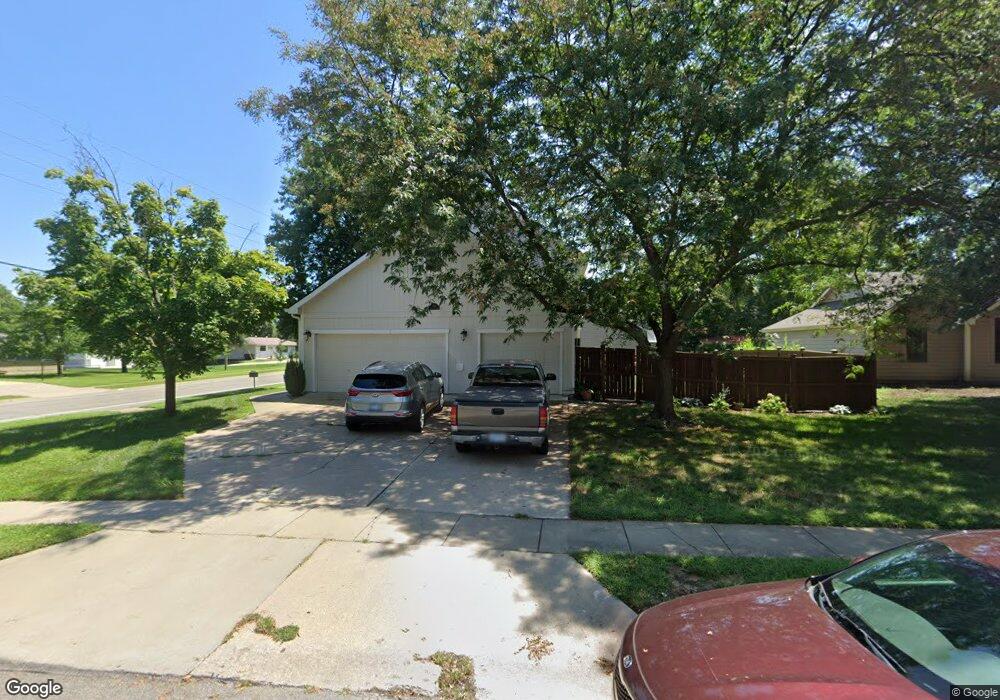
512 Lone Tree Rd Lawrence, KS 66044
Estimated Value: $361,966 - $414,000
4
Beds
3
Baths
2,237
Sq Ft
$169/Sq Ft
Est. Value
About This Home
This home is located at 512 Lone Tree Rd, Lawrence, KS 66044 and is currently estimated at $377,742, approximately $168 per square foot. 512 Lone Tree Rd is a home located in Douglas County with nearby schools including Deerfield Elementary School, West Middle School, and Lawrence Free State High School.
Ownership History
Date
Name
Owned For
Owner Type
Purchase Details
Closed on
Aug 6, 2008
Sold by
Lovejoy Clifford L and Lovejoy Deanna D
Bought by
Bunting Gary L and Bunting Theresa M
Current Estimated Value
Home Financials for this Owner
Home Financials are based on the most recent Mortgage that was taken out on this home.
Original Mortgage
$164,825
Outstanding Balance
$108,444
Interest Rate
6.38%
Mortgage Type
Purchase Money Mortgage
Estimated Equity
$269,298
Create a Home Valuation Report for This Property
The Home Valuation Report is an in-depth analysis detailing your home's value as well as a comparison with similar homes in the area
Purchase History
| Date | Buyer | Sale Price | Title Company |
|---|---|---|---|
| Bunting Gary L | -- | Kansas Secured Title |
Source: Public Records
Mortgage History
| Date | Status | Borrower | Loan Amount |
|---|---|---|---|
| Open | Bunting Gary L | $164,825 |
Source: Public Records
Tax History
| Year | Tax Paid | Tax Assessment Tax Assessment Total Assessment is a certain percentage of the fair market value that is determined by local assessors to be the total taxable value of land and additions on the property. | Land | Improvement |
|---|---|---|---|---|
| 2025 | $5,286 | $42,573 | $8,050 | $34,523 |
| 2024 | $5,014 | $40,423 | $7,475 | $32,948 |
| 2023 | $4,870 | $37,881 | $6,900 | $30,981 |
| 2022 | $4,378 | $33,868 | $4,600 | $29,268 |
| 2021 | $3,897 | $29,199 | $4,368 | $24,831 |
| 2020 | $3,593 | $27,083 | $4,368 | $22,715 |
| 2019 | $3,261 | $24,633 | $3,798 | $20,835 |
| 2018 | $2,792 | $20,988 | $3,571 | $17,417 |
| 2017 | $2,827 | $21,011 | $3,571 | $17,440 |
| 2016 | $2,638 | $20,493 | $4,028 | $16,465 |
| 2015 | -- | $19,113 | $3,222 | $15,891 |
| 2014 | -- | $19,113 | $3,222 | $15,891 |
Source: Public Records
Map
Nearby Homes
- 505 Shoal Ln
- 508 N Rebecca Ln
- 1328 N 1770 Rd
- 1425 W Riverside Dr
- 1204 Sunchase Dr
- 255 N Michigan St Unit 56
- 255 N Michigan St Unit Bdg 11- Apt 56
- 255 N Michigan St Unit 77
- 2404 Stowe Dr
- 2501 Alister Dr
- 540 Bently Dr
- 539 Bently Dr
- 3004 Bently Ct
- 515 McDonald Dr
- 1916 W 3rd St
- 506 Regents St
- 238 Michigan St
- 1517 W 3rd St
- 1515 W 3rd St
- 306 Northwood Ln
- 512 Lone Tree Dr
- 508 Lone Tree Rd
- 1909 River Ridge Rd
- 504 Lone Tree Rd
- 513 Lone Tree Rd
- 1905 River Ridge Rd
- 1312 N 1750 Rd
- 1912 Golden Rain Dr
- 509 Lone Tree Rd
- 509 Lone Tree Dr
- 500 Lone Tree Rd
- 1908 Golden Rain Dr
- 500 Lone Tree Dr
- 1753 E 1310 Rd
- 505 Lone Tree Rd
- 2011 River Ridge Rd Unit B
- 2011 River Ridge Rd Unit A
- 2011 River Ridge Rd Unit C
- 513 Shoal Ln
- 509 Shoal Ln
Your Personal Tour Guide
Ask me questions while you tour the home.