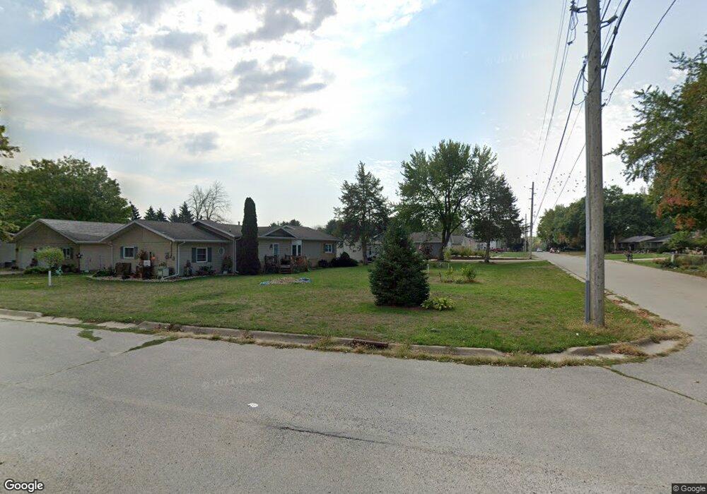
512 N Public Rd Shell Rock, IA 50670
Estimated Value: $122,000 - $194,000
2
Beds
2
Baths
1,369
Sq Ft
$112/Sq Ft
Est. Value
About This Home
This home is located at 512 N Public Rd, Shell Rock, IA 50670 and is currently estimated at $153,146, approximately $111 per square foot. 512 N Public Rd is a home located in Butler County with nearby schools including Waverly-Shell Rock Senior High School.
Ownership History
Date
Name
Owned For
Owner Type
Purchase Details
Closed on
Aug 29, 2023
Sold by
Wentworth Patricia E
Bought by
Wentworth Steven R
Current Estimated Value
Purchase Details
Closed on
Jul 19, 2013
Sold by
Kleckner Bambi L
Bought by
Wentworth Steven R
Home Financials for this Owner
Home Financials are based on the most recent Mortgage that was taken out on this home.
Original Mortgage
$82,346
Interest Rate
4.49%
Mortgage Type
New Conventional
Create a Home Valuation Report for This Property
The Home Valuation Report is an in-depth analysis detailing your home's value as well as a comparison with similar homes in the area
Home Values in the Area
Average Home Value in this Area
Purchase History
| Date | Buyer | Sale Price | Title Company |
|---|---|---|---|
| Wentworth Steven R | -- | None Listed On Document | |
| Wentworth Steven R | $80,000 | Title Services Corporation |
Source: Public Records
Mortgage History
| Date | Status | Borrower | Loan Amount |
|---|---|---|---|
| Previous Owner | Wentworth Steven R | $82,346 |
Source: Public Records
Tax History Compared to Growth
Tax History
| Year | Tax Paid | Tax Assessment Tax Assessment Total Assessment is a certain percentage of the fair market value that is determined by local assessors to be the total taxable value of land and additions on the property. | Land | Improvement |
|---|---|---|---|---|
| 2024 | $1,960 | $120,110 | $15,590 | $104,520 |
| 2023 | $1,774 | $120,110 | $15,590 | $104,520 |
| 2022 | $1,686 | $98,610 | $15,590 | $83,020 |
| 2021 | $1,590 | $98,610 | $15,590 | $83,020 |
| 2020 | $1,590 | $89,510 | $15,590 | $73,920 |
| 2019 | $1,504 | $83,450 | $0 | $0 |
| 2018 | $1,476 | $83,450 | $0 | $0 |
| 2017 | $1,476 | $83,450 | $0 | $0 |
| 2016 | $1,520 | $79,950 | $0 | $0 |
| 2015 | $1,520 | $79,950 | $0 | $0 |
| 2014 | $1,546 | $79,950 | $0 | $0 |
Source: Public Records
Map
Nearby Homes
- 403 E Jackson St
- 327 E Mindy Dr
- 214 Elliot Ave
- 220 Elliot Ave
- 1124 Lozmar Ln
- 1125 Lozmar Ln
- 1130 Lozmar Ln
- 218 Harvest Ln
- 21164 Woodridge Ln
- 21250 Woodridge Ln
- 21146 Woodridge Ln
- 21161 Woodridge Ln
- 21273 Woodridge Ln
- 1065 230th St
- 21269 Woodridge Ln
- 21165 Woodridge Ln
- 21109 Woodridge Ln
- 2425 Bishop Ave
- 2412 W Bremer Ave
- 304 Park 26th St NW
- 436 N Public Rd
- 518 N Public Rd
- 410 E Barbara St
- 430 N Public Rd
- 416 E Barbara St
- 505 N Public Rd
- 522 N Williams St
- 522 N Williams St
- 435 N Plainview St
- 608 N Public Rd
- 424 E Barbara St
- 420 N Public Rd
- 409 E Barbara St
- 425 N Public Rd
- 508 N Williams St
- 604 N Williams St
- 415 E Barbara St
- 504 E Barbara St
- 502 N Williams St
- 415 N Public Rd