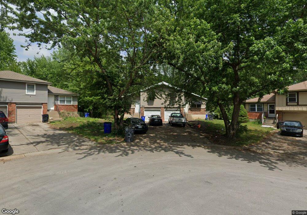
512 N Troost St Olathe, KS 66061
Estimated Value: $278,000 - $334,000
4
Beds
2
Baths
1,680
Sq Ft
$182/Sq Ft
Est. Value
About This Home
This home is located at 512 N Troost St, Olathe, KS 66061 and is currently estimated at $305,844, approximately $182 per square foot. 512 N Troost St is a home located in Johnson County with nearby schools including Fairview Elementary School, Summit Trail Middle School, and Olathe Northwest High School.
Ownership History
Date
Name
Owned For
Owner Type
Purchase Details
Closed on
Aug 12, 2016
Sold by
Padmavati & Tara Llc
Bought by
Siddha & Rstuol Llc
Current Estimated Value
Purchase Details
Closed on
Jul 13, 2010
Sold by
Shah Surekha
Bought by
Padmavati & Tara Llc
Purchase Details
Closed on
Sep 18, 2003
Sold by
King Sandra A
Bought by
Shah Surekha
Home Financials for this Owner
Home Financials are based on the most recent Mortgage that was taken out on this home.
Original Mortgage
$105,600
Interest Rate
6.25%
Mortgage Type
Purchase Money Mortgage
Create a Home Valuation Report for This Property
The Home Valuation Report is an in-depth analysis detailing your home's value as well as a comparison with similar homes in the area
Home Values in the Area
Average Home Value in this Area
Purchase History
| Date | Buyer | Sale Price | Title Company |
|---|---|---|---|
| Siddha & Rstuol Llc | -- | None Available | |
| Padmavati & Tara Llc | -- | None Available | |
| Shah Surekha | -- | Midwest Title Company |
Source: Public Records
Mortgage History
| Date | Status | Borrower | Loan Amount |
|---|---|---|---|
| Previous Owner | Shah Surekha | $105,600 |
Source: Public Records
Tax History Compared to Growth
Tax History
| Year | Tax Paid | Tax Assessment Tax Assessment Total Assessment is a certain percentage of the fair market value that is determined by local assessors to be the total taxable value of land and additions on the property. | Land | Improvement |
|---|---|---|---|---|
| 2024 | $2,467 | $22,666 | $4,671 | $17,995 |
| 2023 | $2,429 | $21,585 | $4,248 | $17,337 |
| 2022 | $2,220 | $19,217 | $3,861 | $15,356 |
| 2021 | $2,207 | $18,021 | $3,861 | $14,160 |
| 2020 | $2,098 | $16,997 | $3,356 | $13,641 |
| 2019 | $2,188 | $17,584 | $3,356 | $14,228 |
Source: Public Records
Map
Nearby Homes
- 612 N Logan St
- 619 N Walnut St
- 631 N Willie St
- 1012 N Troost Ave
- 955 N Parker Terrace
- 397 W Johnston St
- 1002 N Parker Terrace
- 507 W Park St
- 573 W Loula St
- 540 W Northview St
- 1549 W Mulberry St
- 1425 W Poplar St
- 11588 S Houston St
- 600 W Elm St
- 12525 S Lincoln St
- 1545 W Park St
- 500 E Johnston St
- 336 E Park St
- 109 E Cedar St
- 501 E Spruce St
- 516 N Troost St
- 508 N Troost St
- 507 N Monroe St
- 511 N Monroe St
- 505 N Monroe St
- 505 N Monroe St
- 504 N Troost St
- 517 N Troost St
- 513 N Monroe St
- 503 N Monroe St
- 513 N Troost St
- 509 N Troost St
- 511 N Troost St
- 500 N Troost St
- 501 N Monroe St
- 501 N Monroe St
- 501 N Monroe St Unit A
- 501 N Monroe St
- 514 N Monroe Cir
- 520 N Monroe St