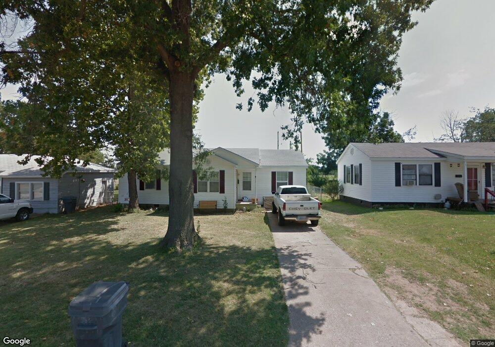
512 Oak St Ardmore, OK 73401
Estimated Value: $112,000 - $138,000
3
Beds
2
Baths
1,130
Sq Ft
$108/Sq Ft
Est. Value
About This Home
This home is located at 512 Oak St, Ardmore, OK 73401 and is currently estimated at $122,209, approximately $108 per square foot. 512 Oak St is a home located in Carter County with nearby schools including Charles Evans Elementary School, Ardmore Middle School, and Ardmore High School.
Ownership History
Date
Name
Owned For
Owner Type
Purchase Details
Closed on
Feb 24, 2026
Sold by
Mccarthy Sean
Bought by
Mccarthy Joanna M
Current Estimated Value
Purchase Details
Closed on
Oct 10, 2023
Sold by
Williford Dink Ellis
Bought by
Williford Todd Edward and Williford Steve Lee
Purchase Details
Closed on
Jul 28, 2023
Sold by
Lucille Chism Bates Testamentary Trust
Bought by
Mccarthy John V
Purchase Details
Closed on
Feb 17, 2010
Sold by
Kerley Hollis D and Kerley Wanda K
Bought by
Mccarthy Sean
Home Financials for this Owner
Home Financials are based on the most recent Mortgage that was taken out on this home.
Original Mortgage
$66,397
Interest Rate
5.11%
Mortgage Type
New Conventional
Purchase Details
Closed on
Nov 20, 1999
Sold by
Meeks Mary Ellen
Bought by
Kerley Hollis and Kerley Lloyd
Create a Home Valuation Report for This Property
The Home Valuation Report is an in-depth analysis detailing your home's value as well as a comparison with similar homes in the area
Purchase History
| Date | Buyer | Sale Price | Title Company |
|---|---|---|---|
| Mccarthy Joanna M | -- | None Listed On Document | |
| Williford Todd Edward | -- | None Listed On Document | |
| Mccarthy John V | -- | None Listed On Document | |
| Mccarthy Sean | $65,000 | -- | |
| Kerley Hollis | $6,500 | -- |
Source: Public Records
Mortgage History
| Date | Status | Borrower | Loan Amount |
|---|---|---|---|
| Previous Owner | Mccarthy Sean | $66,397 |
Source: Public Records
Tax History
| Year | Tax Paid | Tax Assessment Tax Assessment Total Assessment is a certain percentage of the fair market value that is determined by local assessors to be the total taxable value of land and additions on the property. | Land | Improvement |
|---|---|---|---|---|
| 2025 | $1,001 | $10,031 | $1,200 | $8,831 |
| 2024 | $1,001 | $9,635 | $1,045 | $8,590 |
| 2023 | $962 | $9,176 | $1,000 | $8,176 |
| 2022 | $835 | $8,739 | $957 | $7,782 |
| 2021 | $840 | $8,324 | $892 | $7,432 |
| 2020 | $788 | $7,927 | $720 | $7,207 |
| 2019 | $733 | $7,550 | $720 | $6,830 |
| 2018 | $710 | $7,190 | $720 | $6,470 |
| 2017 | $626 | $6,848 | $720 | $6,128 |
| 2016 | $608 | $6,522 | $720 | $5,802 |
| 2015 | $479 | $6,240 | $368 | $5,872 |
| 2014 | $533 | $5,956 | $368 | $5,588 |
Source: Public Records
Map
Nearby Homes
- 525 Cottonwood St
- 1908 Choctaw Ave
- 1817 Comanche St
- 434 Locust St NW
- 403 Oak St
- 321 Ash St
- 414 Locust St
- 1740 Tiverton St
- 707 Maxwell St NW
- 1737 Winchester St
- 723 Maxwell St NW
- 1903 Robison St
- 912 Maxwell St NW
- 0 15th Unit 2546881
- 0 Hometown Rd Unit 2607656
- 00 N Rockford Rd
- 815 Campbell St
- 923 Maxwell St NW
- 11 Turner St
- 806 15th Ave NW
Your Personal Tour Guide
Ask me questions while you tour the home.