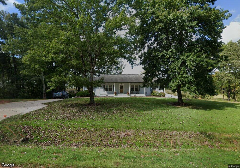
512 Olive Branch Rd Durham, NC 27703
Eastern Durham NeighborhoodEstimated Value: $457,000 - $587,655
3
Beds
3
Baths
3,095
Sq Ft
$161/Sq Ft
Est. Value
About This Home
This home is located at 512 Olive Branch Rd, Durham, NC 27703 and is currently estimated at $497,414, approximately $160 per square foot. 512 Olive Branch Rd is a home located in Durham County with nearby schools including Spring Valley Elementary School, John W Neal Middle School, and Southern School of Energy & Sustainability.
Ownership History
Date
Name
Owned For
Owner Type
Purchase Details
Closed on
Oct 11, 2024
Sold by
Jeffrey Brown Collin and Jeffrey Aguilera M
Bought by
Jc Construction Llc
Current Estimated Value
Purchase Details
Closed on
Feb 11, 2016
Sold by
Ray Elizabeth George Estat
Bought by
Brown Collin Jeffrey and Sarahi Aguilera Brown M
Home Financials for this Owner
Home Financials are based on the most recent Mortgage that was taken out on this home.
Original Mortgage
$173,794
Interest Rate
3.75%
Mortgage Type
FHA
Create a Home Valuation Report for This Property
The Home Valuation Report is an in-depth analysis detailing your home's value as well as a comparison with similar homes in the area
Home Values in the Area
Average Home Value in this Area
Purchase History
| Date | Buyer | Sale Price | Title Company |
|---|---|---|---|
| Jc Construction Llc | $92,000 | None Listed On Document | |
| Brown Collin Jeffrey | -- | -- | |
| Brown Collin Jeffrey | $177,000 | -- |
Source: Public Records
Mortgage History
| Date | Status | Borrower | Loan Amount |
|---|---|---|---|
| Previous Owner | Brown Collin Jeffrey | $173,794 |
Source: Public Records
Tax History Compared to Growth
Tax History
| Year | Tax Paid | Tax Assessment Tax Assessment Total Assessment is a certain percentage of the fair market value that is determined by local assessors to be the total taxable value of land and additions on the property. | Land | Improvement |
|---|---|---|---|---|
| 2025 | $2,845 | $403,088 | $128,625 | $274,463 |
| 2024 | $2,440 | $235,924 | $60,025 | $175,899 |
| 2023 | $2,350 | $235,924 | $60,025 | $175,899 |
| 2022 | $2,282 | $235,924 | $60,025 | $175,899 |
| 2021 | $2,069 | $235,924 | $60,025 | $175,899 |
| 2020 | $2,022 | $235,924 | $60,025 | $175,899 |
| 2019 | $1,999 | $235,924 | $60,025 | $175,899 |
| 2018 | $1,885 | $204,269 | $44,010 | $160,259 |
| 2017 | $1,824 | $204,269 | $44,010 | $160,259 |
| 2016 | $1,768 | $226,870 | $44,010 | $182,860 |
| 2015 | $2,185 | $221,635 | $30,108 | $191,527 |
| 2014 | $2,196 | $221,635 | $30,108 | $191,527 |
Source: Public Records
Map
Nearby Homes
- 2020 Rockface Way
- 1124 Lily Loch Way
- 1417 Underbrush Dr
- 339 Olive Branch Rd
- 309 Rondelay Dr
- 633 Conover Rd
- 634 Conover Rd
- 631 Conover Rd
- 629 Conover Rd
- 641 Conover Rd Unit B
- 637 Conover Rd Unit B
- 641 Conover Rd Unit A
- 637 Conover Rd Unit A
- 639 Conover Rd Unit A
- 639 Conover Rd Unit B
- 635 Conover Rd Unit A
- 635 Conover Rd Unit B
- 5002 Reader Way
- 4025 Kidd Place
- 4030 Kidd Place
- 508 Olive Branch Rd
- 1608 Underbrush Dr
- 2018 Rockface Way
- 504 Olive Branch Rd
- 2022 Rockface Way
- 2024 Rockface Way
- 515 Olive Branch Rd
- 509 Olive Branch Rd
- 519 Olive Branch Rd
- 2019 Rockface Way
- 505 Olive Branch Rd
- 1552 Underbrush Dr
- 523 Olive Branch Rd
- 2025 Rockface Way
- 501 Olive Branch Rd
- 2102 Rockface Way
- 2101 Rockface Way
- 1050 Lily Loch Way
- 2103 Rockface Way
- 532 Olive Branch Rd