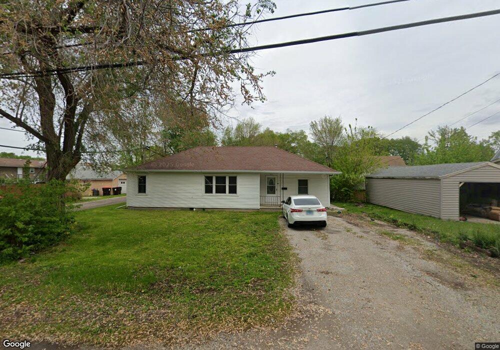
512 Omaha Ave Lincoln, IL 62656
Estimated Value: $102,194 - $153,000
--
Bed
--
Bath
1,158
Sq Ft
$107/Sq Ft
Est. Value
About This Home
This home is located at 512 Omaha Ave, Lincoln, IL 62656 and is currently estimated at $123,549, approximately $106 per square foot. 512 Omaha Ave is a home located in Logan County with nearby schools including Washington-Monroe Elementary School, Adams Elementary School, and Lincoln Junior High School.
Ownership History
Date
Name
Owned For
Owner Type
Purchase Details
Closed on
Oct 5, 2010
Sold by
State Bank Of Lincoln
Bought by
Vinyard Stephen and Vinyard Mary Denise
Current Estimated Value
Home Financials for this Owner
Home Financials are based on the most recent Mortgage that was taken out on this home.
Original Mortgage
$30,000
Outstanding Balance
$19,746
Interest Rate
4.3%
Mortgage Type
Future Advance Clause Open End Mortgage
Estimated Equity
$103,803
Purchase Details
Closed on
Aug 2, 2010
Sold by
Sheriff Of Logan County
Bought by
The State Bank Of Lincoln
Create a Home Valuation Report for This Property
The Home Valuation Report is an in-depth analysis detailing your home's value as well as a comparison with similar homes in the area
Home Values in the Area
Average Home Value in this Area
Purchase History
| Date | Buyer | Sale Price | Title Company |
|---|---|---|---|
| Vinyard Stephen | $23,500 | -- | |
| The State Bank Of Lincoln | -- | -- |
Source: Public Records
Mortgage History
| Date | Status | Borrower | Loan Amount |
|---|---|---|---|
| Open | Vinyard Stephen | $30,000 |
Source: Public Records
Tax History Compared to Growth
Tax History
| Year | Tax Paid | Tax Assessment Tax Assessment Total Assessment is a certain percentage of the fair market value that is determined by local assessors to be the total taxable value of land and additions on the property. | Land | Improvement |
|---|---|---|---|---|
| 2024 | $2,219 | $30,210 | $4,140 | $26,070 |
| 2023 | $2,078 | $27,970 | $3,830 | $24,140 |
| 2022 | $1,987 | $26,140 | $3,580 | $22,560 |
| 2021 | $1,891 | $25,100 | $3,440 | $21,660 |
| 2020 | $1,858 | $24,730 | $3,390 | $21,340 |
| 2019 | $1,807 | $24,240 | $3,320 | $20,920 |
| 2018 | $1,781 | $23,760 | $3,250 | $20,510 |
| 2017 | $1,770 | $23,760 | $3,250 | $20,510 |
| 2016 | $1,724 | $23,740 | $3,250 | $20,490 |
| 2015 | $1,623 | $22,810 | $3,150 | $19,660 |
| 2014 | $1,623 | $22,810 | $3,150 | $19,660 |
| 2013 | $1,623 | $21,650 | $2,990 | $18,660 |
| 2012 | $1,623 | $22,040 | $3,040 | $19,000 |
Source: Public Records
Map
Nearby Homes
- 1019 N Mclean St
- 1208 N Kankakee St
- 1503 N Kankakee St
- 1107 N Kankakee St
- 311 Davenport St
- 1204 N Ottawa St
- 180 Regent St
- 1431 N Ottawa St
- 145 Half Moon St
- 102 Crestwood Dr
- 103 Crestwood Dr
- 915 Peoria St
- 620 Tremont St
- 6 Meadow Ln
- 330 Water St
- 1225 Delavan St
- 1227 Delavan St
- 1624 Delavan St
- 113 N Kickapoo St
- 1354 Airport Rd
- 1311 N Mclean St
- 1307 N Mclean St
- 1315 N Mclean St
- 1304 N Kickapoo St
- 511 Omaha Ave
- 1227 N Mclean St
- 1317 N Mclean St
- 507 Omaha Ave
- 1302 N Kickapoo St
- 1316 N Kickapoo St
- 1308 N Kickapoo St
- 1312 N Kickapoo St
- 1223 N Mclean St
- 600 Omaha Ave
- 1228 N Kickapoo St
- 1310 N Mclean St
- 1224 N Kickapoo St
- 1321 N Mclean St
- 1326 1/2 N Kickapoo St
- 617 Omaha Ave