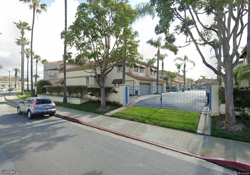
512 Pierside Cir Huntington Beach, CA 92648
Downtown Huntington Beach NeighborhoodEstimated Value: $1,940,574 - $2,201,000
3
Beds
3
Baths
2,476
Sq Ft
$844/Sq Ft
Est. Value
About This Home
This home is located at 512 Pierside Cir, Huntington Beach, CA 92648 and is currently estimated at $2,090,644, approximately $844 per square foot. 512 Pierside Cir is a home located in Orange County with nearby schools including Agnes L. Smith Elementary, Ethel Dwyer Middle, and Huntington Beach High School.
Ownership History
Date
Name
Owned For
Owner Type
Purchase Details
Closed on
Aug 23, 2023
Sold by
Dispalatro Living Trust
Bought by
Dispalatro Living Trust and Dispalatro
Current Estimated Value
Purchase Details
Closed on
Aug 19, 2016
Sold by
Dispalatro Frank
Bought by
Dispalatro Frank and Dispalatro Living Trust
Purchase Details
Closed on
Nov 21, 2012
Sold by
Dispalatro Frank
Bought by
Dispalatro Frank and The Dispalatro Living Trust
Create a Home Valuation Report for This Property
The Home Valuation Report is an in-depth analysis detailing your home's value as well as a comparison with similar homes in the area
Home Values in the Area
Average Home Value in this Area
Purchase History
| Date | Buyer | Sale Price | Title Company |
|---|---|---|---|
| Dispalatro Living Trust | -- | None Listed On Document | |
| Dispalatro Frank | -- | None Available | |
| Dispalatro Frank | -- | None Available |
Source: Public Records
Tax History Compared to Growth
Tax History
| Year | Tax Paid | Tax Assessment Tax Assessment Total Assessment is a certain percentage of the fair market value that is determined by local assessors to be the total taxable value of land and additions on the property. | Land | Improvement |
|---|---|---|---|---|
| 2025 | $7,409 | $649,150 | $319,675 | $329,475 |
| 2024 | $7,409 | $636,422 | $313,407 | $323,015 |
| 2023 | $7,243 | $623,944 | $307,262 | $316,682 |
| 2022 | $7,053 | $611,710 | $301,237 | $310,473 |
| 2021 | $6,923 | $599,716 | $295,330 | $304,386 |
| 2020 | $6,878 | $593,567 | $292,302 | $301,265 |
| 2019 | $6,797 | $581,929 | $286,571 | $295,358 |
| 2018 | $6,693 | $570,519 | $280,952 | $289,567 |
| 2017 | $6,604 | $559,333 | $275,443 | $283,890 |
| 2016 | $6,313 | $548,366 | $270,042 | $278,324 |
| 2015 | $6,253 | $540,130 | $265,986 | $274,144 |
| 2014 | $6,122 | $529,550 | $260,776 | $268,774 |
Source: Public Records
Map
Nearby Homes
- 316 6th St
- 513 Pecan Ave
- 308 5th St
- 414 Main St Unit 400
- 414 Main St Unit 330
- 414 Main St Unit 430
- 414 Main St Unit 200
- 414 Main St Unit 420
- 309 8th St
- 430 Lake St Unit 304
- 430 Lake St Unit 204
- 517 Walnut Ave
- 400 Lake St
- 214 Walnut Ave
- 621 8th St
- 200 Pacific Coast Hwy Unit 130
- 427 10th St
- 111 Alabama St
- 219 1st St
- 221 10th St
- 508 Pierside Cir
- 514 Pierside Cir
- 506 Pierside Cir
- 504 Pierside Cir
- 513 Pierside Cir
- 515 Pierside Cir
- 511 Pierside Cir
- 507 Pierside Cir
- 415 Townsquare Ln
- 415 Townsquare Ln Unit 108
- 415 Townsquare Ln Unit 302
- 415 Townsquare Ln Unit 206
- 415 Townsquare Ln Unit 315
- 415 Townsquare Ln Unit 123
- 415 Townsquare Ln Unit 225
- 415 Townsquare Ln Unit 319
- 415 Townsquare Ln Unit 215
- 415 Townsquare Ln Unit 110
- 415 Townsquare Ln Unit 218
- 415 Townsquare Ln Unit 308