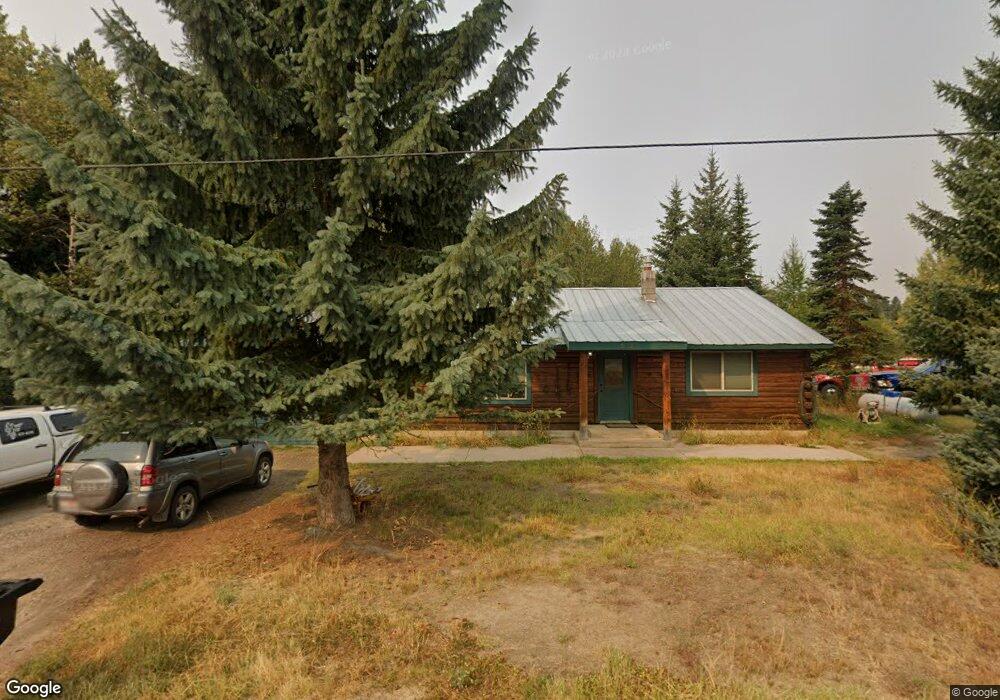
512 Rowland St McCall, ID 83638
Estimated Value: $603,285 - $797,000
2
Beds
2
Baths
1,160
Sq Ft
$606/Sq Ft
Est. Value
About This Home
This home is located at 512 Rowland St, McCall, ID 83638 and is currently estimated at $702,571, approximately $605 per square foot. 512 Rowland St is a home located in Valley County with nearby schools including McCall-Donnelly High School, Mountain Life Education, and McCall Adventist Christian School.
Ownership History
Date
Name
Owned For
Owner Type
Purchase Details
Closed on
Jun 17, 2019
Sold by
Rowland Barry and Rowland Kathy
Bought by
Amar Alexander Thomas and Amar Alexander T
Current Estimated Value
Home Financials for this Owner
Home Financials are based on the most recent Mortgage that was taken out on this home.
Original Mortgage
$184,000
Outstanding Balance
$160,429
Interest Rate
4.1%
Mortgage Type
New Conventional
Estimated Equity
$542,142
Purchase Details
Closed on
Mar 1, 2005
Sold by
Barke Frederick J and Barke Fredrick J
Bought by
Rowland Barry and Rowland Kathy
Create a Home Valuation Report for This Property
The Home Valuation Report is an in-depth analysis detailing your home's value as well as a comparison with similar homes in the area
Home Values in the Area
Average Home Value in this Area
Purchase History
| Date | Buyer | Sale Price | Title Company |
|---|---|---|---|
| Amar Alexander Thomas | -- | Amerititle Cascade | |
| Rowland Barry | -- | -- |
Source: Public Records
Mortgage History
| Date | Status | Borrower | Loan Amount |
|---|---|---|---|
| Open | Amar Alexander Thomas | $184,000 |
Source: Public Records
Tax History
| Year | Tax Paid | Tax Assessment Tax Assessment Total Assessment is a certain percentage of the fair market value that is determined by local assessors to be the total taxable value of land and additions on the property. | Land | Improvement |
|---|---|---|---|---|
| 2025 | $1,618 | $516,889 | $245,908 | $270,981 |
| 2023 | $1,618 | $507,711 | $258,850 | $248,861 |
| 2022 | $1,784 | $475,706 | $278,791 | $196,915 |
| 2021 | $1,081 | $256,488 | $70,434 | $186,054 |
| 2020 | $1,087 | $217,444 | $83,376 | $134,068 |
| 2019 | $2,175 | $225,570 | $71,681 | $153,889 |
| 2018 | $2,197 | $209,796 | $66,476 | $143,320 |
| 2017 | $2,315 | $207,650 | $66,476 | $141,174 |
| 2016 | $2,158 | $188,663 | $56,614 | $132,049 |
| 2015 | $2,121 | $178,249 | $0 | $0 |
| 2013 | -- | $164,129 | $0 | $0 |
Source: Public Records
Map
Nearby Homes
- 508 River St
- 212 Broken Pine Ln
- 13321 Idaho 55
- 306 Whitetail Dr
- 357 Whitetail Dr
- 136 Whitetail Dr
- TBD Boydstun St
- 1124 Shellworth Cir
- Lot 18 Compass Ln Unit 18
- 326 Sunshine Dr
- 790 Idaho 55
- Lot 12 N Loop Rd Unit 6
- Lot 3 Springer Ct Unit 3
- Lot 5 Springer Ct
- Lot 3 Springer Ct
- Lot 5 Springer Ct Unit 5
- 418 &424 N Verita St
- 1000 Gamble Rd
- 212 Rio Vista Blvd
- 462 Timbercrest Loop
- Unit 4B Rowland St
- Unit 1A Rowland St
- Unit 4A Rowland St
- Unit 3A Rowland St
- Unit 3B Rowland St
- TBD Rowland St Unit 18-24
- TBD Rowland St
- 508 Rowland St
- 1002 Rowland St
- 1002 Rowland St Unit 1-12
- 605 River St
- 703 Grove St
- 701 Grove St
- 705 Grove St Unit 3B
- 705 Grove St
- 707 Grove St Unit 3A
- 707 Grove St
- 505 Rowland St
- 711 Grove St
- 506 Rowland St
Your Personal Tour Guide
Ask me questions while you tour the home.