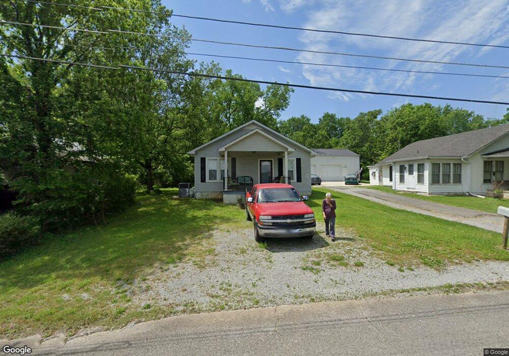
512 Sandusky St Shelbyville, TN 37160
Estimated Value: $126,814 - $185,000
--
Bed
1
Bath
960
Sq Ft
$157/Sq Ft
Est. Value
About This Home
This home is located at 512 Sandusky St, Shelbyville, TN 37160 and is currently estimated at $150,704, approximately $156 per square foot. 512 Sandusky St is a home located in Bedford County with nearby schools including Harris Middle School and Victory Baptist Academy.
Ownership History
Date
Name
Owned For
Owner Type
Purchase Details
Closed on
Aug 31, 2011
Sold by
Sanchez Antonio
Bought by
Sudberry Kerry J and Sudberry Kathy L
Current Estimated Value
Purchase Details
Closed on
May 26, 2004
Sold by
Denby Joseph Lee
Bought by
Sanchez Antonio
Purchase Details
Closed on
Jul 1, 2002
Sold by
American General Finance
Bought by
Denby Joseph L
Home Financials for this Owner
Home Financials are based on the most recent Mortgage that was taken out on this home.
Original Mortgage
$30,000
Interest Rate
6.75%
Purchase Details
Closed on
May 7, 2002
Sold by
Cook Phillip R
Bought by
American Genetral Finl
Home Financials for this Owner
Home Financials are based on the most recent Mortgage that was taken out on this home.
Original Mortgage
$30,000
Interest Rate
6.75%
Purchase Details
Closed on
Jul 8, 1982
Bought by
Cook Phillip Randall
Create a Home Valuation Report for This Property
The Home Valuation Report is an in-depth analysis detailing your home's value as well as a comparison with similar homes in the area
Home Values in the Area
Average Home Value in this Area
Purchase History
| Date | Buyer | Sale Price | Title Company |
|---|---|---|---|
| Sudberry Kerry J | $46,000 | -- | |
| Sanchez Antonio | $41,000 | -- | |
| Denby Joseph L | $30,000 | -- | |
| American Genetral Finl | $44,861 | -- | |
| Cook Phillip Randall | -- | -- |
Source: Public Records
Mortgage History
| Date | Status | Borrower | Loan Amount |
|---|---|---|---|
| Previous Owner | Cook Phillip Randall | $30,000 |
Source: Public Records
Tax History Compared to Growth
Tax History
| Year | Tax Paid | Tax Assessment Tax Assessment Total Assessment is a certain percentage of the fair market value that is determined by local assessors to be the total taxable value of land and additions on the property. | Land | Improvement |
|---|---|---|---|---|
| 2025 | -- | $19,900 | $0 | $0 |
| 2024 | -- | $19,900 | $3,000 | $16,900 |
| 2023 | $295 | $19,900 | $3,000 | $16,900 |
| 2022 | $779 | $19,900 | $3,000 | $16,900 |
| 2021 | $707 | $19,900 | $3,000 | $16,900 |
| 2020 | $603 | $19,900 | $3,000 | $16,900 |
| 2019 | $603 | $13,625 | $2,500 | $11,125 |
| 2018 | $590 | $13,625 | $2,500 | $11,125 |
| 2017 | $590 | $13,625 | $2,500 | $11,125 |
| 2016 | $585 | $13,625 | $2,500 | $11,125 |
| 2015 | $585 | $13,625 | $2,500 | $11,125 |
| 2014 | $538 | $13,721 | $0 | $0 |
Source: Public Records
Map
Nearby Homes
- 527 Deery St
- 713 King Ave
- 464 Whitthorne St
- 714 King Ave
- 724 Alton Ave
- 636 Deery St
- 627 E Lane St
- 631 E Lane St
- 0 E Depot St
- 703 Deery St
- 207 Martha St
- 0 Hilltop Rd Unit RTC2897754
- 0 Hilltop Rd Unit RTC3001632
- 112 Elizabeth St
- 220 Walnut St
- 709 Belmont Ave
- 112 E Cedar St
- 314 Maplewood Dr
- 216 Celebration St
- 211 S Fairoak St