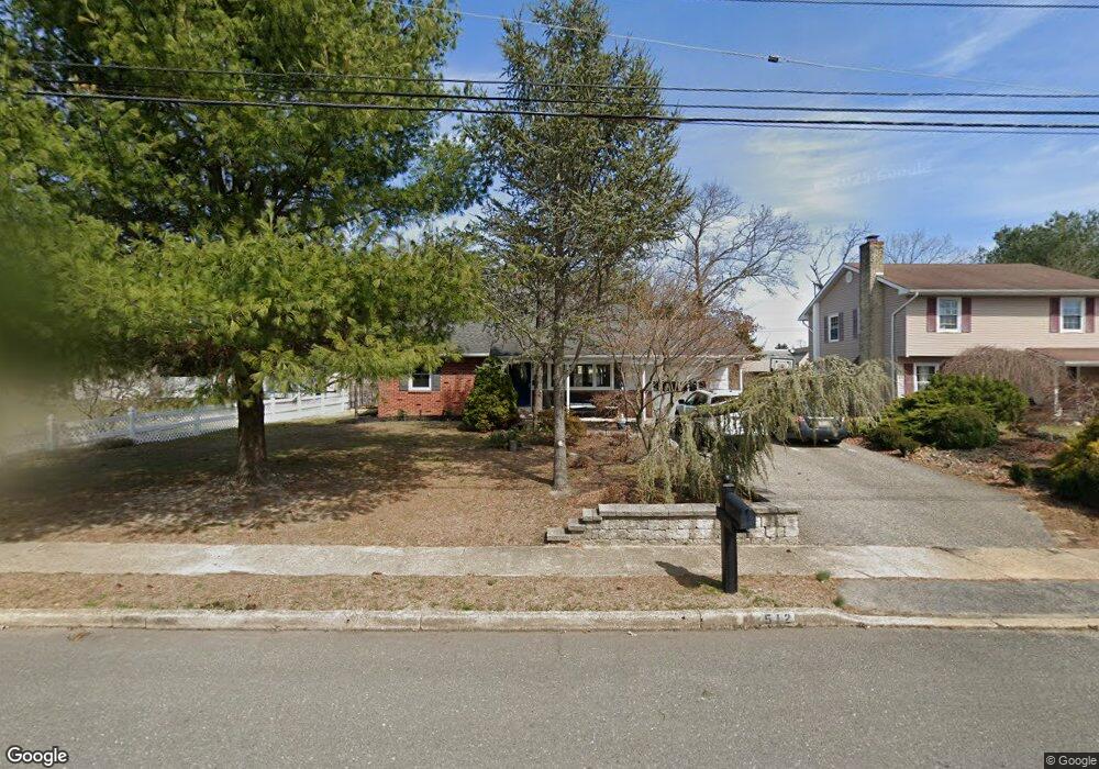
512 Signal Ln Toms River, NJ 08755
Estimated Value: $483,410 - $567,000
3
Beds
2
Baths
2,646
Sq Ft
$203/Sq Ft
Est. Value
About This Home
This home is located at 512 Signal Ln, Toms River, NJ 08755 and is currently estimated at $536,103, approximately $202 per square foot. 512 Signal Ln is a home located in Ocean County with nearby schools including St Joseph Grade School, Ambassador Christian Academy, and Donovan Catholic High School.
Ownership History
Date
Name
Owned For
Owner Type
Purchase Details
Closed on
Jan 20, 1995
Sold by
Tweed John
Bought by
Ponce Jesus and Ponce Susan
Current Estimated Value
Home Financials for this Owner
Home Financials are based on the most recent Mortgage that was taken out on this home.
Original Mortgage
$110,000
Interest Rate
9.13%
Purchase Details
Closed on
Aug 12, 1993
Sold by
Joos Edward J
Bought by
Tweed John L and Tweed Carolyn
Create a Home Valuation Report for This Property
The Home Valuation Report is an in-depth analysis detailing your home's value as well as a comparison with similar homes in the area
Home Values in the Area
Average Home Value in this Area
Purchase History
| Date | Buyer | Sale Price | Title Company |
|---|---|---|---|
| Ponce Jesus | $116,000 | -- | |
| Tweed John L | $54,000 | -- |
Source: Public Records
Mortgage History
| Date | Status | Borrower | Loan Amount |
|---|---|---|---|
| Closed | Ponce Jesus | $110,000 |
Source: Public Records
Tax History Compared to Growth
Tax History
| Year | Tax Paid | Tax Assessment Tax Assessment Total Assessment is a certain percentage of the fair market value that is determined by local assessors to be the total taxable value of land and additions on the property. | Land | Improvement |
|---|---|---|---|---|
| 2025 | $6,701 | $368,000 | $97,000 | $271,000 |
| 2024 | $6,370 | $368,000 | $97,000 | $271,000 |
| 2023 | $6,105 | $368,000 | $97,000 | $271,000 |
| 2022 | $6,105 | $365,800 | $97,000 | $268,800 |
| 2021 | $5,999 | $239,500 | $93,000 | $146,500 |
| 2020 | $5,973 | $239,500 | $93,000 | $146,500 |
| 2019 | $5,714 | $239,500 | $93,000 | $146,500 |
| 2018 | $5,638 | $239,500 | $93,000 | $146,500 |
| 2017 | $5,590 | $239,500 | $93,000 | $146,500 |
| 2016 | $5,444 | $239,500 | $93,000 | $146,500 |
| 2015 | $5,238 | $239,500 | $93,000 | $146,500 |
| 2014 | $4,986 | $239,500 | $93,000 | $146,500 |
Source: Public Records
Map
Nearby Homes
- 17 Ridgewood Dr
- 533 Skylark Dr
- 502 River Terrace
- 7 Oxford Dr
- 35 Southampton Rd
- 424 Colleen Ct
- 34 Cambridge Ct
- 937 Edgebrook Dr N
- 33 Camelot Dr
- 1046 Edgebrook Dr E
- 12 Harley Rd
- 1074 Edgebrook Dr S
- 1086 Edgebrook Dr S
- 59 Sun Valley Rd
- 61 Charlotteville Dr S
- 39 Blue Jay Dr
- 307 Lillian Ln
- 15 Oak Leaf Ln
- 81 Shady Nook Dr
- 15 Brian Ct