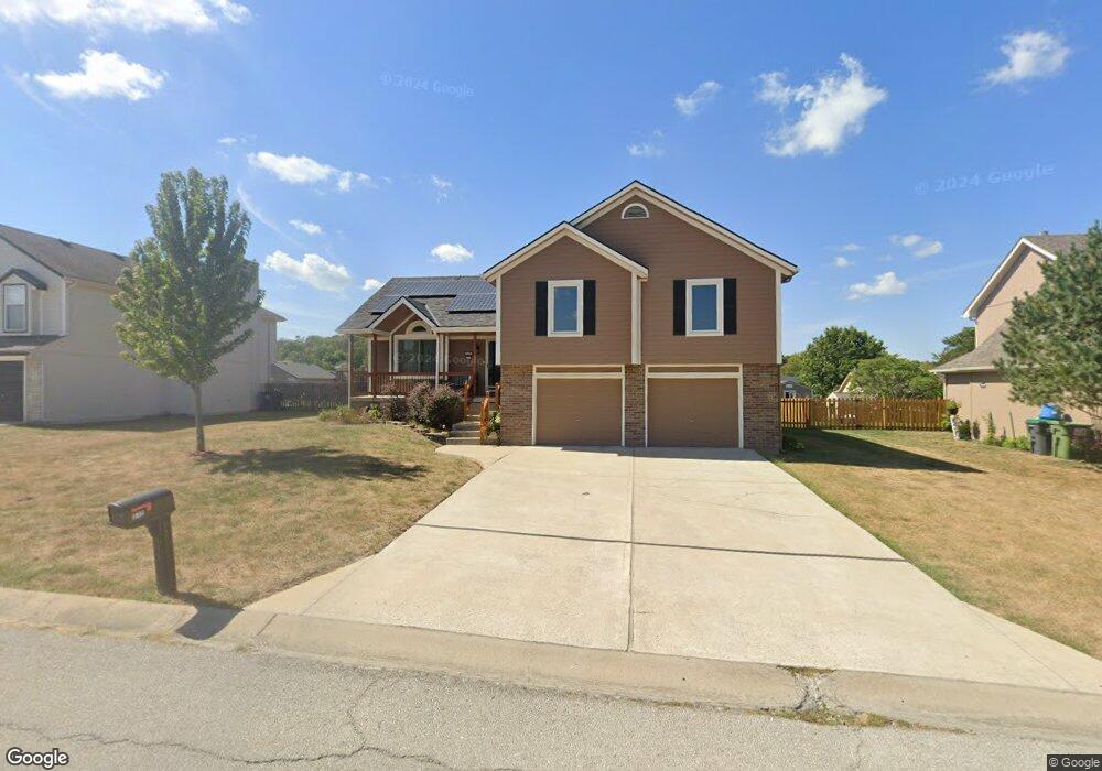
512 SW Graystone Dr Grain Valley, MO 64029
Estimated Value: $315,000 - $361,000
3
Beds
3
Baths
1,998
Sq Ft
$166/Sq Ft
Est. Value
About This Home
This home is located at 512 SW Graystone Dr, Grain Valley, MO 64029 and is currently estimated at $331,265, approximately $165 per square foot. 512 SW Graystone Dr is a home located in Jackson County with nearby schools including Grain Valley High School.
Ownership History
Date
Name
Owned For
Owner Type
Purchase Details
Closed on
Aug 3, 2017
Sold by
Laws Wallace H and Laws Amanda L
Bought by
Laws Wallace H and Laws Amanda L
Current Estimated Value
Purchase Details
Closed on
Jul 7, 1998
Sold by
Hudson Homes Inc
Bought by
Laws Wallace H and Frey Amanda L
Home Financials for this Owner
Home Financials are based on the most recent Mortgage that was taken out on this home.
Original Mortgage
$120,000
Outstanding Balance
$24,728
Interest Rate
7.08%
Mortgage Type
Purchase Money Mortgage
Estimated Equity
$306,537
Create a Home Valuation Report for This Property
The Home Valuation Report is an in-depth analysis detailing your home's value as well as a comparison with similar homes in the area
Home Values in the Area
Average Home Value in this Area
Purchase History
| Date | Buyer | Sale Price | Title Company |
|---|---|---|---|
| Laws Wallace H | -- | None Available | |
| Laws Wallace H | -- | Stewart Title |
Source: Public Records
Mortgage History
| Date | Status | Borrower | Loan Amount |
|---|---|---|---|
| Open | Laws Wallace H | $120,000 |
Source: Public Records
Tax History Compared to Growth
Tax History
| Year | Tax Paid | Tax Assessment Tax Assessment Total Assessment is a certain percentage of the fair market value that is determined by local assessors to be the total taxable value of land and additions on the property. | Land | Improvement |
|---|---|---|---|---|
| 2025 | $3,509 | $46,234 | $7,919 | $38,315 |
| 2024 | $3,378 | $42,606 | $4,218 | $38,388 |
| 2023 | $3,378 | $42,605 | $4,936 | $37,669 |
| 2022 | $3,169 | $34,960 | $4,516 | $30,444 |
| 2021 | $3,095 | $34,960 | $4,516 | $30,444 |
| 2020 | $3,142 | $35,004 | $4,516 | $30,488 |
| 2019 | $3,078 | $35,004 | $4,516 | $30,488 |
| 2018 | $2,867 | $30,465 | $3,930 | $26,535 |
| 2017 | $2,867 | $30,465 | $3,930 | $26,535 |
| 2016 | $2,843 | $30,233 | $3,536 | $26,697 |
| 2014 | $2,809 | $29,640 | $3,467 | $26,173 |
Source: Public Records
Map
Nearby Homes
- 636 SW Lakeview Dr
- 1024 Christie Ln
- 1215 SW Lone Star Ct
- 509 SW Joseph Ct
- 714 SW Brome Dr
- 1214 SW Windcrest Ct
- 1219 SW Windcrest Ct
- 725 SW Tisha Ln
- 640 SW Crestview Dr
- 1309 SW Graystone Cir
- 1203 SW Lakeview Dr
- 913 SW Abar Dr
- 209 SW Cross Creek Dr
- 200 Cross Creek Ln
- 401 S Minter Rd
- 719 S Minter Rd
- 1200 SW Foxtail Dr
- 1418 SW Blue Branch Dr
- 207 Pebblebrook St
- 506 SW Meadowood Dr
- 508 SW Graystone Dr
- 516 SW Graystone Dr
- 511 SW Centurion Ct
- 504 SW Graystone Dr
- 520 SW Graystone Dr
- 513 SW Centurion Ct
- 509 SW Graystone Dr
- 513 SW Graystone Dr
- 517 SW Centurion Ct
- 505 SW Graystone Dr
- 517 SW Graystone Dr
- 519 SW Centurion Ct
- 500 SW Graystone Dr
- 507 SW Centurion Ct
- 501 SW Graystone Dr
- 521 SW Graystone Dr
- 505 SW Centurion Ct
- 514 SW Centurion Ct
- 512 SW Centurion Ct
- 516 SW Centurion Ct