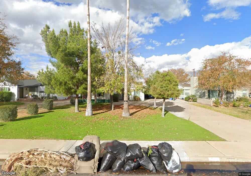
512 W Colter St Phoenix, AZ 85013
Uptown Phoenix NeighborhoodEstimated Value: $583,729 - $981,000
3
Beds
2
Baths
2,179
Sq Ft
$325/Sq Ft
Est. Value
About This Home
This home is located at 512 W Colter St, Phoenix, AZ 85013 and is currently estimated at $707,432, approximately $324 per square foot. 512 W Colter St is a home located in Maricopa County with nearby schools including Madison Richard Simis School, Madison Meadows School, and Central High School.
Ownership History
Date
Name
Owned For
Owner Type
Purchase Details
Closed on
Jul 26, 2010
Sold by
Poole Ute and Woolridge Ute
Bought by
Poole Ute
Current Estimated Value
Home Financials for this Owner
Home Financials are based on the most recent Mortgage that was taken out on this home.
Original Mortgage
$174,055
Interest Rate
4.5%
Mortgage Type
FHA
Purchase Details
Closed on
Jun 5, 2000
Sold by
Kress Mary M
Bought by
Woolridge Ute
Create a Home Valuation Report for This Property
The Home Valuation Report is an in-depth analysis detailing your home's value as well as a comparison with similar homes in the area
Home Values in the Area
Average Home Value in this Area
Purchase History
| Date | Buyer | Sale Price | Title Company |
|---|---|---|---|
| Poole Ute | -- | None Available | |
| Woolridge Ute | $165,000 | Stewart Title & Trust |
Source: Public Records
Mortgage History
| Date | Status | Borrower | Loan Amount |
|---|---|---|---|
| Closed | Poole Ute | $174,055 |
Source: Public Records
Tax History
| Year | Tax Paid | Tax Assessment Tax Assessment Total Assessment is a certain percentage of the fair market value that is determined by local assessors to be the total taxable value of land and additions on the property. | Land | Improvement |
|---|---|---|---|---|
| 2025 | $3,403 | $29,674 | -- | -- |
| 2024 | $3,142 | $28,261 | -- | -- |
| 2023 | $3,142 | $51,300 | $10,260 | $41,040 |
| 2022 | $3,041 | $36,780 | $7,350 | $29,430 |
| 2021 | $3,102 | $34,220 | $6,840 | $27,380 |
| 2020 | $3,052 | $33,650 | $6,730 | $26,920 |
| 2019 | $2,983 | $29,850 | $5,970 | $23,880 |
| 2018 | $2,905 | $27,110 | $5,420 | $21,690 |
| 2017 | $2,758 | $26,810 | $5,360 | $21,450 |
| 2016 | $2,657 | $22,970 | $4,590 | $18,380 |
| 2015 | $2,473 | $20,300 | $4,060 | $16,240 |
Source: Public Records
Map
Nearby Homes
- 334 W Medlock Dr Unit A101
- 537 W Missouri Ave
- 719 W Missouri Ave
- 654 W Camelback Rd Unit 13
- 5324 N 3rd Ave
- 5348 N 3rd Ave
- 5334 N 3rd Ave Unit 6
- 724 W Missouri Ave
- 903 W Missouri Ave
- 5215 N 11th Ave
- 913 W Missouri Ave
- 111 W Missouri Ave Unit G
- 521 W Mariposa St
- 110 W Missouri Ave Unit 25
- 10 W Georgia Ave Unit 16
- 1129 W Georgia Ave
- 21 W Pasadena Ave Unit 3
- 1215 W Colter St Unit 3
- 5122 N 13th Ave
- 77 E Missouri Ave Unit 27
- 510 W Colter St
- 514 W Colter St
- 524 W Colter St
- 500 W Colter St
- 509 W Oregon Ave
- 513 W Oregon Ave
- 505 W Oregon Ave
- 602 W Colter St
- 517 W Oregon Ave
- 501 W Oregon Ave
- 527 W Oregon Ave
- 692 W Colter St
- 420 W Colter St
- 425 W Colter St
- 425 W Colter St Unit B
- 423 W Colter St
- 694 W Colter St
- 343 W Oregon Ave
- 414 W Colter St
- 539 W Oregon Ave