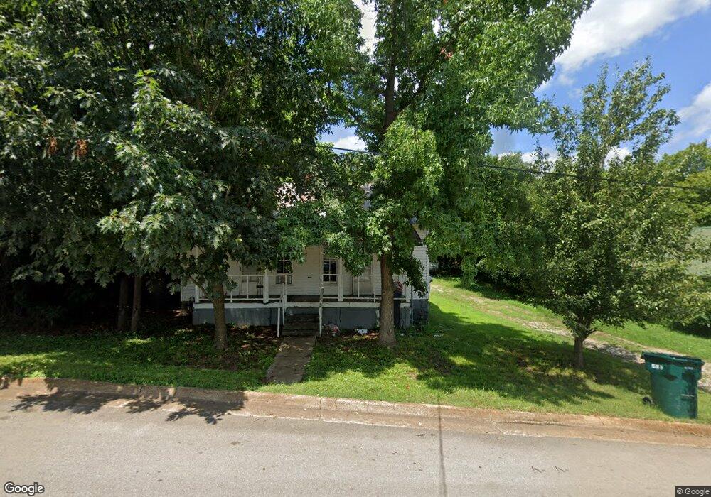
512 W Shoal St Pulaski, TN 38478
Estimated Value: $61,123 - $148,000
--
Bed
1
Bath
768
Sq Ft
$143/Sq Ft
Est. Value
About This Home
This home is located at 512 W Shoal St, Pulaski, TN 38478 and is currently estimated at $109,531, approximately $142 per square foot. 512 W Shoal St is a home located in Giles County with nearby schools including Pulaski Elementary School, Southside Elementary School, and Bridgeforth Middle School.
Ownership History
Date
Name
Owned For
Owner Type
Purchase Details
Closed on
Mar 9, 2022
Sold by
Parker Sr David T
Bought by
Hollis Christopher Michael and Hollis Deborah L
Current Estimated Value
Purchase Details
Closed on
Mar 10, 2021
Sold by
Patterson Farrell
Bought by
Parker David T and Hollis Christopher Michael
Purchase Details
Closed on
May 15, 1994
Sold by
Wood Andy
Bought by
Patterson Farrell
Purchase Details
Closed on
Jul 24, 1990
Bought by
Wood Andy
Purchase Details
Closed on
Jun 22, 1989
Bought by
Wood Andy and Woodrow Barlar
Purchase Details
Closed on
Jul 16, 1986
Bought by
Newton Nell E
Create a Home Valuation Report for This Property
The Home Valuation Report is an in-depth analysis detailing your home's value as well as a comparison with similar homes in the area
Home Values in the Area
Average Home Value in this Area
Purchase History
| Date | Buyer | Sale Price | Title Company |
|---|---|---|---|
| Hollis Christopher Michael | $12,500 | Andrew Hoover& Attorneys Pc | |
| Parker David T | $25,000 | Fowlkes Joe F | |
| Parker David T | $25,000 | None Listed On Document | |
| Patterson Farrell | $14,000 | -- | |
| Wood Andy | $7,000 | -- | |
| Wood Andy | $15,000 | -- | |
| Newton Nell E | -- | -- |
Source: Public Records
Tax History Compared to Growth
Tax History
| Year | Tax Paid | Tax Assessment Tax Assessment Total Assessment is a certain percentage of the fair market value that is determined by local assessors to be the total taxable value of land and additions on the property. | Land | Improvement |
|---|---|---|---|---|
| 2024 | $159 | $6,575 | $2,550 | $4,025 |
| 2023 | $159 | $6,575 | $2,550 | $4,025 |
| 2022 | $159 | $6,575 | $2,550 | $4,025 |
| 2021 | $166 | $4,900 | $1,375 | $3,525 |
| 2020 | $166 | $4,900 | $1,375 | $3,525 |
| 2019 | $138 | $4,900 | $1,375 | $3,525 |
| 2018 | $166 | $4,900 | $1,375 | $3,525 |
| 2017 | $166 | $4,900 | $1,375 | $3,525 |
| 2016 | $163 | $4,625 | $1,375 | $3,250 |
| 2015 | $155 | $4,625 | $1,375 | $3,250 |
| 2014 | $155 | $4,635 | $0 | $0 |
Source: Public Records
Map
Nearby Homes
- 210 S 6th St
- 602 S 1st St
- 219 W Flower St
- 318 W Jefferson St
- 720 W Madison St
- 321 W Washington St
- 118 S Rhodes St
- 303 Magazine Rd
- 420 Fort Hill Dr
- 803 Nichols St
- 123 S Sam Davis Ave
- 804 Morgan St
- 0 Sumpter St
- 439 E Madison St
- 326 Ballentine St
- 1021 Mill St
- 124 Chestnut St
- 418 Jones St
- 1200 Mill St
- 527 E Madison St