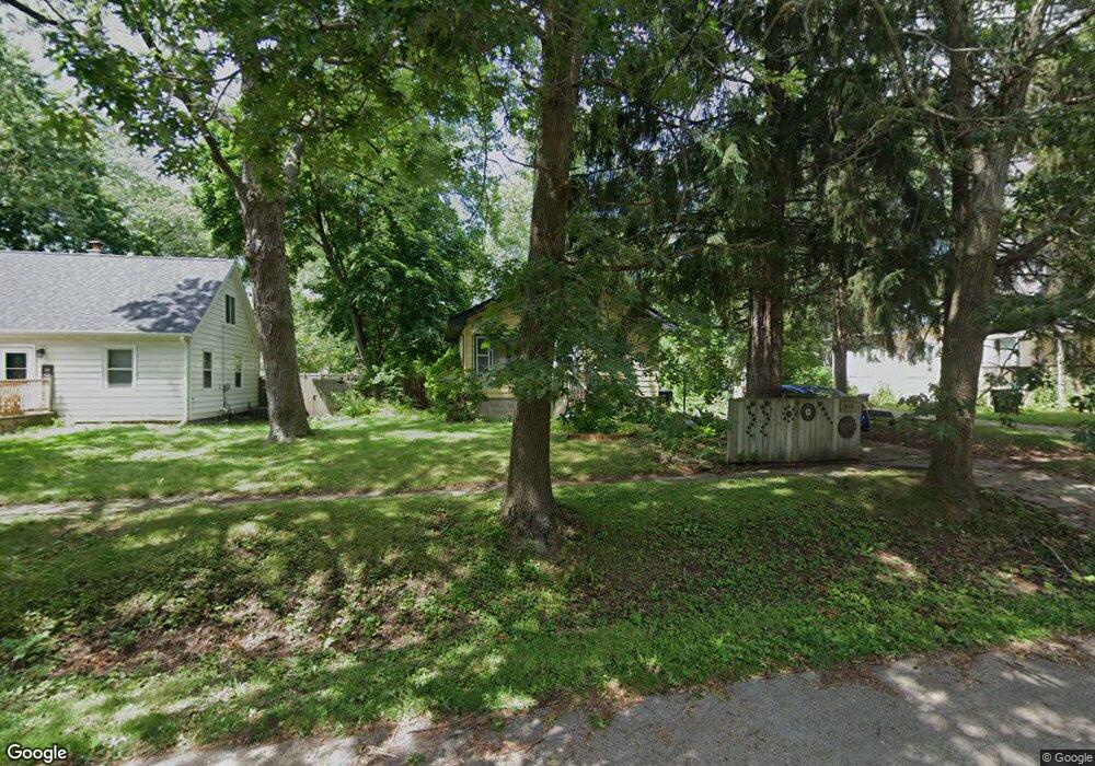
512 Whitney Ave Winthrop Harbor, IL 60096
Estimated Value: $189,000 - $209,000
3
Beds
2
Baths
792
Sq Ft
$250/Sq Ft
Est. Value
About This Home
This home is located at 512 Whitney Ave, Winthrop Harbor, IL 60096 and is currently estimated at $197,761, approximately $249 per square foot. 512 Whitney Ave is a home located in Lake County with nearby schools including Westfield School, North Prairie Junior High School, and Zion-Benton Township High School.
Ownership History
Date
Name
Owned For
Owner Type
Purchase Details
Closed on
May 18, 2016
Sold by
Miller John William
Bought by
Malourh Donna J
Current Estimated Value
Purchase Details
Closed on
Nov 22, 1996
Sold by
Miller Donna J and Anderson Donna J
Bought by
Miller John William and Miller Donna J
Home Financials for this Owner
Home Financials are based on the most recent Mortgage that was taken out on this home.
Original Mortgage
$43,000
Interest Rate
7.94%
Create a Home Valuation Report for This Property
The Home Valuation Report is an in-depth analysis detailing your home's value as well as a comparison with similar homes in the area
Home Values in the Area
Average Home Value in this Area
Purchase History
| Date | Buyer | Sale Price | Title Company |
|---|---|---|---|
| Malourh Donna J | -- | Attorney | |
| Miller John William | -- | Chicago Title Insurance Co |
Source: Public Records
Mortgage History
| Date | Status | Borrower | Loan Amount |
|---|---|---|---|
| Previous Owner | Miller John William | $43,000 |
Source: Public Records
Tax History Compared to Growth
Tax History
| Year | Tax Paid | Tax Assessment Tax Assessment Total Assessment is a certain percentage of the fair market value that is determined by local assessors to be the total taxable value of land and additions on the property. | Land | Improvement |
|---|---|---|---|---|
| 2024 | $2,298 | $43,542 | $7,078 | $36,464 |
| 2023 | $2,658 | $37,439 | $6,833 | $30,606 |
| 2022 | $2,658 | $35,283 | $6,667 | $28,616 |
| 2021 | $2,251 | $30,538 | $6,497 | $24,041 |
| 2020 | $2,133 | $29,142 | $6,200 | $22,942 |
| 2019 | $2,038 | $27,649 | $5,882 | $21,767 |
| 2018 | $1,599 | $24,410 | $7,102 | $17,308 |
| 2017 | $1,550 | $22,963 | $6,681 | $16,282 |
| 2016 | $1,447 | $21,861 | $6,360 | $15,501 |
| 2015 | $1,304 | $20,049 | $5,833 | $14,216 |
| 2014 | $3,049 | $27,889 | $7,670 | $20,219 |
| 2012 | $3,051 | $28,982 | $7,971 | $21,011 |
Source: Public Records
Map
Nearby Homes
- 1810 5th St
- 630 Whitney Ave
- 521 Deerpath Dr
- 737 Franklin Ave
- 832 Fulton Ave
- 0 Garnett Ave
- 242 Thompson Ave
- 830 Russell Ave
- 508 Cavin Ave
- 919 Charles Ave
- 908 Kimberly Ln
- 2403 11th St
- 1113 Franklin Ave
- 2336 128th St
- 1129 Park Ave
- 1206 Landon Ave
- 1204 Park Ave
- 1808 13th St
- 2404 13th St
- 140 Old Darby Ln
- 508 Whitney Ave
- 522 Whitney Ave
- 502 Whitney Ave
- 515 College Ave
- 511 College Ave
- 519 College Ave
- 513 Whitney Ave
- 501 College Ave
- 521 Whitney Ave
- 523 College Ave
- 532 Whitney Ave
- 1819 5th St
- 525 Whitney Ave
- 508 Park Ave
- 529 College Ave
- 534 Whitney Ave
- 510 Park Ave
- 1912 5th St
- 531 Whitney Ave
- 1816 5th St