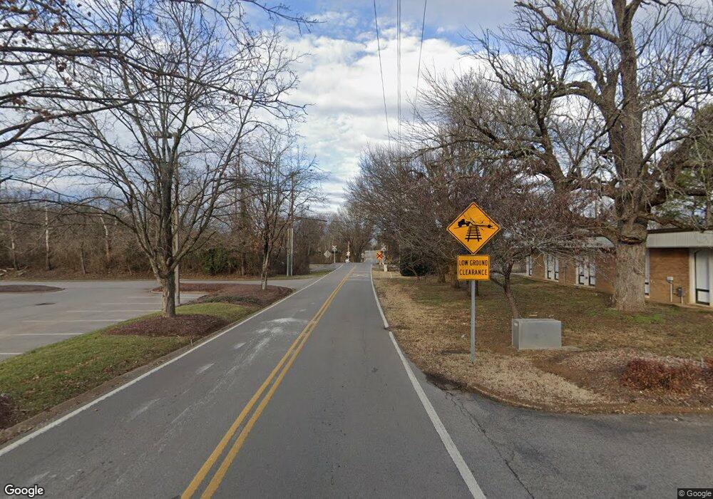
512 Wilson Pike Cir Brentwood, TN 37027
Estimated Value: $1,040,000 - $2,774,000
4
Beds
4
Baths
3,743
Sq Ft
$438/Sq Ft
Est. Value
About This Home
This home is located at 512 Wilson Pike Cir, Brentwood, TN 37027 and is currently estimated at $1,641,231, approximately $438 per square foot. 512 Wilson Pike Cir is a home located in Williamson County with nearby schools including Lipscomb Elementary School, Brentwood Middle School, and Brentwood High School.
Ownership History
Date
Name
Owned For
Owner Type
Purchase Details
Closed on
Apr 25, 2010
Sold by
Carr William F and Carr Kelli R
Bought by
Mahathy Joel and Mahathy Melanie Rae
Current Estimated Value
Purchase Details
Closed on
May 18, 2000
Sold by
Massengill Lloyd W and Massengill Cheryl L
Bought by
Carr William F and Carr Kelli R
Home Financials for this Owner
Home Financials are based on the most recent Mortgage that was taken out on this home.
Original Mortgage
$195,217
Interest Rate
8.2%
Create a Home Valuation Report for This Property
The Home Valuation Report is an in-depth analysis detailing your home's value as well as a comparison with similar homes in the area
Home Values in the Area
Average Home Value in this Area
Purchase History
| Date | Buyer | Sale Price | Title Company |
|---|---|---|---|
| Mahathy Joel | $348,000 | None Available | |
| Carr William F | $201,255 | Saturn & Mazer Title Svcs In |
Source: Public Records
Mortgage History
| Date | Status | Borrower | Loan Amount |
|---|---|---|---|
| Previous Owner | Carr William F | $195,217 |
Source: Public Records
Tax History Compared to Growth
Tax History
| Year | Tax Paid | Tax Assessment Tax Assessment Total Assessment is a certain percentage of the fair market value that is determined by local assessors to be the total taxable value of land and additions on the property. | Land | Improvement |
|---|---|---|---|---|
| 2024 | $4,573 | $210,750 | $37,500 | $173,250 |
| 2023 | $4,573 | $210,750 | $37,500 | $173,250 |
| 2022 | $4,573 | $210,750 | $37,500 | $173,250 |
| 2021 | $4,573 | $210,750 | $37,500 | $173,250 |
| 2020 | $3,654 | $141,600 | $33,750 | $107,850 |
| 2019 | $3,654 | $141,600 | $33,750 | $107,850 |
| 2018 | $3,554 | $141,600 | $33,750 | $107,850 |
| 2017 | $3,526 | $141,600 | $33,750 | $107,850 |
| 2016 | $0 | $141,600 | $33,750 | $107,850 |
| 2015 | -- | $120,175 | $32,500 | $87,675 |
| 2014 | -- | $120,175 | $32,500 | $87,675 |
Source: Public Records
Map
Nearby Homes
- 518 Wilson Pike
- 514 Davis Dr
- 509 Doubleday Ln
- 8901 Palmer Way
- 511 Wilson Run
- 9017 Carondelet Place
- 9131 Old Smyrna Rd
- 739 Rolling Fork Dr
- 8101 Turning Point Dr
- 8126 Boiling Springs Place
- 8100 Turning Point Dr
- 8104 Turning Point Dr
- 8102 Turning Point Dr
- 8121 Boiling Springs Place
- 8105 Turning Point Dr
- 8123 Boiling Springs Place
- 7015 Wilson Pike Cir
- 712 Wilson Pike
- 520 Mansion Dr
- 306 Brentwood Pkwy
- 512 Wilson Pike
- 514 Wilson Pike Cir
- 508 Wilson Pike
- 516 Wilson Pike
- 500 Chloe Ct
- 528 Wilson Run
- 515 Davis Dr
- 499 Chloe Ct
- 513 Davis Dr
- 517 Davis Dr
- 511 Davis Dr
- 9002 Carondelet Place
- 502 Wilson Pike
- 509 Davis Dr
- 9004 Carondelet Place
- 514 Doubleday Ln
- 526 Wilson Run
- 496 Chloe Ct
- 507 Davis Dr
- 495 Chloe Ct
