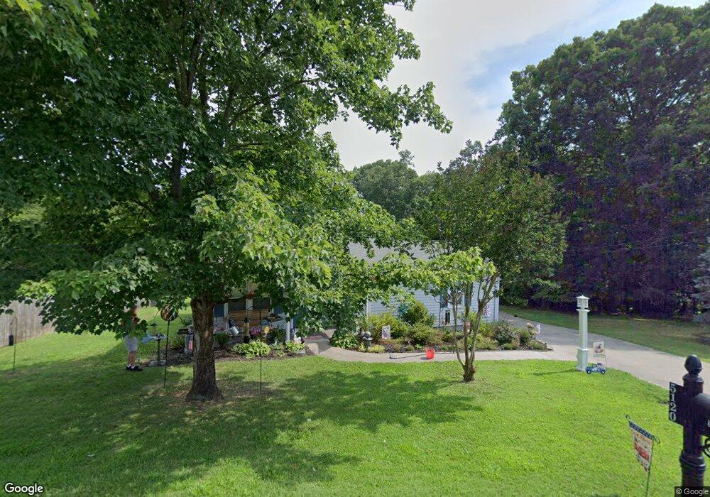
5120 Woodside St Kannapolis, NC 28081
Estimated Value: $241,000 - $303,000
3
Beds
2
Baths
1,504
Sq Ft
$182/Sq Ft
Est. Value
About This Home
This home is located at 5120 Woodside St, Kannapolis, NC 28081 and is currently estimated at $274,359, approximately $182 per square foot. 5120 Woodside St is a home located in Cabarrus County with nearby schools including Fred L. Wilson Elementary School, Kannapolis Middle, and A.L. Brown High School.
Ownership History
Date
Name
Owned For
Owner Type
Purchase Details
Closed on
Oct 19, 2020
Sold by
Adams Ralph Anderson and Adams Melissa K
Bought by
Feeney Gregory J and Feeney Jacklyn A
Current Estimated Value
Home Financials for this Owner
Home Financials are based on the most recent Mortgage that was taken out on this home.
Original Mortgage
$80,000
Outstanding Balance
$71,156
Interest Rate
2.9%
Mortgage Type
New Conventional
Estimated Equity
$203,203
Purchase Details
Closed on
Jun 1, 1985
Bought by
Adams Ii Ralph Anderson
Purchase Details
Closed on
Mar 1, 1980
Create a Home Valuation Report for This Property
The Home Valuation Report is an in-depth analysis detailing your home's value as well as a comparison with similar homes in the area
Home Values in the Area
Average Home Value in this Area
Purchase History
| Date | Buyer | Sale Price | Title Company |
|---|---|---|---|
| Feeney Gregory J | $160,000 | None Available | |
| Adams Ii Ralph Anderson | $500 | -- | |
| -- | $19,000 | -- |
Source: Public Records
Mortgage History
| Date | Status | Borrower | Loan Amount |
|---|---|---|---|
| Open | Feeney Gregory J | $80,000 |
Source: Public Records
Tax History Compared to Growth
Tax History
| Year | Tax Paid | Tax Assessment Tax Assessment Total Assessment is a certain percentage of the fair market value that is determined by local assessors to be the total taxable value of land and additions on the property. | Land | Improvement |
|---|---|---|---|---|
| 2025 | $1,719 | $254,330 | $44,000 | $210,330 |
| 2024 | $1,719 | $254,330 | $44,000 | $210,330 |
| 2023 | $1,309 | $155,870 | $28,600 | $127,270 |
| 2022 | $1,309 | $155,870 | $28,600 | $127,270 |
| 2021 | $1,309 | $155,870 | $28,600 | $127,270 |
| 2020 | $933 | $111,090 | $28,600 | $82,490 |
| 2019 | $749 | $89,120 | $15,600 | $73,520 |
| 2018 | $731 | $89,120 | $15,600 | $73,520 |
| 2017 | $695 | $89,120 | $15,600 | $73,520 |
| 2016 | $655 | $88,040 | $18,000 | $70,040 |
| 2015 | $647 | $88,040 | $18,000 | $70,040 |
| 2014 | $647 | $88,040 | $18,000 | $70,040 |
Source: Public Records
Map
Nearby Homes
- 5057 Bahama Dr
- 6124 Avalon Dr
- 0 Ridgecrest Dr
- 1734 Shadowbrook Dr
- 110 Tanglewood Dr
- 115 Northcrest Dr
- 1895 Normandy Rd
- 117 S Enochville Ave
- 6840 N Turner Dr
- 4648 Nob Hill Dr
- 110 White Ave
- 5461 S Oakmont St
- 5453 S Oakmont St
- 1530 Buffalo St
- 206 Winona Ave
- 113 Hilton Ave
- 6017 Pagemont Rd
- 4404 Dusty Orchard Rd
- 4415 Dusty Orchard Rd
- 6231 Kentwood Dr
- 5126 Woodside St
- 5132 Woodside St
- 5125 Woodside St
- 5119 Woodside St
- 5100 Woodside St
- 5141 Woodside St
- 5113 Woodside St
- 5101 Woodside St
- 5250 Woodside St
- 6212 Sardis Ave
- 5201 Power Line St
- 5201 Winton St
- 5260 Woodside St
- 5049 Woodside St
- 5050 Woodside St
- 5050 Woodside St
- 6239 Sardis Ave
- 6211 Sardis Ave
- 5203 Winton St
- 5266 Woodside St