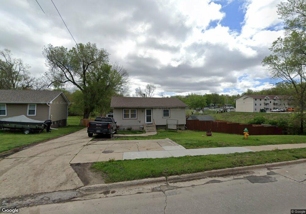
5121 South Union St Des Moines, IA 50315
South Central DSM NeighborhoodEstimated Value: $171,835 - $234,000
3
Beds
1
Bath
900
Sq Ft
$216/Sq Ft
Est. Value
About This Home
This home is located at 5121 South Union St, Des Moines, IA 50315 and is currently estimated at $194,459, approximately $216 per square foot. 5121 South Union St is a home located in Polk County with nearby schools including South Union Elementary School, Mccombs Middle School, and Lincoln High School.
Ownership History
Date
Name
Owned For
Owner Type
Purchase Details
Closed on
Aug 31, 2004
Sold by
Cendant Mobility Financial Corp
Bought by
Castillo Jose and Castillo Maricela
Current Estimated Value
Purchase Details
Closed on
Jul 31, 2004
Sold by
Borst Robert J and Borst Erin M
Bought by
Cendant Mobility Financial Corp
Purchase Details
Closed on
Dec 21, 2000
Sold by
Rogers Evelyn M
Bought by
Borst Robert J and Borst Erin M
Home Financials for this Owner
Home Financials are based on the most recent Mortgage that was taken out on this home.
Original Mortgage
$89,250
Interest Rate
7.83%
Mortgage Type
VA
Create a Home Valuation Report for This Property
The Home Valuation Report is an in-depth analysis detailing your home's value as well as a comparison with similar homes in the area
Home Values in the Area
Average Home Value in this Area
Purchase History
| Date | Buyer | Sale Price | Title Company |
|---|---|---|---|
| Castillo Jose | $95,500 | -- | |
| Cendant Mobility Financial Corp | $95,500 | -- | |
| Borst Robert J | $87,000 | -- |
Source: Public Records
Mortgage History
| Date | Status | Borrower | Loan Amount |
|---|---|---|---|
| Previous Owner | Borst Robert J | $89,250 |
Source: Public Records
Tax History Compared to Growth
Tax History
| Year | Tax Paid | Tax Assessment Tax Assessment Total Assessment is a certain percentage of the fair market value that is determined by local assessors to be the total taxable value of land and additions on the property. | Land | Improvement |
|---|---|---|---|---|
| 2025 | $2,636 | $162,600 | $44,100 | $118,500 |
| 2024 | $2,636 | $144,500 | $38,700 | $105,800 |
| 2023 | $2,520 | $144,500 | $38,700 | $105,800 |
| 2022 | $2,498 | $115,800 | $31,800 | $84,000 |
| 2021 | $2,334 | $115,800 | $31,800 | $84,000 |
| 2020 | $2,418 | $102,100 | $27,900 | $74,200 |
| 2019 | $2,230 | $102,100 | $27,900 | $74,200 |
| 2018 | $2,202 | $91,500 | $24,500 | $67,000 |
| 2017 | $2,052 | $91,500 | $24,500 | $67,000 |
| 2016 | $1,994 | $84,400 | $22,300 | $62,100 |
| 2015 | $1,994 | $84,400 | $22,300 | $62,100 |
| 2014 | $1,838 | $77,900 | $20,200 | $57,700 |
Source: Public Records
Map
Nearby Homes
- 5501 S Union St
- 299 Hackley Ave
- 212 Titus Ave
- 303 Porter Ave
- 520 Hackley Ave
- 304 Herold Ave
- 311 E Emma Ave
- 5814 SW 3rd St
- 5936 SW 2nd St
- 5600 SE 4th St
- 5402 SW 8th St
- 5812 SW 5th St
- 5407 SW 9th St
- 126 E Maxwelton Dr
- 209 E Philip St
- 612 Emma Ave
- 515 Emma Ave
- 217 E Payton Ave
- 401 E Wall Ave
- 108 E Philip St
- 5117 South Union St
- 5111 South Union St
- 5105 S Union St
- 5105 South Union St
- 5101 South Union St
- 100 Hackley Ave
- 5211 South Union St
- 5201 S Union St
- 5212 South Union St
- 106 Hackley Ave
- 5221 S Union St
- 5033 South Union St
- 5221 South Union St
- 5216 S Union St
- 5216 South Union St
- 112 Hackley Ave
- 5301 South Union St
- 5301 S Union St
- 5220 South Union St
- 5032 South Union St