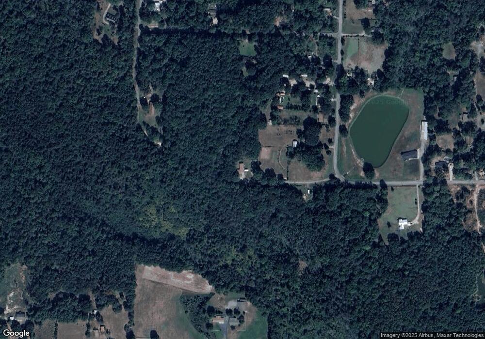
5122 S Landmark Cir Little Rock, AR 72206
Landmark NeighborhoodEstimated Value: $110,576 - $132,000
--
Bed
1
Bath
1,024
Sq Ft
$122/Sq Ft
Est. Value
About This Home
This home is located at 5122 S Landmark Cir, Little Rock, AR 72206 and is currently estimated at $124,644, approximately $121 per square foot. 5122 S Landmark Cir is a home located in Pulaski County with nearby schools including Landmark Elementary School and Mills University Studies High School.
Ownership History
Date
Name
Owned For
Owner Type
Purchase Details
Closed on
Dec 7, 2020
Sold by
Ard Deanna M and Cody Deanna M
Bought by
Taylor Kristin Burson
Current Estimated Value
Purchase Details
Closed on
Feb 2, 2015
Sold by
Herbert Tim and Herbert Valeria
Bought by
Cody Deanna M
Home Financials for this Owner
Home Financials are based on the most recent Mortgage that was taken out on this home.
Original Mortgage
$67,750
Interest Rate
4.37%
Mortgage Type
FHA
Purchase Details
Closed on
Aug 29, 2014
Sold by
Mcfarlin Tresa and Red Sandra
Bought by
Herbert Tim and Herbert Valeria
Purchase Details
Closed on
Jul 11, 2006
Sold by
Mcfarlin Tresa and Mcfarlin Patrick M
Bought by
Mcfarlin Tresa and Red Sandra
Purchase Details
Closed on
May 7, 1984
Bought by
Koon Darrell G and Koon Geraldine E
Create a Home Valuation Report for This Property
The Home Valuation Report is an in-depth analysis detailing your home's value as well as a comparison with similar homes in the area
Home Values in the Area
Average Home Value in this Area
Purchase History
| Date | Buyer | Sale Price | Title Company |
|---|---|---|---|
| Taylor Kristin Burson | $84,500 | Stewart Title Of Ar Llc | |
| Cody Deanna M | $69,000 | American Abstract & Title Co | |
| Herbert Tim | $22,000 | West Little Rock Title Co | |
| Mcfarlin Tresa | -- | None Available | |
| Koon Darrell G | $25,000 | -- |
Source: Public Records
Mortgage History
| Date | Status | Borrower | Loan Amount |
|---|---|---|---|
| Previous Owner | Cody Deanna M | $67,750 |
Source: Public Records
Tax History Compared to Growth
Tax History
| Year | Tax Paid | Tax Assessment Tax Assessment Total Assessment is a certain percentage of the fair market value that is determined by local assessors to be the total taxable value of land and additions on the property. | Land | Improvement |
|---|---|---|---|---|
| 2025 | $581 | $15,803 | $1,090 | $14,713 |
| 2024 | $532 | $15,803 | $1,090 | $14,713 |
| 2023 | $532 | $15,803 | $1,090 | $14,713 |
| 2022 | $508 | $15,803 | $1,090 | $14,713 |
| 2021 | $484 | $9,520 | $830 | $8,690 |
| 2020 | $109 | $9,520 | $830 | $8,690 |
| 2019 | $109 | $9,520 | $830 | $8,690 |
| 2018 | $133 | $9,520 | $830 | $8,690 |
| 2017 | $333 | $9,520 | $830 | $8,690 |
| 2016 | $385 | $8,650 | $1,530 | $7,120 |
| 2015 | $439 | $8,650 | $1,530 | $7,120 |
| 2014 | $439 | $8,650 | $1,530 | $7,120 |
Source: Public Records
Map
Nearby Homes
- 16716 N Landmark Cr
- 16520 Landmark Rd
- 18 Conniewood Dr
- 7 Amy Ct
- 15900 Hidden Valley Trail
- 0 Foxmoor Dr
- 18530 Winbury Cove
- 2905 Madrid Place
- 15012 Summer Oaks
- 15919 Bluff Ln
- 17630 Felton Ln
- 2533 Mail Route Rd
- 13058 White Oak Pond Dr
- 6515 Pine Crest Dr
- 000 Ram Rd
- 7421 Corrigan Rd
- 20210 Chicot Rd
- 20368 Chicot Rd Unit Tract 182
- "TBD" Arch St
- 14220 Hilaro Springs Rd
- 5116 S Landmark Cir
- 5112 S Landmark Cir
- 5124 S Landmark Cir
- S Landmark Cir
- 5420 S Landmark Cir
- 5014 S Landmark Cir
- 5010 S Landmark Cir
- 5224 S Landmark Cir
- 5303 S Landmark Cir
- 4921 S Landmark Cir
- 5313 S Landmark Cir
- 4606 Singley Rd
- 4610 Singley Rd
- 5319 S Landmark Cir
- 16900 Luna Ln
- 16705 Rowe Rd
- 3 Sara Ann Dr
- 4500 Koon Rd
- 1 Sara Ann Dr
- 4825 N Landmark Cir
