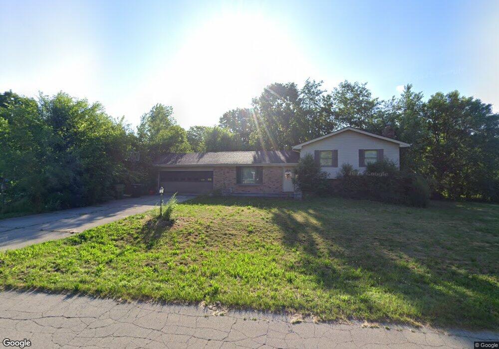
51222 Arch St Granger, IN 46530
Estimated Value: $326,000 - $411,000
3
Beds
3
Baths
2,799
Sq Ft
$127/Sq Ft
Est. Value
About This Home
This home is located at 51222 Arch St, Granger, IN 46530 and is currently estimated at $356,125, approximately $127 per square foot. 51222 Arch St is a home located in St. Joseph County with nearby schools including Horizon Elementary School, Discovery Middle School, and Penn High School.
Ownership History
Date
Name
Owned For
Owner Type
Purchase Details
Closed on
Aug 16, 2011
Sold by
Cook William J
Bought by
Herron Kenneth L and Herron Geneva
Current Estimated Value
Home Financials for this Owner
Home Financials are based on the most recent Mortgage that was taken out on this home.
Original Mortgage
$131,577
Interest Rate
3.99%
Mortgage Type
FHA
Create a Home Valuation Report for This Property
The Home Valuation Report is an in-depth analysis detailing your home's value as well as a comparison with similar homes in the area
Home Values in the Area
Average Home Value in this Area
Purchase History
| Date | Buyer | Sale Price | Title Company |
|---|---|---|---|
| Herron Kenneth L | -- | Stewart Title |
Source: Public Records
Mortgage History
| Date | Status | Borrower | Loan Amount |
|---|---|---|---|
| Previous Owner | Herron Kenneth L | $131,577 |
Source: Public Records
Tax History Compared to Growth
Tax History
| Year | Tax Paid | Tax Assessment Tax Assessment Total Assessment is a certain percentage of the fair market value that is determined by local assessors to be the total taxable value of land and additions on the property. | Land | Improvement |
|---|---|---|---|---|
| 2024 | $1,939 | $323,900 | $74,600 | $249,300 |
| 2023 | $1,891 | $239,000 | $74,500 | $164,500 |
| 2022 | $2,236 | $251,300 | $74,500 | $176,800 |
| 2021 | $1,985 | $212,100 | $20,400 | $191,700 |
| 2020 | $1,631 | $184,900 | $17,800 | $167,100 |
| 2019 | $1,569 | $211,500 | $18,800 | $192,700 |
| 2018 | $1,821 | $204,500 | $17,900 | $186,600 |
| 2017 | $1,514 | $172,300 | $15,100 | $157,200 |
| 2016 | $1,528 | $172,300 | $15,100 | $157,200 |
| 2014 | $1,194 | $138,900 | $12,400 | $126,500 |
Source: Public Records
Map
Nearby Homes
- 10267 Peotone Dr
- 12276 Pennyroyal Ln
- 11540 Greyson Alan Dr
- 13206 Adams Rd
- 11560 Greyson Alan Dr
- 12793 Brick Rd Unit Lot 4
- Integrity 2080 Plan at The Hills at St. Joe Farm
- Elements 2700 Plan at The Hills at St. Joe Farm - Elements
- Elements 2070 Plan at The Hills at St. Joe Farm - Elements
- Integrity 1880 Plan at The Hills at St. Joe Farm
- Integrity 1605 Plan at The Hills at St. Joe Farm
- Integrity 1610 Plan at The Hills at St. Joe Farm
- Integrity 2280 Plan at The Hills at St. Joe Farm
- Elements 2390 Plan at The Hills at St. Joe Farm - Elements
- 12983 Brick Rd
- 52070 Olympus Pass
- 11625 Sharpe Bridge Ct
- 13322 State Line Rd
- 51772 Currant Rd
- 51030 Birch Rd
- 12366 Ashland St
- 51256 Arch St
- 12420 Ashland St
- 12338 Ashland St
- 12385 Ashland St
- 51255 Arch St
- 51273 Arch St
- 12320 Ashland St
- 12421 Ashland St
- 12444 Ashland St
- 12363 Ashland St
- 12339 Ashland St
- 12437 Ashland St
- 51300 Arch St
- 12304 Ashland St
- 51299 Arch St
- 12325 Ashland St
- 51160 Bittersweet Rd
- 12463 Ashland St
- 51270 Bittersweet Rd