5123 E 550 N Roanoke, IN 46783
Estimated Value: $367,000 - $438,000
3
Beds
3
Baths
2,982
Sq Ft
$140/Sq Ft
Est. Value
About This Home
This home is located at 5123 E 550 N, Roanoke, IN 46783 and is currently estimated at $416,998, approximately $139 per square foot. 5123 E 550 N is a home located in Huntington County with nearby schools including Roanoke Elementary School, Crestview Middle School, and Huntington North High School.
Create a Home Valuation Report for This Property
The Home Valuation Report is an in-depth analysis detailing your home's value as well as a comparison with similar homes in the area
Tax History
| Year | Tax Paid | Tax Assessment Tax Assessment Total Assessment is a certain percentage of the fair market value that is determined by local assessors to be the total taxable value of land and additions on the property. | Land | Improvement |
|---|---|---|---|---|
| 2024 | $2,503 | $315,900 | $41,300 | $274,600 |
| 2023 | $2,528 | $300,800 | $41,300 | $259,500 |
| 2022 | $2,434 | $294,100 | $41,300 | $252,800 |
| 2021 | $2,125 | $240,600 | $41,300 | $199,300 |
| 2020 | $2,045 | $226,600 | $41,300 | $185,300 |
| 2019 | $1,842 | $224,200 | $41,300 | $182,900 |
| 2018 | $1,775 | $212,300 | $33,400 | $178,900 |
| 2017 | $1,565 | $209,000 | $33,400 | $175,600 |
| 2016 | $1,379 | $207,200 | $33,400 | $173,800 |
| 2014 | $1,315 | $193,500 | $33,400 | $160,100 |
| 2013 | $1,315 | $190,800 | $33,400 | $157,400 |
Source: Public Records
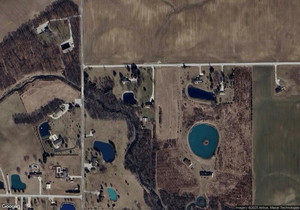
Map
Nearby Homes
- 5156 N Mayne Rd
- 0 Ginger Rd
- 2975 E 630 N
- 4565 E Station Rd
- 451 Rockwell Ave
- TBD W Yoder Rd
- 621 Nancyk Crossing
- 13011 Hamilton Rd
- 686 Puttman Place
- 602 Nancyk Crossing
- 11802 NW Smuts Dr
- 416 Nordyk Dr
- 183 W Vine St
- 17503 Wayne St
- TBD Feighner Rd
- 775 N Seminary St
- tbd Kilsoquah
- 798 N 500 E
- 16902 Prine Rd
- 11136 N 200 W
Your Personal Tour Guide
Ask me questions while you tour the home.