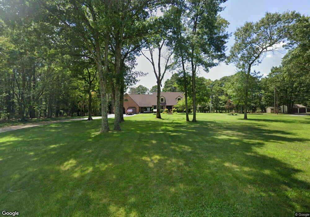
5124 Holly St Mays Landing, NJ 08330
Estimated Value: $382,000 - $630,000
--
Bed
--
Bath
2,796
Sq Ft
$188/Sq Ft
Est. Value
About This Home
This home is located at 5124 Holly St, Mays Landing, NJ 08330 and is currently estimated at $526,395, approximately $188 per square foot. 5124 Holly St is a home located in Atlantic County with nearby schools including George L. Hess Educational Complex, Joseph Shaner School, and William Davies Middle School.
Ownership History
Date
Name
Owned For
Owner Type
Purchase Details
Closed on
Nov 23, 2020
Sold by
Boney Richard E and Boney Barbara J
Bought by
Harrah Jennifer and Harrah David T
Current Estimated Value
Home Financials for this Owner
Home Financials are based on the most recent Mortgage that was taken out on this home.
Original Mortgage
$342,000
Outstanding Balance
$304,331
Interest Rate
2.8%
Mortgage Type
New Conventional
Estimated Equity
$222,064
Purchase Details
Closed on
Jul 10, 1982
Bought by
Boney Richard E and Boney Barbara J
Create a Home Valuation Report for This Property
The Home Valuation Report is an in-depth analysis detailing your home's value as well as a comparison with similar homes in the area
Home Values in the Area
Average Home Value in this Area
Purchase History
| Date | Buyer | Sale Price | Title Company |
|---|---|---|---|
| Harrah Jennifer | $360,000 | None Listed On Document | |
| Boney Richard E | -- | -- |
Source: Public Records
Mortgage History
| Date | Status | Borrower | Loan Amount |
|---|---|---|---|
| Open | Harrah Jennifer | $342,000 |
Source: Public Records
Tax History Compared to Growth
Tax History
| Year | Tax Paid | Tax Assessment Tax Assessment Total Assessment is a certain percentage of the fair market value that is determined by local assessors to be the total taxable value of land and additions on the property. | Land | Improvement |
|---|---|---|---|---|
| 2025 | $11,048 | $322,000 | $55,400 | $266,600 |
| 2024 | $11,048 | $322,000 | $55,400 | $266,600 |
| 2023 | $10,388 | $322,000 | $55,400 | $266,600 |
| 2022 | $10,388 | $322,000 | $55,400 | $266,600 |
| 2021 | $10,365 | $322,000 | $55,400 | $266,600 |
| 2020 | $10,365 | $322,000 | $55,400 | $266,600 |
| 2019 | $10,391 | $322,000 | $55,400 | $266,600 |
| 2018 | $10,027 | $322,000 | $55,400 | $266,600 |
| 2017 | $9,869 | $322,000 | $55,400 | $266,600 |
| 2016 | $9,592 | $322,000 | $55,400 | $266,600 |
| 2015 | $9,267 | $322,000 | $55,400 | $266,600 |
| 2014 | $9,095 | $346,200 | $64,300 | $281,900 |
Source: Public Records
Map
Nearby Homes
- 2614 Cologne Ave
- 5630 Oslo Ave
- 2501 Cologne Ave
- 5477 Oak St
- 4796 Almond Ave
- 00 Holly St
- 5777 Holly St
- 3514 Woodlands Dr Unit 51
- 3137 Woodlands Dr Unit 3137
- 0 Cleveland Ave
- 5827 Holly St
- 3221 Juniper Ct Unit C0058
- 2406 Oslo Ave
- 3110 Woodlands Dr
- 3108 Woodlands Dr Unit 3108
- 5744 Oak St
- 3025 Ivy Bush Ct
- 3045 Ivy Bush Ct Unit C0021
- 3 Woodmere Ave
- 3054 Ivy Bush Ct Unit 515