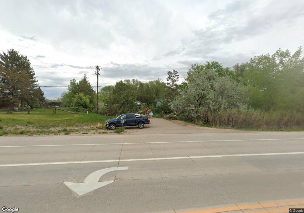
5125 Ute Hwy Longmont, CO 80503
Estimated Value: $437,000 - $792,000
2
Beds
1
Bath
966
Sq Ft
$662/Sq Ft
Est. Value
About This Home
This home is located at 5125 Ute Hwy, Longmont, CO 80503 and is currently estimated at $639,554, approximately $662 per square foot. 5125 Ute Hwy is a home located in Boulder County with nearby schools including Lyons Elementary School and Lyons Middle/Senior High School.
Ownership History
Date
Name
Owned For
Owner Type
Purchase Details
Closed on
May 22, 2016
Sold by
Porter Alice
Bought by
Porter Alice
Current Estimated Value
Purchase Details
Closed on
May 3, 2016
Sold by
Hickman Lois
Bought by
Porter Alice
Purchase Details
Closed on
Nov 14, 2001
Sold by
Danielson Jennifer and Hickman Lois
Bought by
Hickman Lois
Purchase Details
Closed on
Sep 3, 1998
Sold by
Martin John
Bought by
Danielson Jennifer
Purchase Details
Closed on
Oct 1, 1996
Sold by
Rowley Jack R and Rowley Ruth A
Bought by
Martin John
Home Financials for this Owner
Home Financials are based on the most recent Mortgage that was taken out on this home.
Original Mortgage
$85,000
Interest Rate
8%
Mortgage Type
Seller Take Back
Purchase Details
Closed on
Feb 6, 1975
Bought by
Hickman Lois Family Farm Trust
Create a Home Valuation Report for This Property
The Home Valuation Report is an in-depth analysis detailing your home's value as well as a comparison with similar homes in the area
Home Values in the Area
Average Home Value in this Area
Purchase History
| Date | Buyer | Sale Price | Title Company |
|---|---|---|---|
| Porter Alice | -- | None Available | |
| Porter Alice | -- | None Available | |
| Hickman Lois | -- | -- | |
| Danielson Jennifer | $170,000 | -- | |
| Martin John | $170,000 | -- | |
| Hickman Lois Family Farm Trust | $33,500 | -- |
Source: Public Records
Mortgage History
| Date | Status | Borrower | Loan Amount |
|---|---|---|---|
| Previous Owner | Martin John | $85,000 | |
| Closed | Martin John | $35,000 |
Source: Public Records
Tax History Compared to Growth
Tax History
| Year | Tax Paid | Tax Assessment Tax Assessment Total Assessment is a certain percentage of the fair market value that is determined by local assessors to be the total taxable value of land and additions on the property. | Land | Improvement |
|---|---|---|---|---|
| 2025 | $3,099 | $36,256 | $10,056 | $26,200 |
| 2024 | $3,099 | $36,256 | $10,056 | $26,200 |
| 2023 | $3,049 | $36,884 | $9,347 | $31,222 |
| 2022 | $2,499 | $30,768 | $8,549 | $22,219 |
| 2021 | $2,508 | $31,654 | $8,795 | $22,859 |
| 2020 | $1,796 | $25,011 | $3,647 | $21,364 |
| 2019 | $1,766 | $25,011 | $3,647 | $21,364 |
| 2018 | $1,432 | $21,715 | $3,600 | $18,115 |
| 2017 | $1,398 | $24,007 | $3,980 | $20,027 |
| 2016 | $1,221 | $11,757 | $4,856 | $6,901 |
| 2015 | $546 | $12,676 | $5,572 | $7,104 |
| 2014 | $927 | $18,634 | $5,572 | $13,062 |
Source: Public Records
Map
Nearby Homes
- 121 Osprey Ln
- 346 Mcconnell Dr
- 344 Mcconnell Dr
- 223 Stone Canyon Rd
- 12041 Twilight St
- 618 Overlook Dr
- 11562 Eagle Springs Trail
- 515 2nd Ave Unit 7
- 12745 N 66th St
- 11730 Pointe View Dr
- 11558 Eagle Springs Trail
- 622 3rd Ave
- 342 4th Ave
- 2450 Eagle Ridge Rd
- 418 High St
- 209 Ewald Ave
- 219 Ewald Ave
- 2615 Eagle Ridge Rd
- 1117 5th Ave
- 1117 N 5th Ave