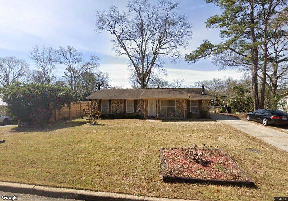
5126 Cunningham Dr Columbus, GA 31909
North Columbus NeighborhoodEstimated Value: $161,171 - $186,000
3
Beds
2
Baths
1,350
Sq Ft
$129/Sq Ft
Est. Value
About This Home
This home is located at 5126 Cunningham Dr, Columbus, GA 31909 and is currently estimated at $173,793, approximately $128 per square foot. 5126 Cunningham Dr is a home located in Muscogee County with nearby schools including Midland Academy, Midland Middle School, and Shaw High School.
Ownership History
Date
Name
Owned For
Owner Type
Purchase Details
Closed on
May 31, 2016
Sold by
Swindles Michael G
Bought by
Scott Belinda
Current Estimated Value
Home Financials for this Owner
Home Financials are based on the most recent Mortgage that was taken out on this home.
Original Mortgage
$101,827
Outstanding Balance
$81,826
Interest Rate
3.87%
Mortgage Type
FHA
Estimated Equity
$91,967
Create a Home Valuation Report for This Property
The Home Valuation Report is an in-depth analysis detailing your home's value as well as a comparison with similar homes in the area
Home Values in the Area
Average Home Value in this Area
Purchase History
| Date | Buyer | Sale Price | Title Company |
|---|---|---|---|
| Scott Belinda | $107,900 | -- |
Source: Public Records
Mortgage History
| Date | Status | Borrower | Loan Amount |
|---|---|---|---|
| Open | Scott Belinda | $101,827 |
Source: Public Records
Tax History
| Year | Tax Paid | Tax Assessment Tax Assessment Total Assessment is a certain percentage of the fair market value that is determined by local assessors to be the total taxable value of land and additions on the property. | Land | Improvement |
|---|---|---|---|---|
| 2025 | $1,023 | $48,396 | $9,440 | $38,956 |
| 2024 | $102 | $48,396 | $9,440 | $38,956 |
| 2023 | $334 | $48,396 | $9,440 | $38,956 |
| 2022 | $1,065 | $41,356 | $9,440 | $31,916 |
| 2021 | $1,058 | $38,204 | $9,440 | $28,764 |
| 2020 | $1,058 | $38,204 | $9,440 | $28,764 |
| 2019 | $1,064 | $38,204 | $9,440 | $28,764 |
| 2018 | $1,064 | $38,204 | $9,440 | $28,764 |
| 2017 | $1,069 | $39,304 | $9,440 | $29,864 |
| 2016 | $1,016 | $24,637 | $3,320 | $21,317 |
| 2015 | $1,018 | $24,637 | $3,320 | $21,317 |
| 2014 | $1,019 | $24,637 | $3,320 | $21,317 |
| 2013 | -- | $24,637 | $3,320 | $21,317 |
Source: Public Records
Map
Nearby Homes
- 5240 Spinnaker Ct
- 5258 Cunningham Dr
- 4017 Shade Valley Dr
- 6016 Warm Springs Ct
- 6100 Stony Creek Dr
- 5045 Old Post Rd
- 5042 Foxfire Dr
- 4847 Warm Springs Rd
- 6003 Morningside Dr
- 5041 Montego Dr
- 6421 Lemans Ln
- 4802 Basswood Dr
- 6528 Yellow Stone Ct
- 5741 Eastside Dr
- 4627 Wimbish Ct
- 6502 Tidewater Ct
- 5926 Frazier Dr
- 4437 Ansley Ave
- 4826 Teak Dr
- 4320 Canady St
- 5120 Cunningham Dr
- 5132 Cunningham Dr
- 5070 Warm Springs Rd
- 5114 Cunningham Dr
- 5138 Cunningham Dr
- 5125 Cunningham Dr
- 5131 Cunningham Dr
- 5119 Cunningham Dr
- 5137 Cunningham Dr
- 5108 Cunningham Dr
- 5113 Cunningham Dr
- 5144 Cunningham Dr
- 5219 Spinnaker Ct
- 5209 Spinnaker Ct
- 5215 Spinnaker Ct
- 5223 Spinnaker Ct
- 5064 Warm Springs Rd
- 6107 Stoneway Dr
- 5107 Cunningham Dr
- 5203 Spinnaker Ct
Your Personal Tour Guide
Ask me questions while you tour the home.