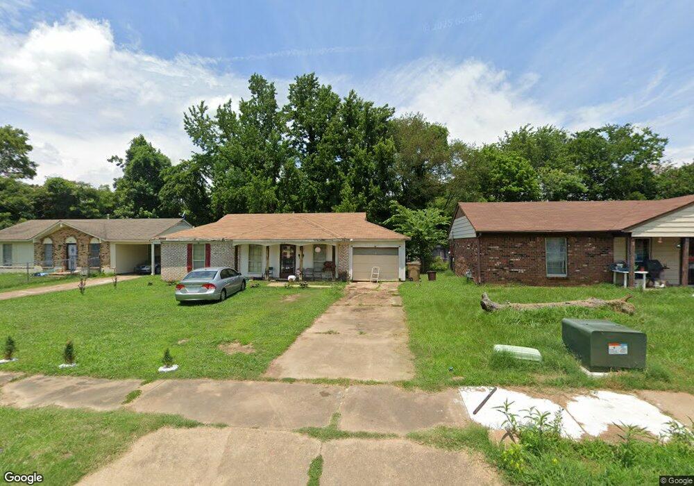
5127 Belfast Dr Memphis, TN 38127
Estimated Value: $83,000 - $91,000
3
Beds
1
Bath
1,053
Sq Ft
$82/Sq Ft
Est. Value
About This Home
This home is located at 5127 Belfast Dr, Memphis, TN 38127 and is currently estimated at $86,354, approximately $82 per square foot. 5127 Belfast Dr is a home located in Shelby County with nearby schools including Northaven Elementary School, Woodstock Middle School, and Trezevant High School.
Ownership History
Date
Name
Owned For
Owner Type
Purchase Details
Closed on
Jul 23, 2025
Sold by
Yai Real Estate Llc
Bought by
Yai Partners Iii Llc
Current Estimated Value
Purchase Details
Closed on
Apr 7, 2025
Sold by
Shelby County Chancery Court
Bought by
Ojp Llc
Purchase Details
Closed on
Feb 21, 2025
Sold by
Ojp Llc
Bought by
Yai Real Estate Llc
Purchase Details
Closed on
Jun 11, 2020
Sold by
Flea Market Proeprties Trusts
Bought by
Caoili George
Purchase Details
Closed on
Jan 9, 2020
Sold by
Nations Angela
Bought by
Caoili George
Purchase Details
Closed on
Oct 27, 2000
Sold by
Thomas Rosa M
Bought by
Tinnon Zelda P
Home Financials for this Owner
Home Financials are based on the most recent Mortgage that was taken out on this home.
Original Mortgage
$46,219
Interest Rate
7.87%
Create a Home Valuation Report for This Property
The Home Valuation Report is an in-depth analysis detailing your home's value as well as a comparison with similar homes in the area
Home Values in the Area
Average Home Value in this Area
Purchase History
| Date | Buyer | Sale Price | Title Company |
|---|---|---|---|
| Yai Partners Iii Llc | -- | Advocate Title & Escrow Servic | |
| Ojp Llc | $34,100 | None Listed On Document | |
| Yai Real Estate Llc | -- | Advocate Title & Escrow Servic | |
| Caoili George | -- | None Available | |
| Caoili George | -- | None Available | |
| Tinnon Zelda P | $46,000 | -- | |
| Tinnon Zelda P | $46,000 | -- |
Source: Public Records
Mortgage History
| Date | Status | Borrower | Loan Amount |
|---|---|---|---|
| Previous Owner | Tinnon Zelda P | $46,219 | |
| Closed | Tinnon Zelda P | $2,460 |
Source: Public Records
Tax History Compared to Growth
Tax History
| Year | Tax Paid | Tax Assessment Tax Assessment Total Assessment is a certain percentage of the fair market value that is determined by local assessors to be the total taxable value of land and additions on the property. | Land | Improvement |
|---|---|---|---|---|
| 2025 | $422 | $21,300 | $2,000 | $19,300 |
| 2024 | $422 | $12,450 | $1,475 | $10,975 |
| 2023 | $422 | $12,450 | $1,475 | $10,975 |
| 2022 | $422 | $12,450 | $1,475 | $10,975 |
| 2021 | $504 | $12,450 | $1,475 | $10,975 |
| 2020 | $340 | $8,400 | $1,475 | $6,925 |
| 2019 | $340 | $8,400 | $1,475 | $6,925 |
| 2018 | $340 | $8,400 | $1,475 | $6,925 |
| 2017 | $345 | $8,400 | $1,475 | $6,925 |
| 2016 | $413 | $9,450 | $0 | $0 |
| 2014 | $413 | $9,450 | $0 | $0 |
Source: Public Records
Map
Nearby Homes
- 5096 Belfast Dr
- 5090 Belfast Dr
- 5088 Breckenwood Dr
- 5072 Blacksmith Dr
- 5140 Blacksmith Dr
- 901 Chesterton Dr
- 936 Chesterton Dr
- 759 Brandywine Blvd
- 5046 Breckenwood Dr
- 5030 Breckenwood Dr
- 850 Carol Ann Cove
- 823 Bitter Creek Cove
- 980 N Circle Rd
- 810 Northaven Dr
- 5315 Braden Dr
- 706 Northaven Dr
- 5338 Cedar Bluff Dr
- 881 Northaven Dr
- 645 Mcwhirter Ave
- 5371 Cedar Bluff Dr
- 5123 Belfast Dr
- 5131 Belfast Dr
- 5119 Belfast Dr
- 5126 Belfast Dr
- 5117 Belfast Dr
- 5130 Belfast Dr
- 5113 Belfast Dr
- 5107 Belfast Dr
- 5144 Breckenwood Dr
- 5104 Belfast Dr
- 5138 Breckenwood Dr
- 5132 Breckenwood Dr
- 5150 Breckenwood Dr
- 5163 Breckenwood Dr
- 5119 Breckenwood Dr
- 5103 Belfast Dr
- 5126 Breckenwood Dr
- 5158 Breckenwood Dr
- 5100 Belfast Dr
- 5120 Breckenwood Dr