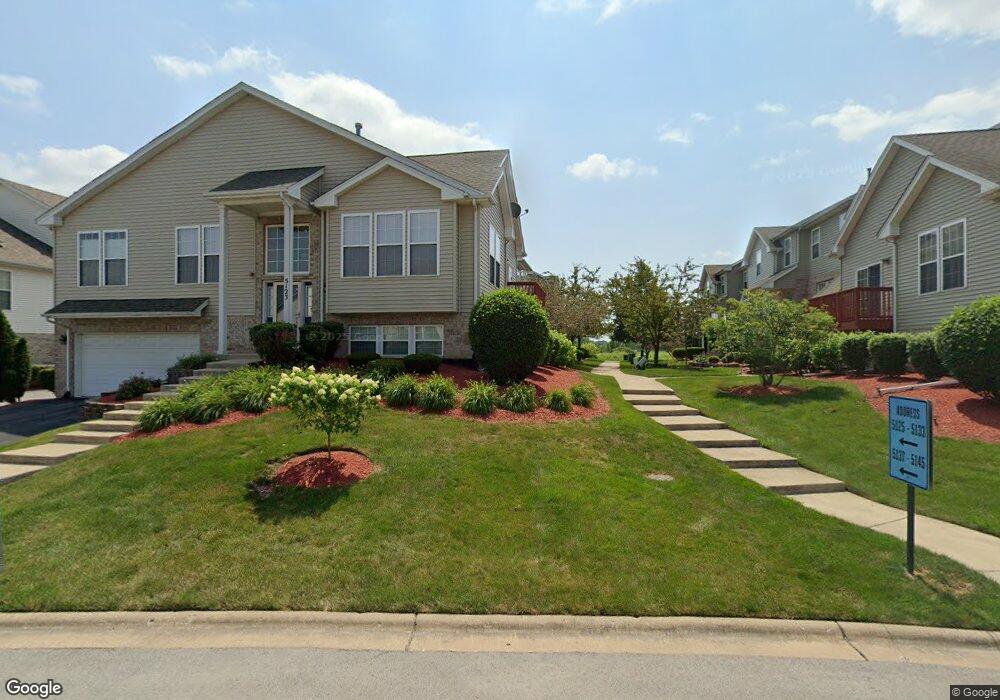
5127 Monroe St Matteson, IL 60443
Old Matteson NeighborhoodEstimated Value: $243,000 - $295,000
3
Beds
3
Baths
1,737
Sq Ft
$159/Sq Ft
Est. Value
About This Home
This home is located at 5127 Monroe St, Matteson, IL 60443 and is currently estimated at $276,077, approximately $158 per square foot. 5127 Monroe St is a home located in Cook County with nearby schools including Colin Powell Middle School and Southland College Prep.
Ownership History
Date
Name
Owned For
Owner Type
Purchase Details
Closed on
Oct 12, 2023
Sold by
Cheers Gloria A
Bought by
Davidson Darren
Current Estimated Value
Purchase Details
Closed on
Apr 30, 2008
Sold by
Enclave At Brookmere Llc
Bought by
Cheers Gloria A
Home Financials for this Owner
Home Financials are based on the most recent Mortgage that was taken out on this home.
Original Mortgage
$164,000
Interest Rate
6.09%
Mortgage Type
Unknown
Create a Home Valuation Report for This Property
The Home Valuation Report is an in-depth analysis detailing your home's value as well as a comparison with similar homes in the area
Home Values in the Area
Average Home Value in this Area
Purchase History
| Date | Buyer | Sale Price | Title Company |
|---|---|---|---|
| Davidson Darren | -- | None Listed On Document | |
| Cheers Gloria A | $205,000 | None Available |
Source: Public Records
Mortgage History
| Date | Status | Borrower | Loan Amount |
|---|---|---|---|
| Previous Owner | Cheers Gloria A | $164,000 |
Source: Public Records
Tax History
| Year | Tax Paid | Tax Assessment Tax Assessment Total Assessment is a certain percentage of the fair market value that is determined by local assessors to be the total taxable value of land and additions on the property. | Land | Improvement |
|---|---|---|---|---|
| 2025 | $7,060 | $23,000 | $1,489 | $21,511 |
| 2024 | $7,060 | $23,000 | $1,489 | $21,511 |
| 2023 | $3,963 | $23,000 | $1,489 | $21,511 |
| 2022 | $3,963 | $13,560 | $1,285 | $12,275 |
| 2021 | $4,088 | $13,558 | $1,284 | $12,274 |
| 2020 | $4,164 | $13,558 | $1,284 | $12,274 |
| 2019 | $4,740 | $14,848 | $1,168 | $13,680 |
| 2018 | $4,665 | $14,848 | $1,168 | $13,680 |
| 2017 | $4,593 | $14,848 | $1,168 | $13,680 |
| 2016 | $7,987 | $15,433 | $1,051 | $14,382 |
| 2015 | $5,557 | $15,433 | $1,051 | $14,382 |
| 2014 | $5,453 | $15,433 | $1,051 | $14,382 |
| 2013 | $5,572 | $16,620 | $1,051 | $15,569 |
Source: Public Records
Map
Nearby Homes
- 175 Owen St
- 78 Kenneth St
- 98 Lawrence Ln
- 51 Manor Dr
- 255 Central Ave
- 322 Central Ave
- 5327 Northwestern Dr
- 5628 Crestwood Rd
- 763 Cambridge Ave
- 4500 203rd St
- 620 Larkspur Ln
- 156 Cloverleaf Rd
- 5804 Kathryn Ln
- 5808 Allemong Dr
- 744 Academy Ave
- 20813 Homeland Rd
- 5742 Woodgate Dr
- 5631 Colgate Ln
- 153 Treehouse Rd
- 135 Treehouse Rd
- 5129 Monroe St
- 5123 Monroe St
- 5125 Monroe St
- 5125 Monroe St Unit 20-2
- 5131 Monroe St
- 5133 Monroe St
- 5133 Monroe St Unit 20-6
- 5115 Monroe St
- 5119 Monroe St
- 5135 Monroe St
- 5137 Monroe St
- 5139 Monroe St
- 5141 Monroe St
- 5113 Monroe St
- 5121 Monroe St
- 5111 Monroe St
- 5143 Monroe St
- 5098 Monroe St
- 5145 Monroe St
Your Personal Tour Guide
Ask me questions while you tour the home.