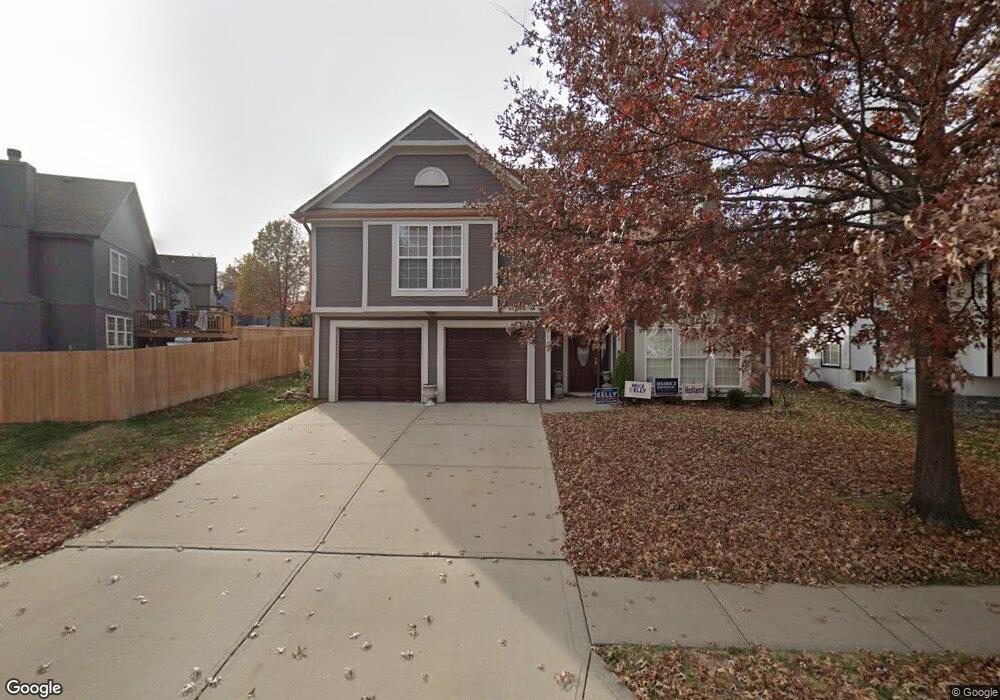
5128 Payne St Shawnee, KS 66226
Estimated Value: $383,000 - $408,000
3
Beds
3
Baths
1,708
Sq Ft
$230/Sq Ft
Est. Value
About This Home
This home is located at 5128 Payne St, Shawnee, KS 66226 and is currently estimated at $392,195, approximately $229 per square foot. 5128 Payne St is a home located in Johnson County with nearby schools including Prairie Ridge Elementary School, Monticello Trails Middle School, and Mill Valley High School.
Ownership History
Date
Name
Owned For
Owner Type
Purchase Details
Closed on
May 23, 2006
Sold by
Peters James H and Peters Donna L
Bought by
Delgado Shawn A and Delgado Olivia
Current Estimated Value
Home Financials for this Owner
Home Financials are based on the most recent Mortgage that was taken out on this home.
Original Mortgage
$28,200
Interest Rate
6.14%
Mortgage Type
New Conventional
Create a Home Valuation Report for This Property
The Home Valuation Report is an in-depth analysis detailing your home's value as well as a comparison with similar homes in the area
Home Values in the Area
Average Home Value in this Area
Purchase History
| Date | Buyer | Sale Price | Title Company |
|---|---|---|---|
| Delgado Shawn A | -- | Kansas City Title |
Source: Public Records
Mortgage History
| Date | Status | Borrower | Loan Amount |
|---|---|---|---|
| Closed | Delgado Shawn A | $28,200 | |
| Open | Delgado Shawn A | $150,400 |
Source: Public Records
Tax History
| Year | Tax Paid | Tax Assessment Tax Assessment Total Assessment is a certain percentage of the fair market value that is determined by local assessors to be the total taxable value of land and additions on the property. | Land | Improvement |
|---|---|---|---|---|
| 2025 | $4,269 | $40,043 | $7,679 | $32,364 |
| 2023 | $4,269 | $36,351 | $6,342 | $30,009 |
| 2022 | $3,965 | $33,074 | $5,764 | $27,310 |
| 2021 | $3,761 | $30,073 | $5,494 | $24,579 |
| 2020 | $3,527 | $27,945 | $5,494 | $22,451 |
| 2019 | $3,258 | $25,416 | $5,233 | $20,183 |
| 2018 | $3,174 | $24,542 | $5,233 | $19,309 |
| 2017 | $3,116 | $23,506 | $4,551 | $18,955 |
| 2016 | $2,904 | $21,620 | $4,140 | $17,480 |
| 2015 | $2,887 | $21,206 | $4,140 | $17,066 |
| 2013 | -- | $19,159 | $4,140 | $15,019 |
Source: Public Records
Map
Nearby Homes
- 5147 Payne St
- 21526 W 51st Terrace
- 5314 Brockway St
- 21610 W 49th St
- 5333 Hilltop Dr
- 4711 Roundtree Ct
- 5425 Payne Ct
- 21436 W 48th St
- 4910 Marion St
- 5511 Chouteau St
- 4607 Aminda St
- 4485 Kansas 7
- 21010 W 54th St
- 20907 W 53rd Terrace
- 22218 W 57th St
- 21606 W 57th Terrace
- 22414 W 58th St
- 9303 Aminda St
- 9313 Aminda St
- 9305 Aminda St
- 5122 Payne St
- 22004 W 51st Ct
- 5117 Roundtree St
- 5113 Roundtree St
- 5129 Payne St
- 22016 W 51st Ct
- 5121 Roundtree St
- 5135 Payne St
- 5109 Roundtree St
- 5117 Payne St
- 5110 Payne St
- 5141 Payne St
- 22007 W 51st Ct
- 5111 Payne St
- 22022 W 51st Ct
- 5105 Roundtree St
- 5125 Roundtree St
- 22013 W 51st Ct
- 5104 Payne St
- 22015 W 51st St
Your Personal Tour Guide
Ask me questions while you tour the home.