5129 4th Colony Dr Gainesville, GA 30504
Estimated Value: $368,740 - $482,000
3
Beds
3
Baths
2,151
Sq Ft
$201/Sq Ft
Est. Value
About This Home
This home is located at 5129 4th Colony Dr, Gainesville, GA 30504 and is currently estimated at $431,435, approximately $200 per square foot. 5129 4th Colony Dr is a home located in Hall County with nearby schools including McEver Elementary School, Chestatee Middle School, and Chestatee High School.
Ownership History
Date
Name
Owned For
Owner Type
Purchase Details
Closed on
May 18, 2018
Sold by
Gosselfinger Christian
Bought by
Quick Robert M and Quick Stephanie G
Current Estimated Value
Purchase Details
Closed on
Jan 10, 2014
Sold by
Arnold Anthony J
Bought by
Grosselfinger Christian
Home Financials for this Owner
Home Financials are based on the most recent Mortgage that was taken out on this home.
Original Mortgage
$162,000
Interest Rate
4.44%
Mortgage Type
New Conventional
Purchase Details
Closed on
Dec 28, 2004
Sold by
Arnold Delores D
Bought by
Arnold Anthony J
Purchase Details
Closed on
Jun 7, 2001
Sold by
Arnold Earl H
Bought by
Arnold Dolores D
Create a Home Valuation Report for This Property
The Home Valuation Report is an in-depth analysis detailing your home's value as well as a comparison with similar homes in the area
Home Values in the Area
Average Home Value in this Area
Purchase History
| Date | Buyer | Sale Price | Title Company |
|---|---|---|---|
| Quick Robert M | $269,500 | -- | |
| Grosselfinger Christian | $180,000 | -- | |
| Arnold Anthony J | $135,000 | -- | |
| Arnold Dolores D | -- | -- |
Source: Public Records
Mortgage History
| Date | Status | Borrower | Loan Amount |
|---|---|---|---|
| Previous Owner | Grosselfinger Christian | $162,000 |
Source: Public Records
Tax History Compared to Growth
Tax History
| Year | Tax Paid | Tax Assessment Tax Assessment Total Assessment is a certain percentage of the fair market value that is determined by local assessors to be the total taxable value of land and additions on the property. | Land | Improvement |
|---|---|---|---|---|
| 2025 | $1,525 | $130,744 | $12,760 | $117,984 |
| 2024 | $3,283 | $128,904 | $12,760 | $116,144 |
| 2023 | $2,793 | $124,904 | $12,760 | $112,144 |
| 2022 | $2,838 | $106,424 | $12,760 | $93,664 |
| 2021 | $2,797 | $102,944 | $12,960 | $89,984 |
| 2020 | $2,742 | $98,024 | $12,960 | $85,064 |
| 2019 | $2,675 | $92,704 | $12,960 | $79,744 |
| 2018 | $2,417 | $83,184 | $12,960 | $70,224 |
| 2017 | $2,184 | $75,744 | $12,960 | $62,784 |
| 2016 | $2,125 | $75,448 | $12,960 | $62,488 |
| 2015 | $2,141 | $75,448 | $12,960 | $62,488 |
| 2014 | $2,141 | $75,448 | $12,960 | $62,488 |
Source: Public Records
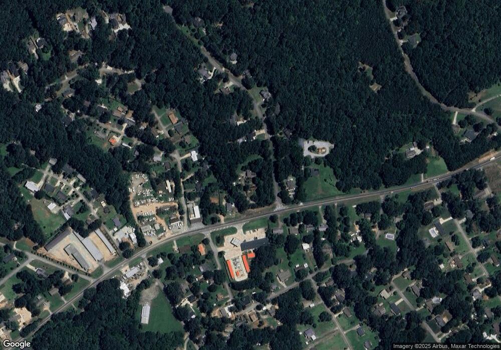
Map
Nearby Homes
- 5119 Ash Cir
- 5320 Sherri Dr
- 5490 Hulsey Cir
- 5471 Dogwood Ln
- 4510 Browns Bridge Rd
- 4451 Flat Creek Dr
- 4469 Flat Creek Dr
- 4134 Heidi Ln
- 4129 Greyfield Bluff Dr
- 4142 Greyfield Bluff Dr
- 4080 Ryckeley Dr
- 4058 Ryckeley Dr
- 4175 Cumberland Point Dr
- 4048 Ryckeley Dr
- 4225 Twin Rivers Dr
- 4075 Fincher Dr
- 5659 Nags Head Cir
- 9395 Edgewater Dr
- 9340 Ann Harbor Dr
- 9155 Greenway Ct
- 5129 Fourth Colony Dr
- 5178 Browns Bridge Rd Unit 81
- 5178 Browns Bridge Rd
- 5141 Fourth Colony Dr
- 5136 Fourth Colony Dr
- 5130 Fourth Colony Dr
- 5208 Trudy Cir
- 5184 Browns Bridge Rd
- 5214 Trudy Cir
- 5142 Fourth Colony Dr
- 5220 Trudy Cir
- 5153 Fourth Colony Dr
- 5145 Browns Bridge Rd
- 5122 Browns Bridge Rd
- 5201 Browns Bridge Rd
- 5133 Browns Bridge Rd
- 5226 Trudy Cir
- 5129 Browns Bridge Rd
- 5150 Fourth Colony Dr
- 5154 Fourth Colony Dr