Estimated Value: $187,000 - $227,000
3
Beds
1
Bath
1,116
Sq Ft
$188/Sq Ft
Est. Value
About This Home
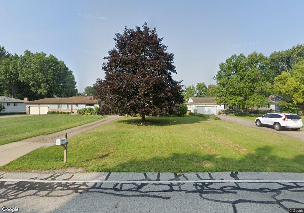
This home is located at 513 Barrett Rd, Berea, OH 44017 and is currently estimated at $210,130, approximately $188 per square foot. 513 Barrett Rd is a home located in Cuyahoga County with nearby schools including Grindstone Elementary School, Berea-Midpark Middle School, and Berea-Midpark High School.
Ownership History
Date
Name
Owned For
Owner Type
Purchase Details
Closed on
Apr 27, 2001
Sold by
Furlong Patrick S and Furlong Kimberly R
Bought by
Eastridge Brian G
Current Estimated Value
Home Financials for this Owner
Home Financials are based on the most recent Mortgage that was taken out on this home.
Original Mortgage
$111,400
Outstanding Balance
$41,597
Interest Rate
7.03%
Estimated Equity
$168,533
Purchase Details
Closed on
Aug 10, 1993
Sold by
Kish Linda S
Bought by
Furlong Patrick S
Purchase Details
Closed on
Aug 8, 1988
Sold by
Jansen Thomas L and Jansen Donna L
Bought by
Kish Linda S
Purchase Details
Closed on
May 9, 1979
Sold by
Forsha Thomas L and J M
Bought by
Jansen Thomas L and Jansen Donna L
Purchase Details
Closed on
Jan 1, 1975
Bought by
Forsha Thomas L and J M
Create a Home Valuation Report for This Property
The Home Valuation Report is an in-depth analysis detailing your home's value as well as a comparison with similar homes in the area
Home Values in the Area
Average Home Value in this Area
Purchase History
| Date | Buyer | Sale Price | Title Company |
|---|---|---|---|
| Eastridge Brian G | $117,900 | Executive Title | |
| Furlong Patrick S | $79,900 | -- | |
| Kish Linda S | $66,900 | -- | |
| Jansen Thomas L | $54,500 | -- | |
| Forsha Thomas L | -- | -- |
Source: Public Records
Mortgage History
| Date | Status | Borrower | Loan Amount |
|---|---|---|---|
| Open | Eastridge Brian G | $111,400 |
Source: Public Records
Tax History
| Year | Tax Paid | Tax Assessment Tax Assessment Total Assessment is a certain percentage of the fair market value that is determined by local assessors to be the total taxable value of land and additions on the property. | Land | Improvement |
|---|---|---|---|---|
| 2024 | $3,667 | $63,350 | $13,860 | $49,490 |
| 2023 | $3,421 | $49,530 | $11,760 | $37,770 |
| 2022 | $3,399 | $49,530 | $11,760 | $37,770 |
| 2021 | $3,370 | $49,530 | $11,760 | $37,770 |
| 2020 | $3,219 | $41,970 | $9,980 | $31,990 |
| 2019 | $3,133 | $119,900 | $28,500 | $91,400 |
| 2018 | $1,559 | $41,970 | $9,980 | $31,990 |
| 2017 | $3,137 | $39,210 | $8,510 | $30,700 |
| 2016 | $3,114 | $39,210 | $8,510 | $30,700 |
| 2015 | $3,097 | $39,210 | $8,510 | $30,700 |
| 2014 | $3,097 | $41,270 | $8,960 | $32,310 |
Source: Public Records
Map
Nearby Homes
- 428 Park Place
- 379 Laurel Dr
- 446 Redwood Dr
- 160 Stonepointe Dr
- 487 Karen Dr
- 725 Shakespeare Dr
- 6574 Burton Dr
- 100 River Rock Way
- 93 W 5th Ave
- 146 Marian Ln
- 628 Lindbergh Blvd
- 404 Crescent Dr
- 160 Marian Ln Unit 6A
- 56 3rd Ave
- 0 River Rd Unit 5169658
- 211 W Bridge St
- 7461 River Rd
- 209 Gibson St
- 216 Kraft St
- 287 Edgewood Dr
Your Personal Tour Guide
Ask me questions while you tour the home.