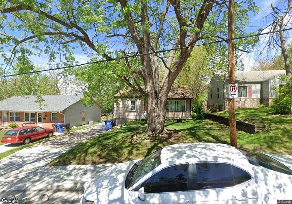
513 Broad St Des Moines, IA 50315
Indianola Hills NeighborhoodEstimated Value: $173,000 - $185,000
2
Beds
1
Bath
800
Sq Ft
$223/Sq Ft
Est. Value
About This Home
This home is located at 513 Broad St, Des Moines, IA 50315 and is currently estimated at $178,369, approximately $222 per square foot. 513 Broad St is a home located in Polk County with nearby schools including Park Avenue Elementary School, Brody Middle School, and Lincoln High School.
Ownership History
Date
Name
Owned For
Owner Type
Purchase Details
Closed on
Apr 16, 2021
Sold by
Barry Daniel W
Bought by
Db Property Llc
Current Estimated Value
Purchase Details
Closed on
Feb 11, 2021
Sold by
Alegiant Llc
Bought by
Barry Daniel W
Home Financials for this Owner
Home Financials are based on the most recent Mortgage that was taken out on this home.
Original Mortgage
$850,000
Interest Rate
3%
Mortgage Type
Credit Line Revolving
Purchase Details
Closed on
Oct 7, 2011
Sold by
The Secretary Of Housing & Urban Develop
Bought by
Alegiant Llc
Purchase Details
Closed on
Apr 12, 2011
Sold by
Webb Diana L
Bought by
Citimortgage Inc
Purchase Details
Closed on
Feb 22, 2011
Sold by
Citimortgage Inc
Bought by
Secretary Of Housing & Urban Development
Create a Home Valuation Report for This Property
The Home Valuation Report is an in-depth analysis detailing your home's value as well as a comparison with similar homes in the area
Home Values in the Area
Average Home Value in this Area
Purchase History
| Date | Buyer | Sale Price | Title Company |
|---|---|---|---|
| Db Property Llc | -- | None Available | |
| Barry Daniel W | -- | None Available | |
| Alegiant Llc | -- | None Available | |
| Citimortgage Inc | $30,853 | None Available | |
| Secretary Of Housing & Urban Development | -- | None Available |
Source: Public Records
Mortgage History
| Date | Status | Borrower | Loan Amount |
|---|---|---|---|
| Previous Owner | Barry Daniel W | $850,000 |
Source: Public Records
Tax History Compared to Growth
Tax History
| Year | Tax Paid | Tax Assessment Tax Assessment Total Assessment is a certain percentage of the fair market value that is determined by local assessors to be the total taxable value of land and additions on the property. | Land | Improvement |
|---|---|---|---|---|
| 2025 | $2,650 | $161,100 | $32,500 | $128,600 |
| 2024 | $2,650 | $134,710 | $28,600 | $106,110 |
| 2023 | $2,458 | $144,600 | $28,600 | $116,000 |
| 2022 | $2,440 | $114,200 | $23,500 | $90,700 |
| 2021 | $2,316 | $114,200 | $23,500 | $90,700 |
| 2020 | $2,406 | $102,700 | $20,900 | $81,800 |
| 2019 | $2,180 | $102,700 | $20,900 | $81,800 |
| 2018 | $2,158 | $91,000 | $18,200 | $72,800 |
| 2017 | $1,996 | $91,000 | $18,200 | $72,800 |
| 2016 | $1,946 | $83,700 | $16,400 | $67,300 |
| 2015 | $1,946 | $83,700 | $16,400 | $67,300 |
| 2014 | $2,186 | $85,400 | $16,400 | $69,000 |
Source: Public Records
Map
Nearby Homes
- 612 Creston Ave
- 303 Virginia Ave
- 820 Creston Ave
- 220 Virginia Ave
- 342 E Pleasant View Dr
- 2455 SW 7th St
- 733 Bell Ave
- 804 Lacona Ave
- 2401 Courtland Dr
- 3308 SW 7th St
- 300 Hughes Ave
- 80 Lacona Ave
- 3224 SW 2nd St
- 00 Kirkwood Ave
- 2720 Glover Ave
- 106 E Creston Ave
- 3314 S Union St
- 916 Davis Ave
- 937 Caulder Ave
- 307 Davis Ave