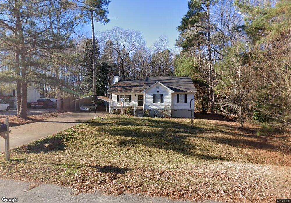
513 N Walnut St Spring Hope, NC 27882
Estimated Value: $153,000 - $230,000
3
Beds
2
Baths
1,130
Sq Ft
$173/Sq Ft
Est. Value
About This Home
This home is located at 513 N Walnut St, Spring Hope, NC 27882 and is currently estimated at $195,939, approximately $173 per square foot. 513 N Walnut St is a home located in Nash County with nearby schools including Spring Hope Elementary School, Southern Nash Middle School, and Southern Nash High School.
Ownership History
Date
Name
Owned For
Owner Type
Purchase Details
Closed on
Feb 12, 2018
Sold by
Ngo Hien Thi and Ngo Hien This
Bought by
Quinn Edith
Current Estimated Value
Purchase Details
Closed on
Apr 25, 2012
Sold by
Vannguyen Khoa
Bought by
Ngo Hien This
Purchase Details
Closed on
Apr 12, 2005
Sold by
Highland Company Of Rocky Mount Inc
Bought by
Vanvannguyen Ngo Van and Nguyen Khoa Van
Home Financials for this Owner
Home Financials are based on the most recent Mortgage that was taken out on this home.
Original Mortgage
$66,400
Interest Rate
5.88%
Mortgage Type
New Conventional
Create a Home Valuation Report for This Property
The Home Valuation Report is an in-depth analysis detailing your home's value as well as a comparison with similar homes in the area
Purchase History
| Date | Buyer | Sale Price | Title Company |
|---|---|---|---|
| Quinn Edith | $65,000 | None Available | |
| Ngo Hien This | -- | None Available | |
| Vanvannguyen Ngo Van | -- | None Available |
Source: Public Records
Mortgage History
| Date | Status | Borrower | Loan Amount |
|---|---|---|---|
| Previous Owner | Vanvannguyen Ngo Van | $66,400 |
Source: Public Records
Tax History
| Year | Tax Paid | Tax Assessment Tax Assessment Total Assessment is a certain percentage of the fair market value that is determined by local assessors to be the total taxable value of land and additions on the property. | Land | Improvement |
|---|---|---|---|---|
| 2025 | $2,016 | $144,000 | $25,000 | $119,000 |
| 2024 | $2,016 | $90,720 | $12,680 | $78,040 |
| 2023 | $699 | $90,720 | $0 | $0 |
| 2022 | $699 | $90,720 | $12,680 | $78,040 |
| 2021 | $699 | $90,720 | $12,680 | $78,040 |
| 2020 | $699 | $90,720 | $12,680 | $78,040 |
| 2019 | $699 | $90,720 | $12,680 | $78,040 |
| 2018 | $699 | $90,720 | $0 | $0 |
| 2017 | $689 | $90,720 | $0 | $0 |
| 2015 | $688 | $90,530 | $0 | $0 |
| 2014 | $688 | $90,530 | $0 | $0 |
Source: Public Records
Map
Nearby Homes
- 212 Mclean St
- 222 E Nash St
- 223 E Railroad St
- 927 Dassault Ln
- 1010 Bombardier Aly
- 987 Bombardier Aly
- 1011 Bombardier Aly
- 874 Embraer Way
- 906 Embraer Way
- 95 Autumnwood Ln
- 930 Embraer Way
- 7315 Beechcraft Ln
- 7332 Beechcraft Ln
- 512 W Nash St
- 939 Embraer Way
- 955 Embraer Way
- 971 Embraer Way
- 983 Embraer Way
- 600 S Pine St
- 103 Virginia St
- 513 N Walnut St
- 509 N Walnut St
- 517 N Walnut St
- 509 Walnut Ct
- 517 N Walnut St
- 508 Walnut Ct
- 512 Walnut Ct
- 507 N Walnut St
- 507 Walnut Ct
- 601 N Walnut St
- 600 N Walnut St
- 600 N Walnut St
- 506 Walnut Ct
- 605 N Walnut St
- 104 Cherrington Ct
- 505 Walnut Ct
- 605 N Walnut St
- 604 N Walnut St
- 105 Cherrington Ct
- 503 Walnut Ct
Your Personal Tour Guide
Ask me questions while you tour the home.