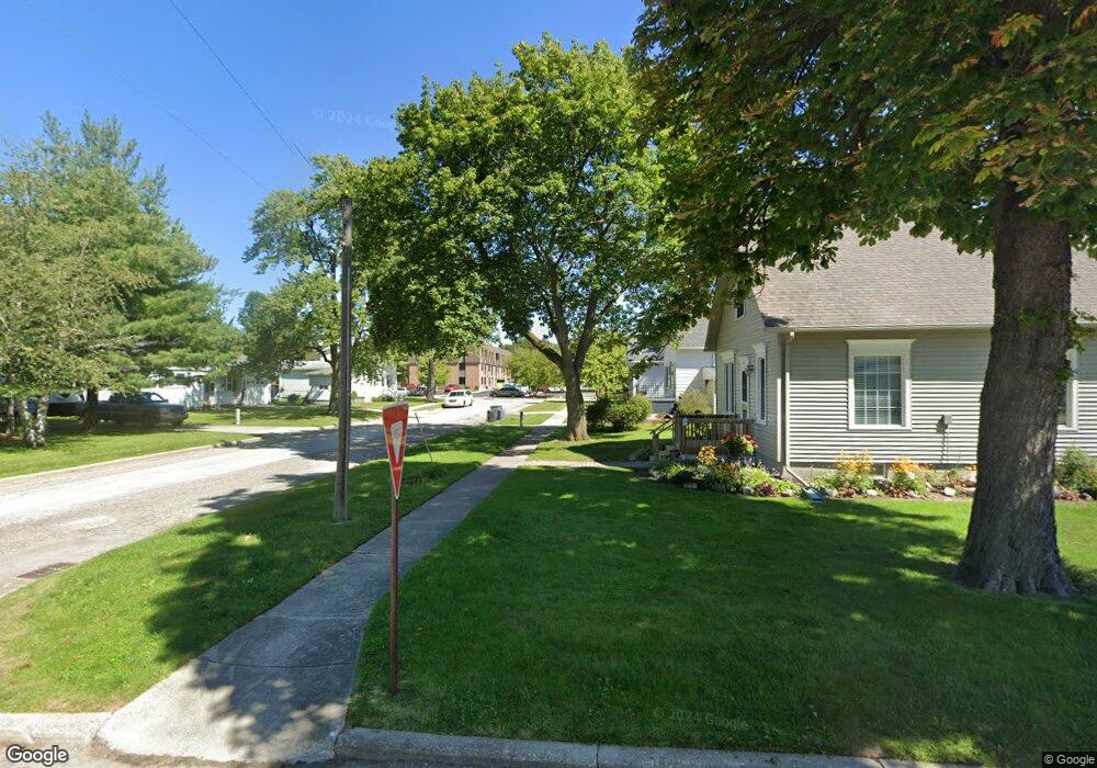
513 S 4th St Saint Clair, MI 48079
Estimated Value: $174,000 - $224,000
3
Beds
1
Bath
1,456
Sq Ft
$134/Sq Ft
Est. Value
About This Home
This home is located at 513 S 4th St, Saint Clair, MI 48079 and is currently estimated at $195,483, approximately $134 per square foot. 513 S 4th St is a home located in St. Clair County with nearby schools including Pine River Elementary School, St. Clair Middle School, and St. Clair High School.
Ownership History
Date
Name
Owned For
Owner Type
Purchase Details
Closed on
Jun 30, 2016
Sold by
Coughlin Patrick T and Coughlin Marga
Bought by
Moebs Roy T
Current Estimated Value
Purchase Details
Closed on
Aug 12, 2010
Sold by
Pendleton Robin L
Bought by
Federal National Mortgage Association
Purchase Details
Closed on
Mar 30, 2007
Sold by
Slota Jeffrey L and Slota Patricia
Bought by
Pendleton Robin L
Create a Home Valuation Report for This Property
The Home Valuation Report is an in-depth analysis detailing your home's value as well as a comparison with similar homes in the area
Home Values in the Area
Average Home Value in this Area
Purchase History
| Date | Buyer | Sale Price | Title Company |
|---|---|---|---|
| Moebs Roy T | -- | Attorney | |
| Moebs Roy T | -- | Attorney | |
| Federal National Mortgage Association | $111,030 | None Available | |
| Federal National Mortgage Association | $111,030 | None Available | |
| Pendleton Robin L | $113,000 | Metropolitan Title Company | |
| Pendleton Robin L | $113,000 | Metropolitan Title Company |
Source: Public Records
Tax History
| Year | Tax Paid | Tax Assessment Tax Assessment Total Assessment is a certain percentage of the fair market value that is determined by local assessors to be the total taxable value of land and additions on the property. | Land | Improvement |
|---|---|---|---|---|
| 2025 | $1,849 | $77,200 | $0 | $0 |
| 2024 | $1,799 | $71,400 | $0 | $0 |
| 2023 | $1,687 | $66,300 | $0 | $0 |
| 2022 | $1,857 | $59,600 | $0 | $0 |
| 2020 | $1,756 | $51,200 | $51,200 | $0 |
| 2019 | $1,658 | $46,100 | $0 | $0 |
| 2018 | $1,668 | $44,000 | $0 | $0 |
| 2017 | $1,749 | $40,400 | $0 | $0 |
| 2016 | $1,950 | $40,400 | $0 | $0 |
| 2015 | -- | $40,600 | $40,600 | $0 |
| 2014 | -- | $37,800 | $37,800 | $0 |
| 2013 | -- | $34,100 | $0 | $0 |
Source: Public Records
Map
Nearby Homes
- 402 S 5th St
- 206 S 4th St
- TBD Range
- 715 Thornapple St
- 920 Clinton Ave
- 412 Orchard St
- 409 N 5th St
- 521 N 6th St
- 1207 Clinton Ave
- 606 N 6th St
- 1007 Henry St
- 592 Snowbird Cir E
- 1423 S Riverside Ave
- 1826 Riley Rd
- 1936 Shelldrake Ln Unit Lot 29
- 1932 Sheldrake Ln Unit 30
- 1551 Oakland Ave
- 1924 Shelldrake Ln Unit 32
- 239 Shelldrake Ln Unit 40
- 740 Highland Dr
- 317 Witherell St
- 309 Witherell St
- 316 Witherell St
- 312 Witherell St
- 303 Witherell St
- 416 S 3rd St
- 308 Clinton Ave
- 314 Clinton Ave
- 500 S 4th St
- 506 S 4th St
- 400 Witherell St
- 302 Clinton Ave
- 315 Cass St
- 309 Cass St
- 402 Clinton Ave
- 303 Cass St
- 406 S 4th St
- 409 Witherell St
- 410 Witherell St
- 400 S 4th St
Your Personal Tour Guide
Ask me questions while you tour the home.