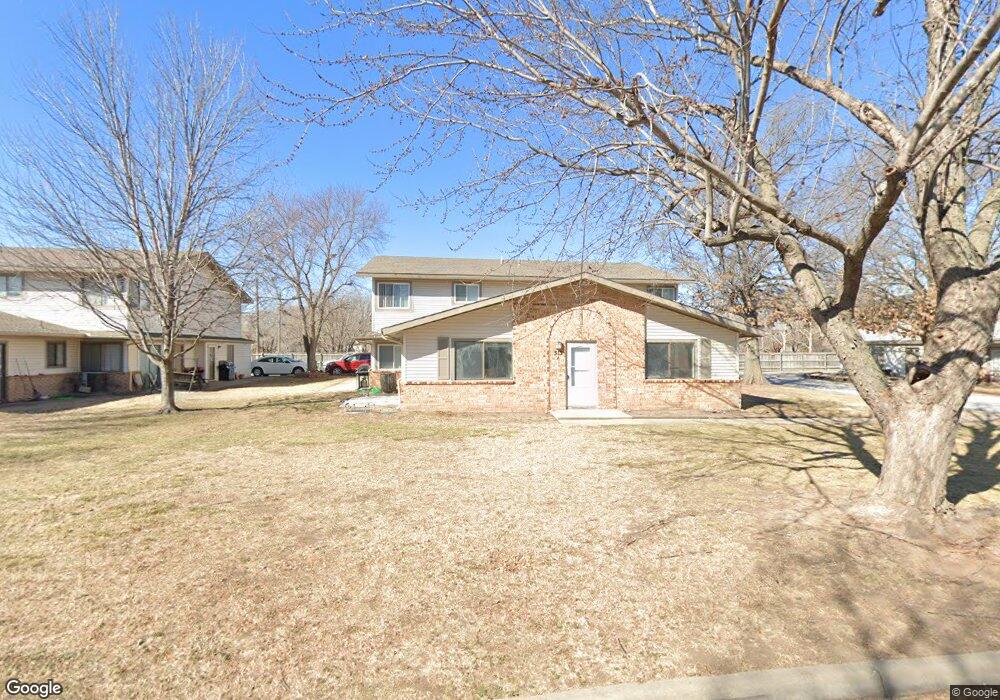
513 S Paula Ave Unit D Wichita, KS 67209
West Wichita NeighborhoodEstimated Value: $110,791 - $119,000
2
Beds
1
Bath
1,056
Sq Ft
$109/Sq Ft
Est. Value
About This Home
This home is located at 513 S Paula Ave Unit D, Wichita, KS 67209 and is currently estimated at $114,896, approximately $108 per square foot. 513 S Paula Ave Unit D is a home located in Sedgwick County with nearby schools including Benton Elementary School, Wilbur Middle School, and Wichita Northwest High School.
Ownership History
Date
Name
Owned For
Owner Type
Purchase Details
Closed on
Aug 19, 2025
Sold by
Karst Investments Llc
Bought by
Lynn Carlsen And Bethany L Loomis Living Trus
Current Estimated Value
Purchase Details
Closed on
Apr 25, 2025
Sold by
Nanny Larry F and Alfaro Denise R
Bought by
Karst Investments Llc
Home Financials for this Owner
Home Financials are based on the most recent Mortgage that was taken out on this home.
Original Mortgage
$52,000
Interest Rate
6.65%
Mortgage Type
New Conventional
Create a Home Valuation Report for This Property
The Home Valuation Report is an in-depth analysis detailing your home's value as well as a comparison with similar homes in the area
Home Values in the Area
Average Home Value in this Area
Purchase History
| Date | Buyer | Sale Price | Title Company |
|---|---|---|---|
| Lynn Carlsen And Bethany L Loomis Living Trus | -- | Security 1St Title | |
| Karst Investments Llc | -- | Kansas Secured Title |
Source: Public Records
Mortgage History
| Date | Status | Borrower | Loan Amount |
|---|---|---|---|
| Previous Owner | Karst Investments Llc | $52,000 |
Source: Public Records
Tax History Compared to Growth
Tax History
| Year | Tax Paid | Tax Assessment Tax Assessment Total Assessment is a certain percentage of the fair market value that is determined by local assessors to be the total taxable value of land and additions on the property. | Land | Improvement |
|---|---|---|---|---|
| 2025 | $946 | $10,316 | $1,415 | $8,901 |
| 2023 | $946 | $8,959 | $851 | $8,108 |
| 2022 | $780 | $7,498 | $805 | $6,693 |
| 2021 | $783 | $7,073 | $805 | $6,268 |
| 2020 | $787 | $7,073 | $805 | $6,268 |
| 2019 | $764 | $6,866 | $805 | $6,061 |
| 2018 | $734 | $6,601 | $920 | $5,681 |
| 2017 | $784 | $0 | $0 | $0 |
| 2016 | $750 | $0 | $0 | $0 |
| 2015 | -- | $0 | $0 | $0 |
| 2014 | -- | $0 | $0 | $0 |
Source: Public Records
Map
Nearby Homes
- 333 S Tyler Rd
- 443 S Callahan Dr
- 525 S Woodchuck Ln
- 7925 W University St
- 144 S Muirfield Cir
- 119 S Muirfield St
- 300 N Wood Ave
- 427 N Pamela Ave
- 433 N Westfield Ct
- 10504 W Texas St
- 9835 W Tee Ln
- 10114 W Carr St
- 7200 W 2nd St N
- 238 N Mesa St
- 10322 W Merton Ct
- 6729 W Loconia Cir
- 202 S Mars St
- 1441 S Lark Ln
- 6600 W University St
- 7326 W Frazier Ln
- 513 S Paula Ave Unit B
- 513 S Paula Ave
- 513 S Paula Ave
- 523 S Paula Ave Unit A
- 523 S Paula Ave Unit D
- 523 S Paula Ave
- 523 S Paula Ave Unit B
- 523 S Paula Ave Unit A
- 523 S Paula Ave
- 523 S Paula Ave Unit B
- 503 S Paula Ave Unit C
- 503 S Paula Ave
- 503 S Paula Ave
- 503 S Paula Ave
- 503 S Paula Ave Unit D
- 518 S Paula Ave
- 528 S Paula Ave
- 533 S Paula Ave Unit A
- 533 S Paula Ave
- 533 S Paula Ave Unit B