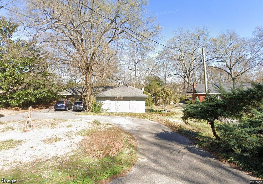
5130 Barry Rd Memphis, TN 38117
East Memphis NeighborhoodEstimated Value: $551,000 - $598,000
4
Beds
3
Baths
3,540
Sq Ft
$160/Sq Ft
Est. Value
About This Home
This home is located at 5130 Barry Rd, Memphis, TN 38117 and is currently estimated at $567,561, approximately $160 per square foot. 5130 Barry Rd is a home located in Shelby County with nearby schools including White Station Elementary School, White Station High, and White Station Middle.
Ownership History
Date
Name
Owned For
Owner Type
Purchase Details
Closed on
May 18, 1998
Sold by
Jensen Lawrence K and Jensen Leesa B
Bought by
Fleet Glenn A and Hofmann Polly A
Current Estimated Value
Home Financials for this Owner
Home Financials are based on the most recent Mortgage that was taken out on this home.
Original Mortgage
$165,000
Interest Rate
7.04%
Create a Home Valuation Report for This Property
The Home Valuation Report is an in-depth analysis detailing your home's value as well as a comparison with similar homes in the area
Home Values in the Area
Average Home Value in this Area
Purchase History
| Date | Buyer | Sale Price | Title Company |
|---|---|---|---|
| Fleet Glenn A | $276,500 | -- | |
| Fleet Glenn A | $276,500 | -- |
Source: Public Records
Mortgage History
| Date | Status | Borrower | Loan Amount |
|---|---|---|---|
| Closed | Fleet Glenn A | $165,000 |
Source: Public Records
Tax History
| Year | Tax Paid | Tax Assessment Tax Assessment Total Assessment is a certain percentage of the fair market value that is determined by local assessors to be the total taxable value of land and additions on the property. | Land | Improvement |
|---|---|---|---|---|
| 2025 | $3,576 | $135,425 | $73,850 | $61,575 |
| 2024 | $3,576 | $105,500 | $53,950 | $51,550 |
| 2023 | $6,427 | $105,500 | $53,950 | $51,550 |
| 2022 | $6,427 | $105,500 | $53,950 | $51,550 |
| 2021 | $7,539 | $122,325 | $53,950 | $68,375 |
| 2020 | $6,340 | $87,500 | $75,000 | $12,500 |
| 2019 | $6,340 | $87,500 | $75,000 | $12,500 |
| 2018 | $7,517 | $116,550 | $75,000 | $41,550 |
| 2017 | $4,790 | $116,550 | $75,000 | $41,550 |
| 2016 | $4,446 | $101,750 | $0 | $0 |
| 2014 | $4,446 | $101,750 | $0 | $0 |
Source: Public Records
Map
Nearby Homes
- 5155 Shady Grove Rd
- 65 Laverne Ln
- 5188 Gwynne Rd
- 344 Greenway Place
- 5099 Walnut Grove Rd
- 5264 S Angela Rd
- 5280 Cole Rd
- 5207 Juniper Ave
- 35 W Bendel Cir
- 4910 Cole Rd
- 326 Saint Nick Dr
- 472 Jack Kramer Dr
- 5330 Walnut Grove Rd
- 5285 Normandy Rd
- 5385 Walnut Grove Rd
- 4948 Fairfield Cir
- 5429 Walnut Grove Rd
- 364 Clawson Cove
- 4935 Robindale Ln
- 4792 Whitehall Cove
- 5120 Barry Rd
- 5140 Barry Rd
- 5110 Barry Rd
- 5150 Barry Rd
- 5135 Barry Rd
- 203 Fleur de Lis Cove
- 5125 Barry Rd
- 5160 Barry Rd
- 211 Fleur de Lis Cove
- 5145 Barry Rd
- 5115 Barry Rd
- 5100 Barry Rd
- 5168 Barry Rd
- 5130 Shady Grove Rd
- 217 Fleur de Lis Cove
- 204 Fleur de Lis Cove
- 5096 Shady Grove Rd
- 5118 Shady Grove Rd
- 5120 Shady Grove Rd
- 0 Greenway Rd
Your Personal Tour Guide
Ask me questions while you tour the home.