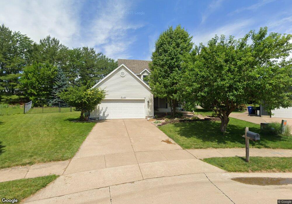
5130 Woodland Ct Davenport, IA 52807
North Side NeighborhoodEstimated Value: $339,000 - $361,908
3
Beds
5
Baths
2,146
Sq Ft
$163/Sq Ft
Est. Value
About This Home
This home is located at 5130 Woodland Ct, Davenport, IA 52807 and is currently estimated at $350,227, approximately $163 per square foot. 5130 Woodland Ct is a home located in Scott County with nearby schools including Eisenhower Elementary School, Sudlow Intermediate School, and Central High School.
Ownership History
Date
Name
Owned For
Owner Type
Purchase Details
Closed on
Jun 3, 2021
Sold by
Votroubek Joseph Kim
Bought by
Huber Aaron M and Supplee Kathryn
Current Estimated Value
Home Financials for this Owner
Home Financials are based on the most recent Mortgage that was taken out on this home.
Original Mortgage
$28,300
Interest Rate
2.9%
Mortgage Type
New Conventional
Create a Home Valuation Report for This Property
The Home Valuation Report is an in-depth analysis detailing your home's value as well as a comparison with similar homes in the area
Home Values in the Area
Average Home Value in this Area
Purchase History
| Date | Buyer | Sale Price | Title Company |
|---|---|---|---|
| Huber Aaron M | $283,000 | None Listed On Document |
Source: Public Records
Mortgage History
| Date | Status | Borrower | Loan Amount |
|---|---|---|---|
| Closed | Huber Aaron M | $28,300 | |
| Open | Huber Aaron M | $254,700 |
Source: Public Records
Tax History Compared to Growth
Tax History
| Year | Tax Paid | Tax Assessment Tax Assessment Total Assessment is a certain percentage of the fair market value that is determined by local assessors to be the total taxable value of land and additions on the property. | Land | Improvement |
|---|---|---|---|---|
| 2024 | $5,456 | $312,840 | $44,020 | $268,820 |
| 2023 | $6,688 | $312,840 | $44,020 | $268,820 |
| 2022 | $6,027 | $281,080 | $39,830 | $241,250 |
| 2021 | $5,798 | $270,210 | $39,830 | $230,380 |
| 2020 | $5,668 | $269,680 | $39,830 | $229,850 |
| 2019 | $5,422 | $250,160 | $39,830 | $210,330 |
| 2018 | $5,302 | $250,160 | $39,830 | $210,330 |
| 2017 | $1,391 | $250,160 | $39,830 | $210,330 |
| 2016 | $4,956 | $0 | $0 | $0 |
| 2015 | $4,956 | $0 | $0 | $0 |
| 2014 | $4,920 | $0 | $0 | $0 |
| 2013 | $4,830 | $0 | $0 | $0 |
| 2012 | -- | $223,990 | $37,900 | $186,090 |
Source: Public Records
Map
Nearby Homes
- 2422 E 51st St Unit E
- 2514 E 51st St Unit A
- 2403 E 51st St Unit 102E
- 4919 Lorton Ave
- 2730 E 58th St
- 6466 Fairhaven Ct
- 5811 Duggleby Ave
- 2105 E 46th St
- 1704 Stone Gate Cir
- 5805 Indigo Ave
- 5809 Indigo Ave
- 5806 Indigo Ave
- 5810 Indigo Ave
- 1811 Katie Ct
- 2006 E 59th Ct
- 6107 Duggleby Ave
- 6103 Thor Ave
- 6108 Thor Ave
- 6109 Thor Ave
- 6112 Thor Ave
- 5134 Woodland Ct
- 5128 Woodland Ct
- 2513 E 53rd St
- 2513 E 53rd St
- 2509 E 53rd St Unit 1702
- 2509 E 53rd St
- 2507 E 53rd St Unit 1702
- 2507 E 53rd St
- 2489 E 53rd St
- 2489 E 53rd St Unit 1702
- 5267 Jersey Ridge Rd Unit 2
- 5267 Jersey Ridge Rd Unit 1&2
- 5267 Jersey Ridge Rd
- 2519 E 53rd St
- 5136 Woodland Ct
- 5126 Woodland Ct
- 2422 E 51st St Unit A
- 2422 E 51st St Unit B
- 2422 E 51st St Unit D
- 2422 E 51st St