5132 E Pearson Bluff Ln Springfield, MO 65802
Southeast Springfield NeighborhoodEstimated Value: $604,000 - $1,126,000
4
Beds
4
Baths
3,899
Sq Ft
$215/Sq Ft
Est. Value
About This Home
This home is located at 5132 E Pearson Bluff Ln, Springfield, MO 65802 and is currently estimated at $836,574, approximately $214 per square foot. 5132 E Pearson Bluff Ln is a home with nearby schools including Hickory Hills K-8 School and Glendale High School.
Ownership History
Date
Name
Owned For
Owner Type
Purchase Details
Closed on
Jan 6, 2012
Sold by
Mcbride Robert W and Mcbride Amy C
Bought by
Headley Michael G and Headley Jill
Current Estimated Value
Purchase Details
Closed on
Dec 16, 2011
Sold by
Trac 1 Llc and Mcbride Robert W
Bought by
Stout Thomas R and Stout Pamela A
Create a Home Valuation Report for This Property
The Home Valuation Report is an in-depth analysis detailing your home's value as well as a comparison with similar homes in the area
Home Values in the Area
Average Home Value in this Area
Purchase History
| Date | Buyer | Sale Price | Title Company |
|---|---|---|---|
| Headley Michael G | -- | None Available | |
| Stout Thomas R | -- | None Available |
Source: Public Records
Tax History
| Year | Tax Paid | Tax Assessment Tax Assessment Total Assessment is a certain percentage of the fair market value that is determined by local assessors to be the total taxable value of land and additions on the property. | Land | Improvement |
|---|---|---|---|---|
| 2025 | $7,978 | $151,510 | $13,660 | $137,850 |
| 2024 | $7,978 | $141,250 | $11,290 | $129,960 |
| 2023 | $8,016 | $141,250 | $11,290 | $129,960 |
| 2022 | $6,944 | $119,000 | $11,290 | $107,710 |
| 2021 | $6,575 | $119,000 | $11,290 | $107,710 |
| 2020 | $6,254 | $107,730 | $11,290 | $96,440 |
| 2019 | $6,088 | $107,730 | $11,290 | $96,440 |
| 2018 | $6,036 | $106,710 | $11,290 | $95,420 |
| 2017 | $5,978 | $98,420 | $11,290 | $87,130 |
| 2016 | $5,512 | $98,420 | $11,290 | $87,130 |
| 2015 | $5,466 | $98,420 | $11,290 | $87,130 |
| 2014 | $4,323 | $70 | $70 | $0 |
Source: Public Records
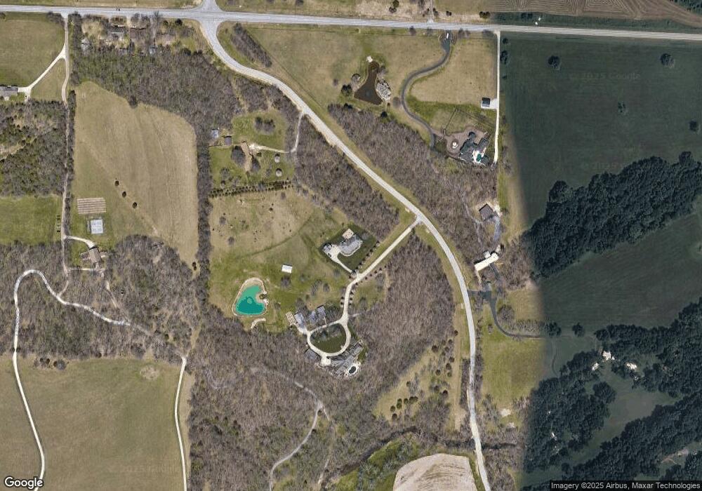
Map
Nearby Homes
- Lot 3 Morningwood
- Lot 4 Wonderview
- Lot 1 Morningwood
- Lot 2 Morningwood
- Lot 19 Summertime St
- Lot 18 Wonderview Ln
- Lot 39 Summertime St
- Lot 5 Wonderview Ln
- Lot 31 Wonderview Ln
- Lot 6 Wonderview Ln
- Lot 23 Summertime St
- Lot 28 Wonderview Ln
- Lot 21 Summertime St
- Lot 14 Wonderview Ln
- Lot 29 Wonderview Ln
- Lot 64 Summertime St
- Lot 22 Summertime St
- Lot 59 Beland Blvd
- Lot 54 Summertime St
- Lot 42 Beland Blvd
- 0 N Vansen Ln Unit T 2 11201697
- 0 N Vansen Ln Unit 11116578
- 5122 E Pearson Bluff Ln
- 1367 N Vansen Ln
- 1260 N Farm Road 199
- 5200 E Division St
- 1366 N Howell Ln
- 5100 E Division St
- 4984 E State Highway Yy
- 4984 E Division St
- 4958 E State Highway Yy
- 4934 E State Highway Yy
- 1000 N Stones Throw Ln
- 5249 E Foxgrove Ln
- 1401 N Stones Throw Ln
- 5325 E Foxgrove Ln
- 1609 N Farm Road 197
- 945 N Farm Road 199
- 940 N Farm Road 199
- 1612 N Farm Road 197
Your Personal Tour Guide
Ask me questions while you tour the home.