5133 135th St South Haven, MN 55382
Estimated Value: $263,000 - $337,000
3
Beds
1
Bath
1,344
Sq Ft
$218/Sq Ft
Est. Value
About This Home
This home is located at 5133 135th St, South Haven, MN 55382 and is currently estimated at $292,802, approximately $217 per square foot. 5133 135th St is a home with nearby schools including Kimball Elementary School and Kimball High School.
Ownership History
Date
Name
Owned For
Owner Type
Purchase Details
Closed on
Dec 28, 2018
Sold by
Nolan Steve F and Nolan Julie M
Bought by
Nolan Joshua J and Nolan Paige
Current Estimated Value
Purchase Details
Closed on
Dec 10, 2007
Sold by
Lorenz William Alan and Lorenz Rebecca Ann
Bought by
Nolan Steve F and Nolan Julie M
Purchase Details
Closed on
Sep 18, 2000
Sold by
Knudson Russell
Bought by
Anderson Angeline
Purchase Details
Closed on
Apr 15, 1997
Sold by
Knudson
Bought by
Anderson
Create a Home Valuation Report for This Property
The Home Valuation Report is an in-depth analysis detailing your home's value as well as a comparison with similar homes in the area
Home Values in the Area
Average Home Value in this Area
Purchase History
| Date | Buyer | Sale Price | Title Company |
|---|---|---|---|
| Nolan Joshua J | $150,000 | -- | |
| Nolan Steve F | $40,000 | -- | |
| Anderson Angeline | $16,000 | -- | |
| Anderson | $16,000 | -- |
Source: Public Records
Tax History Compared to Growth
Tax History
| Year | Tax Paid | Tax Assessment Tax Assessment Total Assessment is a certain percentage of the fair market value that is determined by local assessors to be the total taxable value of land and additions on the property. | Land | Improvement |
|---|---|---|---|---|
| 2025 | $2,390 | $284,000 | $38,600 | $245,400 |
| 2024 | $2,390 | $279,000 | $38,600 | $240,400 |
| 2023 | $2,268 | $276,000 | $38,600 | $237,400 |
| 2022 | $1,964 | $198,300 | $32,100 | $166,200 |
| 2021 | $2,078 | $198,300 | $32,100 | $166,200 |
| 2020 | $1,978 | $196,400 | $32,100 | $164,300 |
| 2019 | $2,014 | $186,300 | $29,500 | $156,800 |
| 2018 | $2,054 | $165,900 | $27,400 | $138,500 |
| 2017 | $1,956 | $148,400 | $25,400 | $123,000 |
| 2016 | $1,822 | $0 | $0 | $0 |
| 2015 | $1,726 | $0 | $0 | $0 |
| 2014 | -- | $0 | $0 | $0 |
Source: Public Records
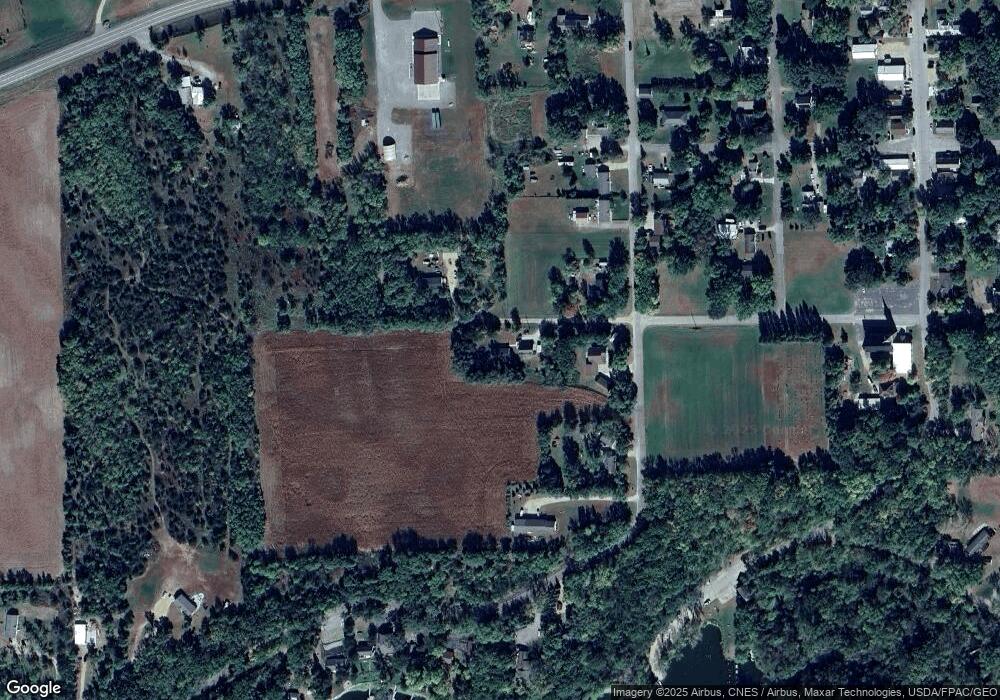
Map
Nearby Homes
- 10848 Porter Ave NW
- 16698 109th St NW
- 14XXX County Road 44
- 10399 Reardon Ave NW
- 10368 Oliver Ave NW
- 13943 102nd St NW
- 13934 101st St NW
- 8537 Pittman Ave NW
- 13496 Campfire Cir
- 125 Cedar St SE
- 148 Cedar St SE
- 118 Cedar St SE
- 2060 Clearwater Forest Dr
- 847 Walnut Ave SE
- South Tract A TBD County Road 45
- North Tract B TBD County Road 45
- 226 Quill St NE
- 0 80th St NW
- 451 Linden Ave E
- 351 Publishers Dr NE
- 13458 51st Ave
- 5164 135th St
- 13503 51st Ave
- 13415 51st Ave
- 13397 51st Ave
- 13533 51st Ave
- 13529 51st Ave
- 13551 51st Ave
- 5012 135th St
- 13572 51st Ave
- 13527 50th Ave
- 5045 136th St
- 13557 50th Ave
- 5147 Brookfield Rd
- 5054 136th St
- 5125 Brookfield Rd
- 5193 Brookfield Rd
- 5173 Brookfield Rd
- 5155 Brookfield Rd
- 5203 Brookfield Rd