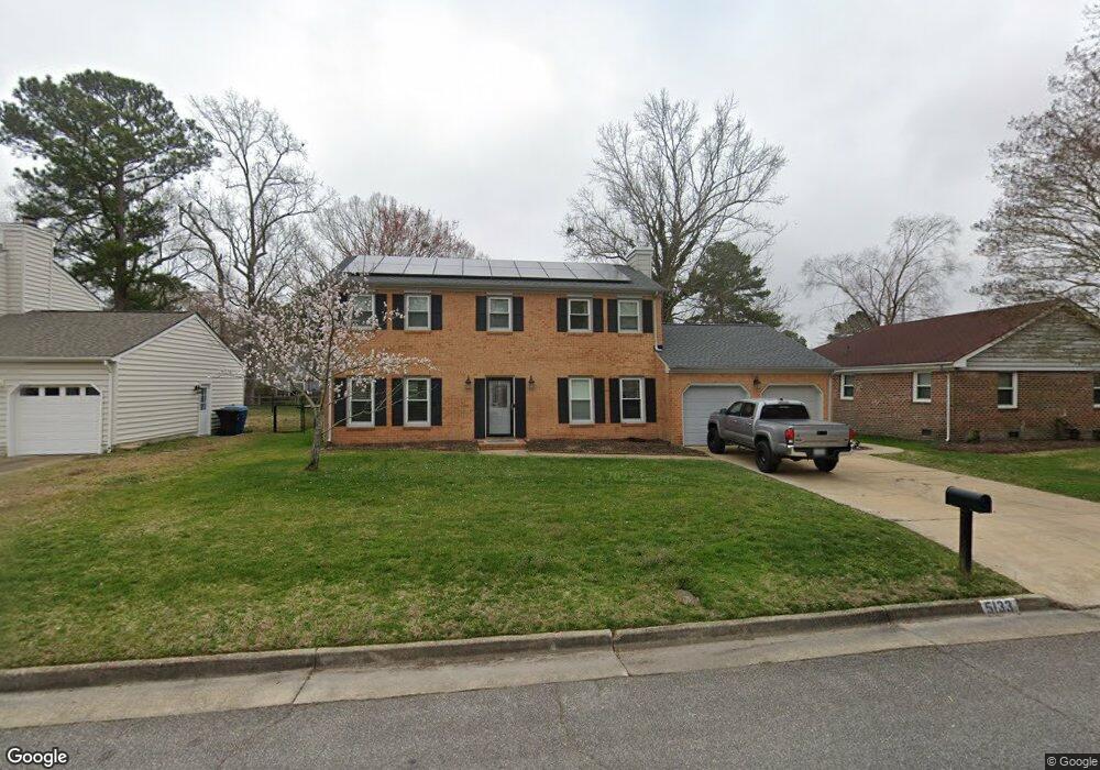
5133 Brockie St Virginia Beach, VA 23464
Brigadoon NeighborhoodEstimated Value: $458,712 - $474,000
4
Beds
3
Baths
2,064
Sq Ft
$227/Sq Ft
Est. Value
About This Home
This home is located at 5133 Brockie St, Virginia Beach, VA 23464 and is currently estimated at $468,678, approximately $227 per square foot. 5133 Brockie St is a home located in Virginia Beach City with nearby schools including Centerville Elementary, Brandon Middle School, and Tallwood High School.
Ownership History
Date
Name
Owned For
Owner Type
Purchase Details
Closed on
Jun 21, 2018
Sold by
Moulton David D and Moulton Marion Werner
Bought by
Martin Michael A and Mccracken Jennifer A
Current Estimated Value
Home Financials for this Owner
Home Financials are based on the most recent Mortgage that was taken out on this home.
Original Mortgage
$320,512
Outstanding Balance
$277,810
Interest Rate
4.6%
Mortgage Type
New Conventional
Estimated Equity
$190,868
Create a Home Valuation Report for This Property
The Home Valuation Report is an in-depth analysis detailing your home's value as well as a comparison with similar homes in the area
Home Values in the Area
Average Home Value in this Area
Purchase History
| Date | Buyer | Sale Price | Title Company |
|---|---|---|---|
| Martin Michael A | $315,000 | Attorney |
Source: Public Records
Mortgage History
| Date | Status | Borrower | Loan Amount |
|---|---|---|---|
| Open | Martin Michael A | $320,512 |
Source: Public Records
Tax History Compared to Growth
Tax History
| Year | Tax Paid | Tax Assessment Tax Assessment Total Assessment is a certain percentage of the fair market value that is determined by local assessors to be the total taxable value of land and additions on the property. | Land | Improvement |
|---|---|---|---|---|
| 2025 | $3,680 | $404,400 | $157,500 | $246,900 |
| 2024 | $3,680 | $379,400 | $150,000 | $229,400 |
| 2023 | $3,558 | $359,400 | $130,000 | $229,400 |
| 2022 | $3,310 | $334,300 | $120,000 | $214,300 |
| 2021 | $3,114 | $314,500 | $104,000 | $210,500 |
| 2020 | $2,944 | $289,300 | $93,000 | $196,300 |
| 2019 | $2,944 | $254,400 | $88,000 | $166,400 |
| 2018 | $2,550 | $254,400 | $88,000 | $166,400 |
| 2017 | $2,488 | $248,200 | $88,000 | $160,200 |
| 2016 | $2,498 | $252,300 | $88,000 | $164,300 |
| 2015 | $2,496 | $252,100 | $87,800 | $164,300 |
| 2014 | $2,083 | $235,800 | $101,300 | $134,500 |
Source: Public Records
Map
Nearby Homes
- 5217 Brockie St
- 5204 Brockie St
- 1632 Black Watch Ln
- 1652 Ashton Dr
- 1721 Dancers Ct
- 2165 Bizzone Cir
- 900 Murphy Ln
- 5441 Brookfield Dr
- 900 Whitbeck Ct
- 1716 Chilhowie Cir
- 5545 MacGuffie St
- 909 Daniel Maloney Dr
- 912 Dallas Ct
- 957 Avery Way
- 1969 Lisa Ct
- 5593 Stonehaven Dr
- 1916 Vince Rd
- 5031 Indian River Rd
- 1713 Zimmerman Ct
- 1012 Fairborn Ct
- 5129 Brockie St
- 5137 Brockie St
- 1604 Angus Ct
- 5132 Brockie St
- 1605 Angus Ct
- 5125 Brockie St
- 5141 Brockie St
- 5136 Brockie St
- 5304 Angus Dr
- 5128 Brockie St
- 5140 Brockie St
- 5145 Brockie St
- 5121 Brockie St
- 5120 Dundee Ln
- 5144 Brockie St
- 5124 Dundee Ln
- 5340 Angus Dr
- 5336 Angus Dr
- 5120 Brockie St
- 5149 Brockie St