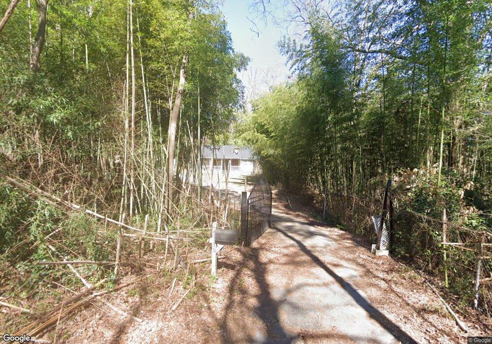
5135 5th St Morrow, GA 30260
Estimated Value: $146,000 - $216,000
2
Beds
1
Bath
1,596
Sq Ft
$112/Sq Ft
Est. Value
About This Home
This home is located at 5135 5th St, Morrow, GA 30260 and is currently estimated at $178,301, approximately $111 per square foot. 5135 5th St is a home located in Clayton County with nearby schools including Thurgood Marshall Elementary School, Morrow Middle School, and Morrow High School.
Ownership History
Date
Name
Owned For
Owner Type
Purchase Details
Closed on
Oct 4, 2021
Sold by
Ashe Robert
Bought by
Williams Ann Marina
Current Estimated Value
Purchase Details
Closed on
Jun 14, 2002
Sold by
Borom Satsuki and Borom Henry D
Bought by
Ahse Robert
Home Financials for this Owner
Home Financials are based on the most recent Mortgage that was taken out on this home.
Original Mortgage
$112,000
Interest Rate
9.57%
Mortgage Type
New Conventional
Purchase Details
Closed on
Dec 28, 1995
Sold by
Gilvin Mary J and Amason Gwendolyn L
Bought by
Borom Henry D Satsuki
Create a Home Valuation Report for This Property
The Home Valuation Report is an in-depth analysis detailing your home's value as well as a comparison with similar homes in the area
Purchase History
| Date | Buyer | Sale Price | Title Company |
|---|---|---|---|
| Williams Ann Marina | $135,000 | -- | |
| Ahse Robert | $112,000 | -- | |
| Borom Henry D Satsuki | $7,000 | -- |
Source: Public Records
Mortgage History
| Date | Status | Borrower | Loan Amount |
|---|---|---|---|
| Previous Owner | Ahse Robert | $112,000 | |
| Closed | Borom Henry D Satsuki | $0 |
Source: Public Records
Tax History
| Year | Tax Paid | Tax Assessment Tax Assessment Total Assessment is a certain percentage of the fair market value that is determined by local assessors to be the total taxable value of land and additions on the property. | Land | Improvement |
|---|---|---|---|---|
| 2025 | $1,909 | $59,840 | $8,400 | $51,440 |
| 2024 | $1,567 | $50,160 | $8,400 | $41,760 |
| 2023 | $1,688 | $46,760 | $8,400 | $38,360 |
| 2022 | $1,487 | $37,880 | $8,400 | $29,480 |
| 2021 | $769 | $29,480 | $8,400 | $21,080 |
| 2020 | $574 | $24,363 | $8,400 | $15,963 |
| 2019 | $432 | $20,650 | $7,000 | $13,650 |
| 2018 | $423 | $20,418 | $7,000 | $13,418 |
| 2017 | $839 | $20,630 | $7,000 | $13,630 |
| 2016 | $850 | $20,888 | $7,000 | $13,888 |
| 2015 | $846 | $0 | $0 | $0 |
| 2014 | $816 | $20,518 | $7,000 | $13,518 |
Source: Public Records
Map
Nearby Homes
- 0 3rd St
- 2183 Miranda Dr
- 2207 Miranda Dr
- 2105 Forest Pkwy
- 5356 Creekview Way
- 2346 Sapphire Ct
- 3262 Anvil Block Rd
- 5420 Herndon Blvd
- 2247 Cypress Ave
- 1829 Joy Lake Rd
- 2616 Farn Dr
- 0 Herndon Blvd Unit 10625476
- 0 Herndon Blvd Unit 7686770
- 1639 Burks Dr
- 4708 Oak St
- 0 Poplar Ave Unit 10580022
- 0 Poplar Ave Unit 10481115
- 0 Poplar Ave Unit 7543163
- 2619 Old Toney Rd
- 4682 Pine Cir
