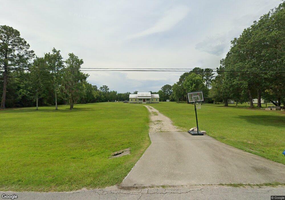
5135 Silo Rd Saint Augustine, FL 32092
Estimated Value: $498,000 - $919,776
4
Beds
2
Baths
2,462
Sq Ft
$270/Sq Ft
Est. Value
About This Home
This home is located at 5135 Silo Rd, Saint Augustine, FL 32092 and is currently estimated at $663,694, approximately $269 per square foot. 5135 Silo Rd is a home located in St. Johns County with nearby schools including Picolata Crossing Elementary School, Pacetti Bay Middle School, and Mill Creek Baptist Christian Academy.
Ownership History
Date
Name
Owned For
Owner Type
Purchase Details
Closed on
Dec 14, 2011
Sold by
Walter Lester O and Walter Allison M
Bought by
Hunt Charles and Hunt Jennifer
Current Estimated Value
Purchase Details
Closed on
Apr 13, 2005
Sold by
Bradwish Robert W and Bradwish Judy K
Bought by
Walter Lester O and Walter Allison M
Home Financials for this Owner
Home Financials are based on the most recent Mortgage that was taken out on this home.
Original Mortgage
$188,000
Interest Rate
6.25%
Mortgage Type
Fannie Mae Freddie Mac
Purchase Details
Closed on
Jun 8, 2002
Sold by
Pastorin Domitilo M and Pastorin Hilda Grace
Bought by
Bradwish Robert W and Bradwish Judy K
Purchase Details
Closed on
May 17, 2002
Sold by
Anfort Inc
Bought by
Pastorin Domitilo M and Pastorin Hilda Grace
Create a Home Valuation Report for This Property
The Home Valuation Report is an in-depth analysis detailing your home's value as well as a comparison with similar homes in the area
Purchase History
| Date | Buyer | Sale Price | Title Company |
|---|---|---|---|
| Hunt Charles | $196,000 | Keith Watson Title Svcs Inc | |
| Walter Lester O | $235,000 | Watson & Osborne Title Servi | |
| Bradwish Robert W | $105,000 | Independent Title Of St Augu | |
| Pastorin Domitilo M | -- | Independent Title Of St Augu |
Source: Public Records
Mortgage History
| Date | Status | Borrower | Loan Amount |
|---|---|---|---|
| Previous Owner | Walter Lester O | $188,000 |
Source: Public Records
Tax History
| Year | Tax Paid | Tax Assessment Tax Assessment Total Assessment is a certain percentage of the fair market value that is determined by local assessors to be the total taxable value of land and additions on the property. | Land | Improvement |
|---|---|---|---|---|
| 2025 | $254 | $408,203 | -- | -- |
| 2024 | $254 | $396,699 | -- | -- |
| 2023 | $254 | $385,145 | $0 | $0 |
| 2022 | $236 | $373,927 | $0 | $0 |
| 2021 | $230 | $363,036 | $0 | $0 |
| 2020 | $230 | $358,024 | $0 | $0 |
| 2019 | $230 | $349,975 | $0 | $0 |
| 2018 | $222 | $343,449 | $0 | $0 |
| 2017 | $222 | $344,466 | $150,000 | $194,466 |
| 2016 | $222 | $344,466 | $0 | $0 |
| 2015 | $5,475 | $346,449 | $0 | $0 |
| 2014 | $2,291 | $150,000 | $0 | $0 |
Source: Public Records
Map
Nearby Homes
- 1194 Ardmore St
- 1315 Ardmore St
- 1314 Ardmore St
- 673 Mackenzie Cir
- 3541 Pacetti Rd
- 1004 Enon Ct
- 3737 Berenstain Dr
- 448 Bostwick Cir
- 4208 S Franklinia St
- 121 Terracina Dr
- 1208 Wildfair Ct
- 2624 Oakgrove Ave
- 2844 Oakgrove Ave
- 3533 Crest St
- 1448 Barrington Cir
- 36 Sunberry Way
- 49 Sunberry Way
- 80 Oak Cluster Ln
- 1170 Registry Blvd
- 2498 Trailmark Dr
- 5135 Silo Rd
- 5125 Silo Rd
- 5145 Silo Rd
- 833 Mackenzie Cir
- 829 Mackenzie Cir
- 825 Mackenzie Cir
- 837 Mackenzie Cir
- 841 Mackenzie Cir
- 845 Mackenzie Cir
- 821 Mackenzie Cir
- 849 Mackenzie Cir
- 853 Mackenzie Cir
- 817 Mackenzie Cir
- 857 Mackenzie Cir
- 813 Mackenzie Cir
- 861 MacKenzi
- 809 Mackenzie Cir
- 865 Mackenzie Cir
- 805 Mackenzie Cir
- 801 Mackenzie Cir
Your Personal Tour Guide
Ask me questions while you tour the home.