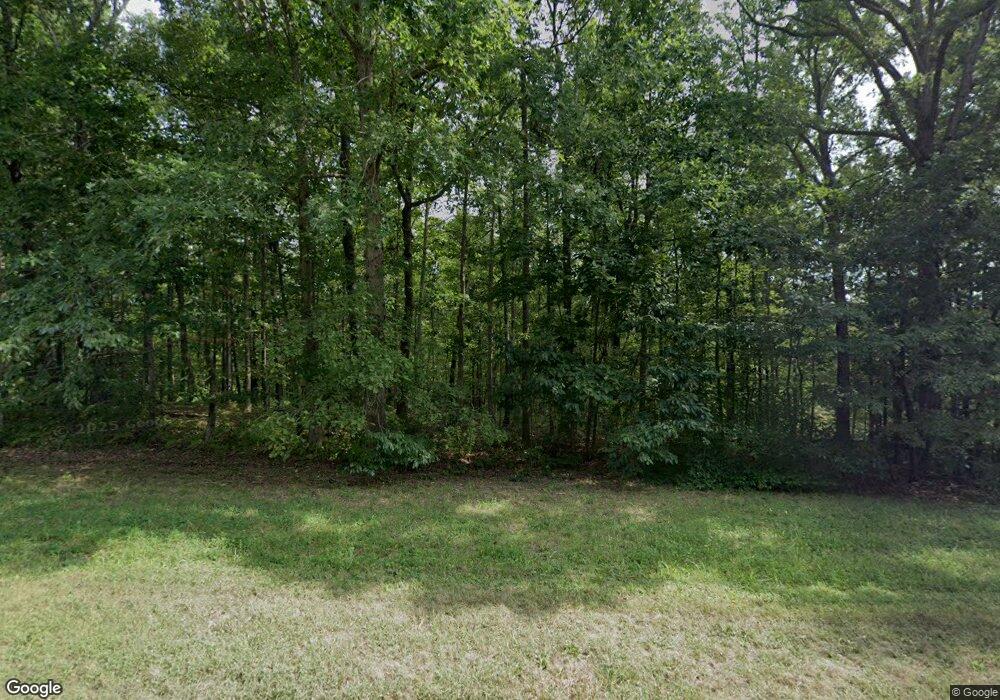
5136 Fire Tower Rd Unit 5140 Franklin, TN 37064
Estimated Value: $2,222,000 - $4,431,790
--
Bed
4
Baths
3,279
Sq Ft
$903/Sq Ft
Est. Value
About This Home
This home is located at 5136 Fire Tower Rd Unit 5140, Franklin, TN 37064 and is currently estimated at $2,961,263, approximately $903 per square foot. 5136 Fire Tower Rd Unit 5140 is a home located in Williamson County with nearby schools including Walnut Grove Elementary School, Grassland Middle School, and Franklin High School.
Ownership History
Date
Name
Owned For
Owner Type
Purchase Details
Closed on
Sep 28, 2006
Sold by
Kay John and Maue Kay Jutta
Bought by
Munro James F and Munro Patricia W
Current Estimated Value
Home Financials for this Owner
Home Financials are based on the most recent Mortgage that was taken out on this home.
Original Mortgage
$725,000
Interest Rate
6.48%
Mortgage Type
Purchase Money Mortgage
Purchase Details
Closed on
Feb 20, 2003
Sold by
Kay John and Maue Kay Jutta
Bought by
Kay John and Maue Kay Jutta
Home Financials for this Owner
Home Financials are based on the most recent Mortgage that was taken out on this home.
Original Mortgage
$179,500
Interest Rate
5.95%
Create a Home Valuation Report for This Property
The Home Valuation Report is an in-depth analysis detailing your home's value as well as a comparison with similar homes in the area
Home Values in the Area
Average Home Value in this Area
Purchase History
| Date | Buyer | Sale Price | Title Company |
|---|---|---|---|
| Munro James F | $1,725,000 | Overland Title Company Llc | |
| Kay John | -- | -- |
Source: Public Records
Mortgage History
| Date | Status | Borrower | Loan Amount |
|---|---|---|---|
| Closed | Munro James F | $725,000 | |
| Previous Owner | Kay John | $179,500 |
Source: Public Records
Tax History Compared to Growth
Tax History
| Year | Tax Paid | Tax Assessment Tax Assessment Total Assessment is a certain percentage of the fair market value that is determined by local assessors to be the total taxable value of land and additions on the property. | Land | Improvement |
|---|---|---|---|---|
| 2025 | $3,062 | $211,625 | $39,750 | $171,875 |
| 2024 | $3,062 | $162,875 | $22,825 | $140,050 |
| 2023 | $3,062 | $162,875 | $22,825 | $140,050 |
| 2022 | $3,062 | $162,875 | $22,825 | $140,050 |
| 2021 | $3,062 | $162,875 | $22,825 | $140,050 |
| 2020 | $3,256 | $146,675 | $15,675 | $131,000 |
| 2019 | $2,218 | $99,925 | $15,675 | $84,250 |
| 2018 | $1,559 | $72,525 | $12,525 | $60,000 |
| 2017 | $2,177 | $101,275 | $15,675 | $85,600 |
| 2016 | $2,177 | $101,275 | $15,675 | $85,600 |
| 2015 | -- | $87,375 | $12,050 | $75,325 |
| 2014 | -- | $87,375 | $12,050 | $75,325 |
Source: Public Records
Map
Nearby Homes
- 5180 Fire Tower Rd
- 5222 Still House Hollow Rd
- 5284 Poor House Hollow Rd
- 5010 Chinkapin Ln
- 5436 Parker Branch Rd
- 5362 Parker Branch Rd
- 5204 Drury Ln
- 2029 Vista Creek Ln
- 2022 Old Hillsboro Rd
- 3945 New Highway 96 W
- 2021 Vista Creek Ln
- 2032 Vista Creek Ln
- 2014 Old Hillsboro Rd
- 2028 Vista Creek Ln
- 5504 Parker Branch Rd
- 2009 Vista Creek Ln
- 2005 Vista Creek Ln
- 2013 Vista Creek Ln
- 2001 Vista Creek Ln
- 2006 Vista Creek Ln
- 5285 Still House Hollow Rd
- 5155 Fire Tower Rd
- 5348 Indian Valley Rd
- 5141 Fire Tower Rd
- 5125 Fire Tower Rd
- 5170 Fire Tower Rd
- 5240 Still House Hollow Rd
- 5339 Indian Valley Rd
- 5184 Fire Tower Rd
- 5236 Still House Hollow Rd
- 5340 Indian Valley Rd
- 1 Poor House Hollow Rd
- 2 Poor House Hollow Rd
- 0 Poor House Hollow Rd
- 5317 Big East Fork Rd
- 4 Still House Hollow Rd
- 0 Still House Hollow Rd
- 5327 Big East Fork Rd
- 5230 Still House Hollow Rd
- 5330 Indian Valley Rd
