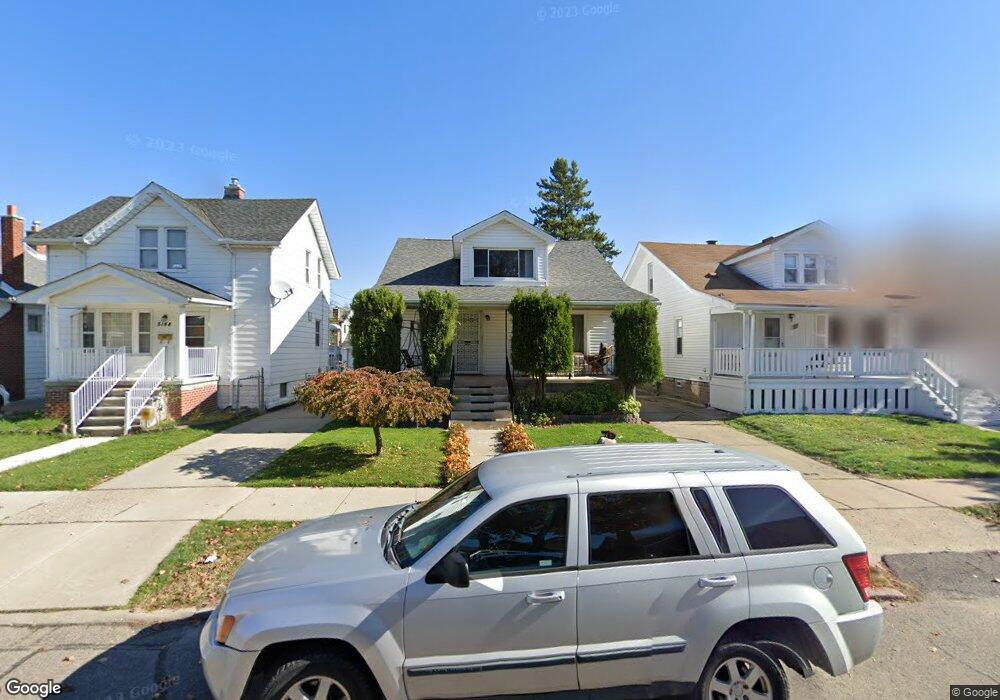
5138 Maple St Dearborn, MI 48126
Colson Ruby NeighborhoodEstimated Value: $207,000 - $263,000
4
Beds
2
Baths
1,296
Sq Ft
$183/Sq Ft
Est. Value
About This Home
This home is located at 5138 Maple St, Dearborn, MI 48126 and is currently estimated at $237,350, approximately $183 per square foot. 5138 Maple St is a home located in Wayne County with nearby schools including Henry Ford Elementary School, Fordson High School, and Advanced Technology Academy.
Ownership History
Date
Name
Owned For
Owner Type
Purchase Details
Closed on
Oct 7, 2021
Sold by
Mestrah Ali
Bought by
Mestrah Ali and Mostrah Mohamad Ali
Current Estimated Value
Purchase Details
Closed on
Sep 30, 2021
Sold by
Mestrah Ali
Bought by
Mestrah Ali and Mostrah Mohamad Ali
Purchase Details
Closed on
May 27, 2004
Sold by
Mestrah Ali and Farran Amal
Bought by
Mestrah Ali
Purchase Details
Closed on
Dec 30, 1999
Sold by
Campian Susan M
Bought by
Farran Amal
Create a Home Valuation Report for This Property
The Home Valuation Report is an in-depth analysis detailing your home's value as well as a comparison with similar homes in the area
Home Values in the Area
Average Home Value in this Area
Purchase History
| Date | Buyer | Sale Price | Title Company |
|---|---|---|---|
| Mestrah Ali | -- | Land Title | |
| Mestrah Ali | -- | None Listed On Document | |
| Mestrah Ali | -- | Stewart Title | |
| Farran Amal | $79,900 | -- |
Source: Public Records
Tax History
| Year | Tax Paid | Tax Assessment Tax Assessment Total Assessment is a certain percentage of the fair market value that is determined by local assessors to be the total taxable value of land and additions on the property. | Land | Improvement |
|---|---|---|---|---|
| 2025 | $1,896 | $94,100 | $0 | $0 |
| 2024 | $1,854 | $74,600 | $0 | $0 |
| 2023 | $1,755 | $66,200 | $0 | $0 |
| 2022 | $1,974 | $61,500 | $0 | $0 |
| 2021 | $2,294 | $58,300 | $0 | $0 |
| 2019 | $301 | $51,200 | $0 | $0 |
| 2018 | $1,927 | $45,600 | $0 | $0 |
| 2017 | $552 | $42,500 | $0 | $0 |
| 2016 | $1,800 | $40,200 | $0 | $0 |
| 2015 | $3,401 | $37,350 | $0 | $0 |
| 2013 | $3,295 | $32,950 | $0 | $0 |
| 2011 | -- | $37,450 | $0 | $0 |
Source: Public Records
Map
Nearby Homes
- 5158 Neckel St
- 7800 Schaefer Rd
- 4913 Middlesex St
- 5478 Williamson St
- 4649 Jonathon St
- 5424 Bingham St
- 5444 Kenilworth St
- 7 Georgetown Ct
- 5430 Kendal St
- 5059 Hartwell St
- 4315 Bingham St
- 4215 Schaefer Rd
- 5268 Hartwell St
- 5439 Hartwell St
- 4342 Lois St
- 5444 Hartwell St
- 14415 Lithgow St
- 14203 Barclay St
- 5861 Bingham St
- 6019 Maple St
Your Personal Tour Guide
Ask me questions while you tour the home.