514 Howard Ave Slinger, WI 53086
Estimated Value: $328,200 - $404,000
2
Beds
1
Bath
1,418
Sq Ft
$259/Sq Ft
Est. Value
About This Home
This home is located at 514 Howard Ave, Slinger, WI 53086 and is currently estimated at $367,050, approximately $258 per square foot. 514 Howard Ave is a home located in Washington County with nearby schools including Slinger High School and St Peter Elementary School.
Ownership History
Date
Name
Owned For
Owner Type
Purchase Details
Closed on
Mar 31, 2017
Sold by
Plumb Cory A Wulff and Plumb Lisa M Wilde Wulff
Bought by
Kriz Sharon
Current Estimated Value
Purchase Details
Closed on
May 31, 2011
Sold by
St John Jason and St John Adina
Bought by
Wild Lisa M and Wulff Cory A
Home Financials for this Owner
Home Financials are based on the most recent Mortgage that was taken out on this home.
Original Mortgage
$161,802
Interest Rate
4.67%
Mortgage Type
Unknown
Create a Home Valuation Report for This Property
The Home Valuation Report is an in-depth analysis detailing your home's value as well as a comparison with similar homes in the area
Home Values in the Area
Average Home Value in this Area
Purchase History
| Date | Buyer | Sale Price | Title Company |
|---|---|---|---|
| Kriz Sharon | $184,000 | Burnet Title Llc | |
| Wild Lisa M | $167,000 | Abstract & Title Company |
Source: Public Records
Mortgage History
| Date | Status | Borrower | Loan Amount |
|---|---|---|---|
| Previous Owner | Wild Lisa M | $161,802 |
Source: Public Records
Tax History
| Year | Tax Paid | Tax Assessment Tax Assessment Total Assessment is a certain percentage of the fair market value that is determined by local assessors to be the total taxable value of land and additions on the property. | Land | Improvement |
|---|---|---|---|---|
| 2025 | $3,504 | $297,700 | $60,500 | $237,200 |
| 2024 | $3,285 | $297,700 | $60,500 | $237,200 |
| 2023 | $2,818 | $218,300 | $46,400 | $171,900 |
| 2022 | $2,893 | $218,300 | $46,400 | $171,900 |
| 2021 | $2,754 | $218,300 | $46,400 | $171,900 |
| 2020 | $2,751 | $189,800 | $44,500 | $145,300 |
| 2019 | $2,701 | $179,600 | $44,500 | $135,100 |
| 2018 | $2,605 | $175,500 | $44,500 | $131,000 |
| 2017 | $2,399 | $155,700 | $42,200 | $113,500 |
| 2016 | $2,491 | $152,000 | $42,200 | $109,800 |
| 2015 | $2,660 | $152,000 | $42,200 | $109,800 |
| 2014 | $2,660 | $152,000 | $42,200 | $109,800 |
| 2013 | $3,178 | $179,300 | $52,500 | $126,800 |
Source: Public Records
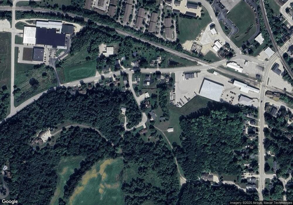
Map
Nearby Homes
- 295 Hartford Rd
- 308 Oak St Unit 201
- 308 Oak St Unit 101
- 308 Oak St Unit 102
- 308 Oak St Unit 202
- 308 Oak St
- 401 Slinger Rd Unit 1
- 565 Slinger Rd Unit C3
- 501 Slinger Rd Unit 1
- 731 Hidden View Ct
- 710 Saint Paul Dr
- 762 Valley Forge Dr
- 520 Bayberry Ln
- 235 Farmstead Dr E
- Lt3 Kettle Moraine Rd
- LT2 Kettle Moraine Rd
- 496 Glacier Pass
- 555 Spur Rd
- 231 Nordic Ln
- 322 Sandstone Dr
- 510 Howard Ave
- 520 Howard Ave
- 239 Hartford Rd Unit 241
- 500 Howard Ave
- 223 Hartford Rd
- 530 Howard Ave
- 215 Hartford Rd
- 207 Hartford Rd
- 204 Hartford Rd
- 255 Hartford Rd
- 210 Hartford Rd
- 247 Hartford Rd
- 220 Hartford Rd
- 263 Hartford Rd
- 230 Hartford Rd Unit 232
- 271 Hartford Rd
- 279 Hartford Rd Unit 281
- 287 Hartford Rd
- 108 Hartford Rd
- 561 Howard Ave
Your Personal Tour Guide
Ask me questions while you tour the home.