Estimated Value: $551,775 - $591,000
Studio
--
Bath
1,350
Sq Ft
$423/Sq Ft
Est. Value
About This Home
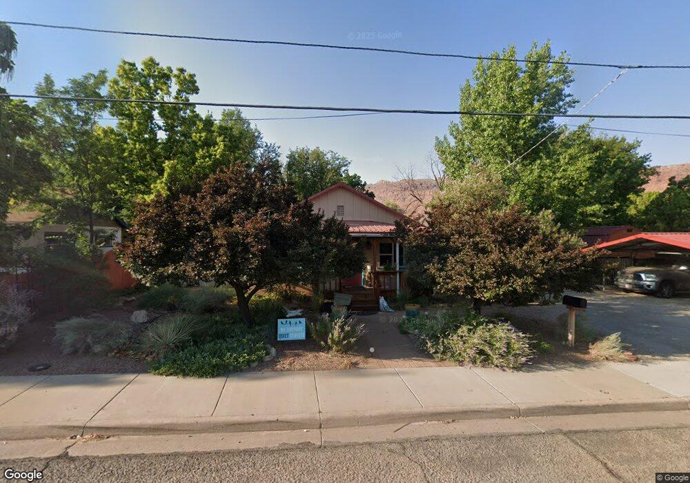
This home is located at 514 Locust Ln, Moab, UT 84532 and is currently estimated at $571,194, approximately $423 per square foot. 514 Locust Ln is a home with nearby schools including Helen M. Knight School, Grand County Middle School, and Grand County High School.
Ownership History
Date
Name
Owned For
Owner Type
Purchase Details
Closed on
Aug 10, 2012
Sold by
Hartley John A and Hicks Barbara M
Bought by
Hicks Barbara M and Hartley John A
Current Estimated Value
Home Financials for this Owner
Home Financials are based on the most recent Mortgage that was taken out on this home.
Original Mortgage
$175,000
Outstanding Balance
$119,561
Interest Rate
3.53%
Mortgage Type
New Conventional
Estimated Equity
$451,633
Create a Home Valuation Report for This Property
The Home Valuation Report is an in-depth analysis detailing your home's value as well as a comparison with similar homes in the area
Home Values in the Area
Average Home Value in this Area
Purchase History
| Date | Buyer | Sale Price | Title Company |
|---|---|---|---|
| Hicks Barbara M | -- | -- |
Source: Public Records
Mortgage History
| Date | Status | Borrower | Loan Amount |
|---|---|---|---|
| Open | Hicks Barbara M | $175,000 |
Source: Public Records
Tax History
| Year | Tax Paid | Tax Assessment Tax Assessment Total Assessment is a certain percentage of the fair market value that is determined by local assessors to be the total taxable value of land and additions on the property. | Land | Improvement |
|---|---|---|---|---|
| 2025 | $3,202 | $552,386 | $100,000 | $452,386 |
| 2024 | $3,202 | $552,386 | $100,000 | $452,386 |
| 2023 | $3,305 | $493,379 | $100,000 | $393,379 |
| 2022 | $2,483 | $481,921 | $100,000 | $381,921 |
| 2021 | $1,851 | $310,126 | $65,880 | $244,246 |
| 2020 | $1,357 | $219,211 | $65,880 | $153,331 |
| 2019 | $1,281 | $219,211 | $65,880 | $153,331 |
| 2018 | $1,270 | $219,211 | $65,880 | $153,331 |
| 2017 | $1,315 | $0 | $0 | $0 |
| 2016 | $1,302 | $0 | $0 | $0 |
| 2015 | $1,114 | $0 | $0 | $0 |
| 2014 | $1,073 | $0 | $0 | $0 |
| 2013 | -- | $103,579 | $0 | $0 |
Source: Public Records
Map
Nearby Homes
- 499 E 200 S
- 424 E Secret Cove Ct
- 199 S 400 E
- 552 Nichols Ln
- 318 E Pueblo Ct
- 346 E 200 S Unit A105
- 346 E 200 S Unit A208
- 346 E 200 S Unit A202
- 346 E 200 S Unit A203
- 346 E 200 S Unit A201
- 346 E 200 S Unit A206
- 346 E 200 S Unit A103
- 346 E 200 S Unit A107
- 346 E 200 S Unit A207
- 738 Locust Ln
- 615 Rosetree Ln
- 248 Hillside Dr
- 494 E Kachina Way
- 661 S 400 E
- 214 S 200 E Unit 6
Your Personal Tour Guide
Ask me questions while you tour the home.