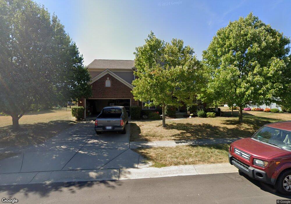
514 Raven Cir Brownsburg, IN 46112
Estimated Value: $449,000 - $538,000
4
Beds
3
Baths
4,167
Sq Ft
$118/Sq Ft
Est. Value
About This Home
This home is located at 514 Raven Cir, Brownsburg, IN 46112 and is currently estimated at $493,769, approximately $118 per square foot. 514 Raven Cir is a home located in Hendricks County with nearby schools including Eagle Elementary School, Brownsburg West Middle School, and Brownsburg High School.
Ownership History
Date
Name
Owned For
Owner Type
Purchase Details
Closed on
Feb 18, 2005
Sold by
Pulte Homes Of Indiana Llc
Bought by
Chambers Scott M and Chambers Betsy K
Current Estimated Value
Home Financials for this Owner
Home Financials are based on the most recent Mortgage that was taken out on this home.
Original Mortgage
$239,089
Outstanding Balance
$121,205
Interest Rate
5.71%
Mortgage Type
New Conventional
Estimated Equity
$372,564
Create a Home Valuation Report for This Property
The Home Valuation Report is an in-depth analysis detailing your home's value as well as a comparison with similar homes in the area
Home Values in the Area
Average Home Value in this Area
Purchase History
| Date | Buyer | Sale Price | Title Company |
|---|---|---|---|
| Chambers Scott M | -- | None Available |
Source: Public Records
Mortgage History
| Date | Status | Borrower | Loan Amount |
|---|---|---|---|
| Open | Chambers Scott M | $239,089 |
Source: Public Records
Tax History Compared to Growth
Tax History
| Year | Tax Paid | Tax Assessment Tax Assessment Total Assessment is a certain percentage of the fair market value that is determined by local assessors to be the total taxable value of land and additions on the property. | Land | Improvement |
|---|---|---|---|---|
| 2024 | $4,075 | $407,500 | $84,800 | $322,700 |
| 2023 | $3,739 | $373,900 | $77,000 | $296,900 |
| 2022 | $3,599 | $359,900 | $73,500 | $286,400 |
| 2021 | $3,175 | $317,500 | $69,200 | $248,300 |
| 2020 | $3,205 | $320,500 | $69,200 | $251,300 |
| 2019 | $3,062 | $306,200 | $64,900 | $241,300 |
| 2018 | $2,915 | $291,500 | $64,900 | $226,600 |
| 2017 | $2,767 | $276,700 | $61,800 | $214,900 |
| 2016 | $2,791 | $279,100 | $61,800 | $217,300 |
| 2014 | $2,678 | $267,800 | $59,400 | $208,400 |
Source: Public Records
Map
Nearby Homes
- 5756 Foxfire Ln
- 6185 E US Highway 136
- 1597 Redsunset Dr
- 5037 Carmine St
- 5523 Sienna Ct
- 4970 Amber Crest Dr
- 5010 Carmine St
- 4919 Amber Crest Dr
- 4928 Amber Crest Dr
- 5015 Carmine St
- 5066 Carmine St
- 4976 Amber Crest Dr
- 5024 Carmine St
- 5040 Carmine St
- 5002 Bergamot Dr
- 4947 Amber Crest Dr
- 5052 Carmine St
- 5026 Bergamot Dr
- 5032 Carmine St
- Glacier II Plan at Auburn Ridge - Legacy Series